Name/Title
S02.14.026Description
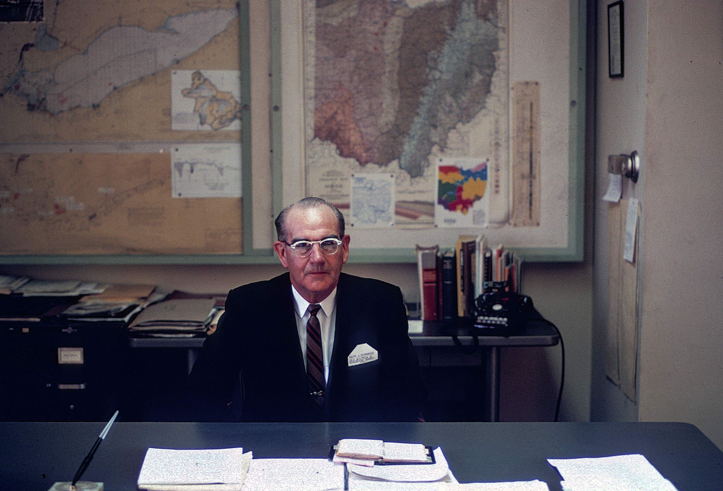
Ralph J. Bernhagen, Chief of the Ohio Geological Survey from 1957 to 1968. The image was taken in March 1967. During Mr. Bernhagen's tenure as Chief, the Ohio Geological Survey fielded information requests on mineral resources from Ohioans, other states, and Great Britain. The Survey also completed 7.5-minute topograhic mapping of the entire state of Ohio. The Lake Erie Section was established as a part of the Ohio Geological Survey in 1961. The Survey also helped represent the State of Ohio in the Ohio-Michigan boundary dispute of the 1960s.
The Ohio Department of Natural Resources, Division of Geological Survey's main office was located at 1207 Grandview Avenue, Grandview Heights, Ohio 43212 from 1962 through May 1973. The Geological Survey's offices were on part of the first floor and all of the second floor of the building.
This slide image included in the USGS National Digital Catalog for NGGDPP Grant G15AP00115 in FY2015.Context
Man sitting at his desk; maps hang on the wall behind him and papers are laid out on his desk. Taken at the office in Grandview Heights, Ohio.