Name/Title
S02.14.047ADescription
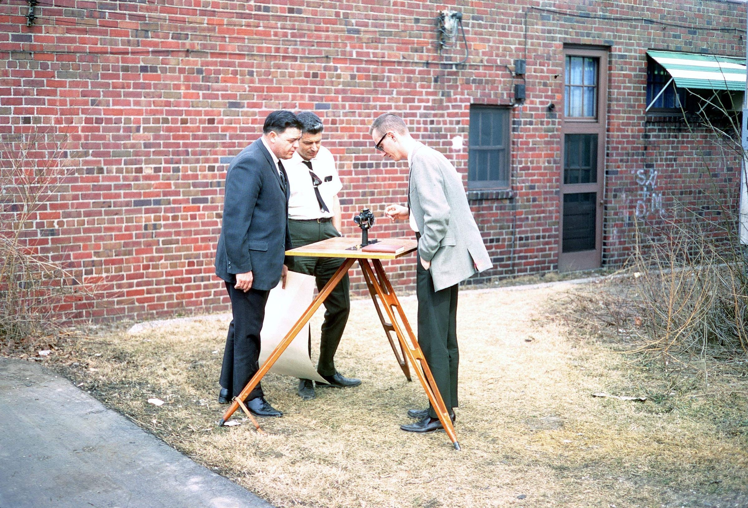
Bradley E. Smith, Richard A. Struble, and David A. Stith in the Ohio Geological Survey parking lot at the Grandview office building on March 8, 1968. The geologists are looking at a plane table support holding an alidade. The alidade is a sighting device or pointer used for determining directions or measuring angles, used in surveying.
In an email from July 2016, Davide Stith wrote the following memory of the equipment: The wood plank with legs is a Plane Table and the black instrument sitting on the table is an Alidade. It is somewhat akin to a transit and greatly predates the whole GPS concept. The main uses of the two items would be to make a detailed topographic map of a small area or to determine the location and elevation of a site from a known position. It was one of the few instrumental things the Survey had when I started. I only remember using it one time - to locate the site and elevation of 5 cores in the Brassfield Limestone that the Cement company that donated them did not provide us.
The Ohio Department of Natural Resources, Division of Geological Survey's main office was located at 1207 Grandview Avenue, Grandview Heights, Ohio 43212 from 1962 through May 1973. The Geological Survey's offices were on part of the first floor and all of the second floor of the building. The Grandview office had x-ray, petrography, and geochemistry laboratories on the first floor. More informally, rooms with coal polishing equipment, microscopes, and other types of equipment were located in various spaces at the Grandview office.
Information about the history of the Survey's facilities is available in Survey Opens New Core and Sample Repository by Merrianne Hackathorn (Ohio Geological Survey, Ohio Geology Newsletter, No. 4, 1999).
This slide image included in the USGS National Digital Catalog for NGGDPP Grant G15AP00115 in FY2015.Context
Three men looking at black instrument on wooden, tripod table. In the parking lot at Grandview Heights office in Ohio.