Name/Title
S04.01.012Description
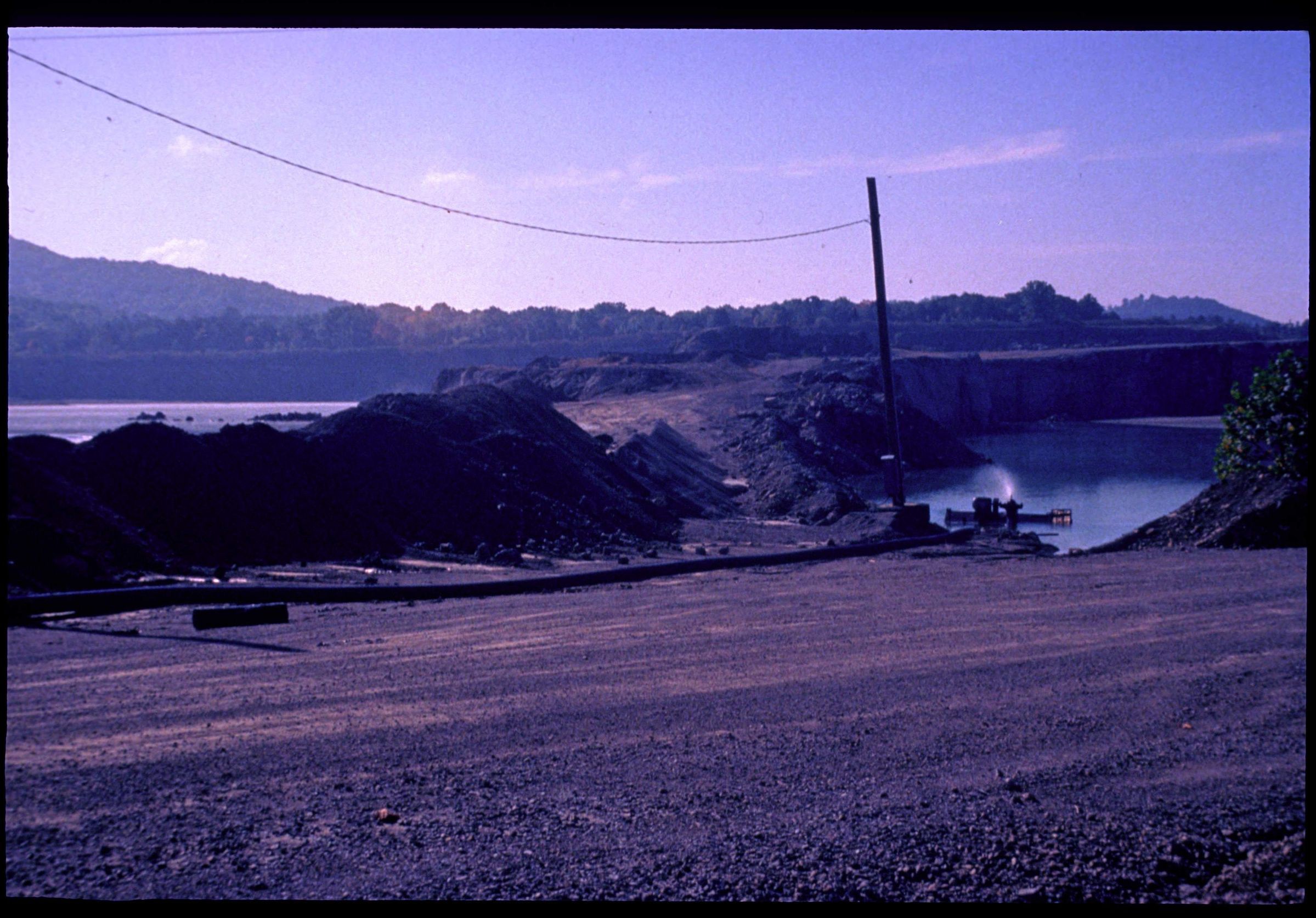
The Plum Run Stone quarry near Peebles, Adams County, Ohio. This image was taken near a fault with graben foramtion in the quarry. The Plum Run quarry is about 6 miles southeast of the central uplift of the Serpent Mound disturbance. According to Subsurface Geology of the Serpent Mound Disturbance, Adams, Highland, and Pike Counties, Ohio (Report of Investigations No. 146, page 9), a series of north-northwest-oriented grabens, bounded by normal faults and folds, has been observed at the Plum Run quarry. This area has dolomite, shale, limestone and sandstone lithologies. Bedrock is from the Silurian Geologic Period. The photograph was taken by Gerald H. Newsom during the American Association of Petroleum Geologists Eastern Section Meeting Field Trip to the Plum Run Quarry and the Serpent Mound Disturbance on October 10, 1998.
This slide image included in the USGS National Digital Catalog for NGGDPP Grant G15AP00115 in FY2015.Context
Overview of rock quarry; water pool seen in foreground. Plum Run Stone quarry near Peebles, Ohio.