Name/Title
S04.02.024Description
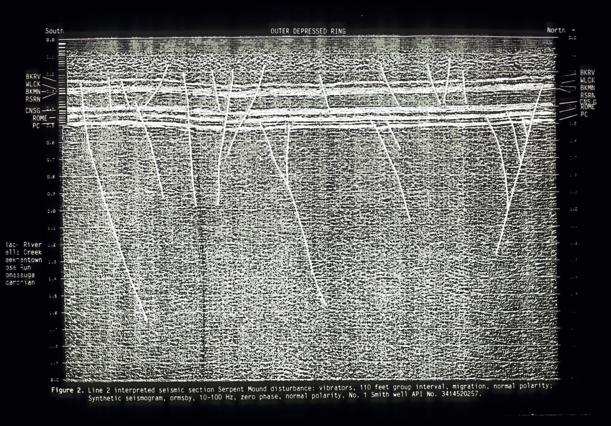
A section of the seismic reflection profile SM-1 of the outer depressed ring from the Serpent Mound Impact Structure. The seismic line was run in 1989 courtesy of Columbia Natural Resources, Inc., of Charleston, West Virginia. The line followed Ohio State Route 41 and crossed through the transition zone and ring graben along the eastern part of the impact structure. Interpretation of the seismic reflection survey line was done by Mark T. Baranoski, Ohio Division of Geological Survey, for his paper Interpretation of Seismic Data Acquired Over the Serpent Mound Disturbance in Adams County, Ohio, collected in An Update on Ohio's Subsurface Geology for the Special Meeting of the Ohio Geological Society, Canton (Ohio), 1993.
The Serpent Mound Impact Structure is an approximately 9-mile-diameter area of highly disturbed and structurally deformed bedrock at the intersection of Adams, Highland and Pike counties. The area of the impact structure has dolomite, shale, limestone, sandstone, and siltstone lithologies. Because of the geologic forces that have acted on the site of the impact crater, bedrock in the area is a mixture of uplifted, down dropped, faulted, folded and eroded rock from the Ordovician, Silurian, Devonian and Mississippian Geologic Periods. The deeply eroded crater is believed to have been formed by an asteroid or a comet impact approximately 250 to 300 million years ago. It is named the Serpent Mound Impact Structure after the prehistoric American Indian effigy earthwork located near the southwestern edge of the area. It is the single-most complex geologic structure exposed at the surface in Ohio. Investigation of the impact structure has been done using rock cores, seismic data, geophysical surveys and remote satellite imagery for the area.
This slide image included in the USGS National Digital Catalog for NGGDPP Grant G15AP00115 in FY2015.Context
Blacked out picture with seismic data and coordinates detailed in white font. Seismic data run by Columbia Natural Resources Incorporated and interpreted by Geological Survey staff member.