Name/Title
S06.08.018Description
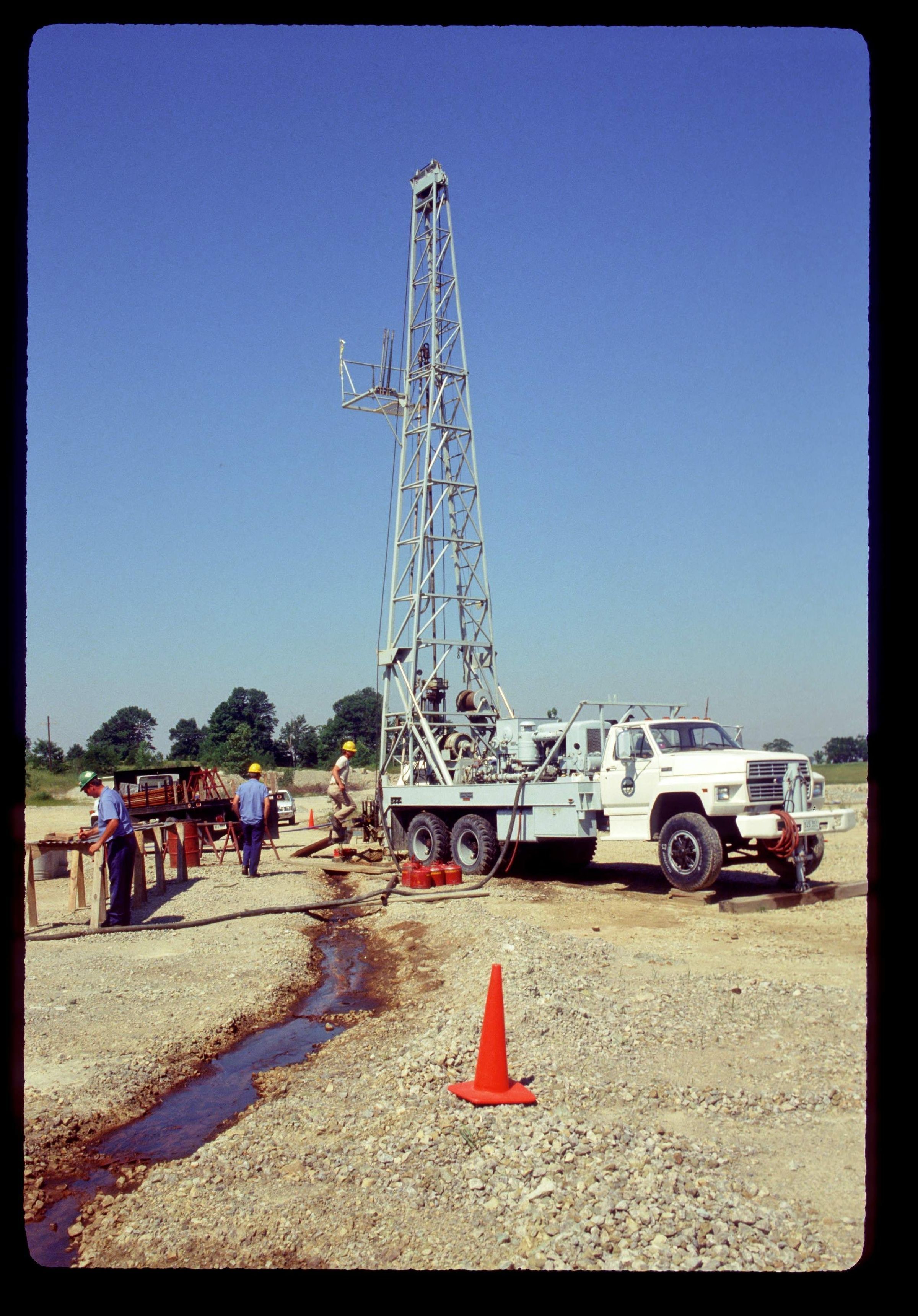
The Ohio Geological Survey's Longyear Hydro-44 drill core rig operating on the site of an American Aggregate Corporation quarry lease near the town of Lytle, Warren County, Ohio. The Warren County Deep Core Hole project was the second continuously cored hole planned to be drilled into the Precambrian basement rock in Ohio. The Ohio Geological Survey expected to reach the Precambrian rock at a depth of about 3,400 feet. At that depth, the drill rig shown working here encountered a previously unknown massive sandstone formation underlying the Mount Simon Sandstone of Upper Cambrian rock. The core hole went 1,910 feet into this sandstone. This core DGS # 2627 went to a total depth of 5,380 feet at the drill site without reaching Precambrian rock. The Survey's Longyear Hydro-44 core rig had a total depth capacity of 5,700 feet, which would not surpass the unidentified sandstone unit. Drilling at the site was begun in October 1987. The need to find additional funding sources for the expanded project depth and the running of a seismic profile line at the site caused time delay. The drilling was completed in April 1989.
The image was taken by Michael C. Hansen.
Slide is date stamped with June 1988.
REVIEW
For more information, See: Warren County Deep Hole by Douglas L. Shrake and Michael C. Hansen (Ohio Geological Survey, Ohio Geology Newsletter, Summer 1989).
This slide image included in the USGS National Digital Catalog for NGGDPP Grant G15AP00115 in FY2015.Context
Outlook of drilling vehicle in motion and workers in the foreground. American Aggregate Corporation quarry near Lytle, Ohio.