Name/Title
S07.06.032Description
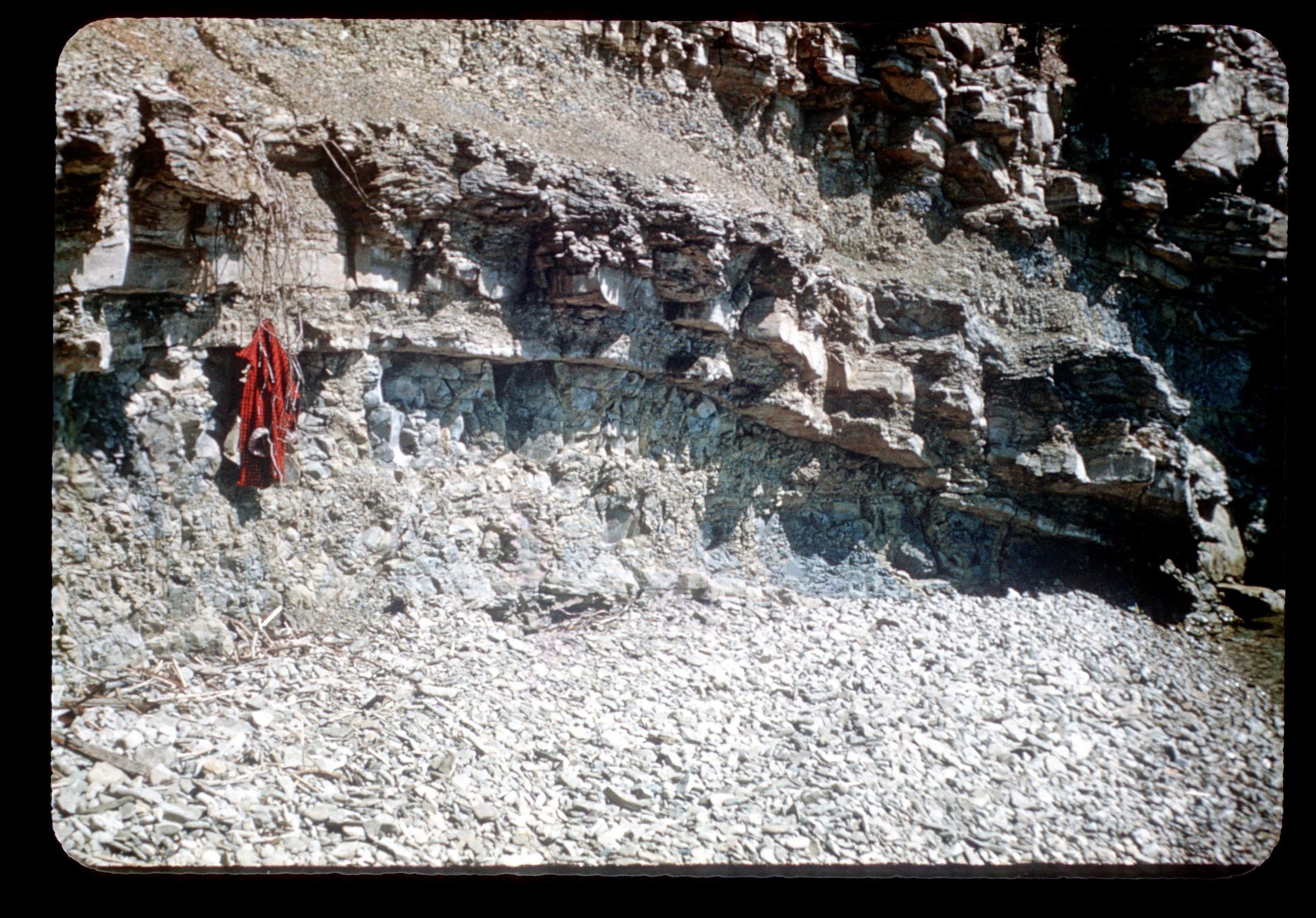
Bass Islands Dolomite outcrop on South Bass Island, Put-In-Bay Township, Ottawa County, Ohio. This area has dolomite, anhydrite, gypsum, salt and shale lithologies. Bedrock is from the Silurian Geologic Period. The slide image was created in 1952 by Philip M. Smith for the Ohio Cave Survey Project.
Information for this slide comes from Philip M. Smith's presentation notes for Exploring Ohio's Caves: An illustrated discussion of Ohio's underground caverns prepared for the information program of the Ohio Division of Geological Survey. The notes are in Box 1154, Folder 3 of the Geology Subject Files compiled by Pauline Smyth. This is slide 38 in the notes: Evidence of this doming is seen on the west shore of the South Bass Island where one dome has not collapsed.
The Ohio Cave Survey Project was formalized in 1952. The Central Ohio Grotto of the National Speleological Society in cooperation with the Ohio Geological Survey established a comprehensive survey of Ohio caves and caverns.
The location is approximate to the center of the island.
This photo is part of that project described by Philip M. Smith in his article The Ohio Cave Survey.
For more information about the project, see the following article resources:
The Ohio Cave Survey by Philip M. Smith (Ohio Journal of Science, vol. 53, no. 6, Nov. 1953, pages 325-236).
Let’s Save Ohio’s Caves. Smith, Philip M. Ohio Conservation Bulletin, v. 17, no. 4 (1953). Pages 6-7, 31 (4 figs.).
This slide image included in the USGS National Digital Catalog for NGGDPP Grant G15AP00115 in FY2015.Context
Layered dolomite outcrop; lifejackets hanging from outcrop. South Bass Island in Ottawa County, Ohio.