Name/Title
S08.01.032Description
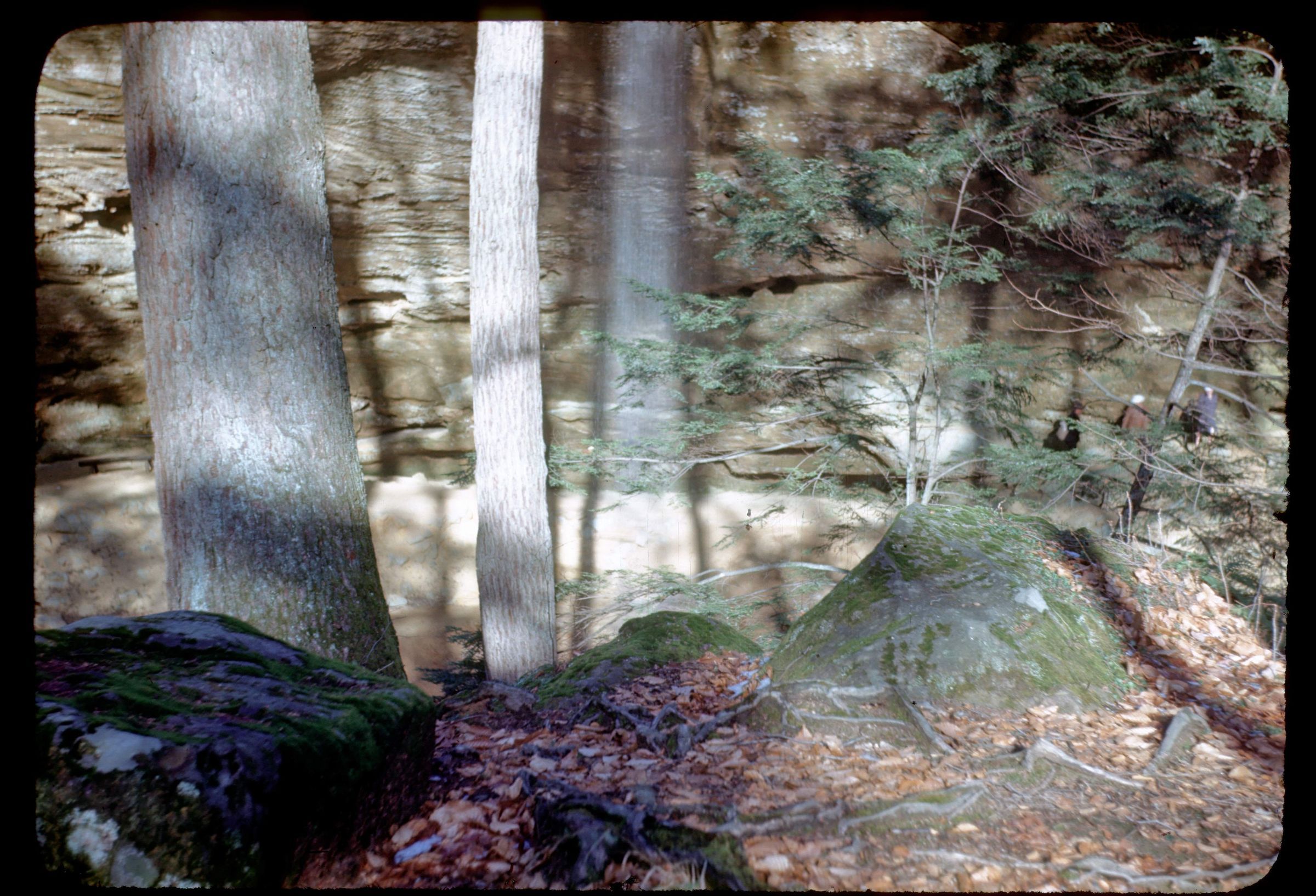
An outcrop of the Black Hand Sandstone Member of the Cuyahoga Formation that forms Ash Cave at Hocking Hills State Park, Hocking County, Ohio. Ash Cave is the most impressive in size of the many rock shelter caves in the Hocking Hills State Park area. The reentrant is 100 feet deep and 500 feet long. The rim is about 90 feet above the valley floor. A small waterfall flows along a small joint in the rim of the rock shelter and forms a well-developed plunge pool. Much of the margin of Ash Cave is formed by a large joint that follows the valley formed by a tributary of the East Fork of Queer Creek. Bedrock is from the Mississippian Geologic Period. The photograph was taken by George W. White in 1945.
Information taken from The Geology of Hocking State Park by John F. Hall (Ohio Geological Survey, Information Circular No. 8, 1953) and Geology of the South Bloomingville Quadrangle, Hocking and Vinton Counties, By Richard M. DeLong (Ohio Geological Survey, Report of Investigations, No. 63, 1968) and Geology of the Hocking Hills State Park Region by Michael C. Hansen (Ohio Division of Geological Survey, Guidebook No. 4, 1975).
This slide image included in the USGS National Digital Catalog for NGGDPP Grant G15AP00115 in FY2015.Context
Looking down past curved sandstone outcrop; people and trees in foreground. Ash Cave at Hocking Hills State Park.