Name/Title
S08.01.041Description
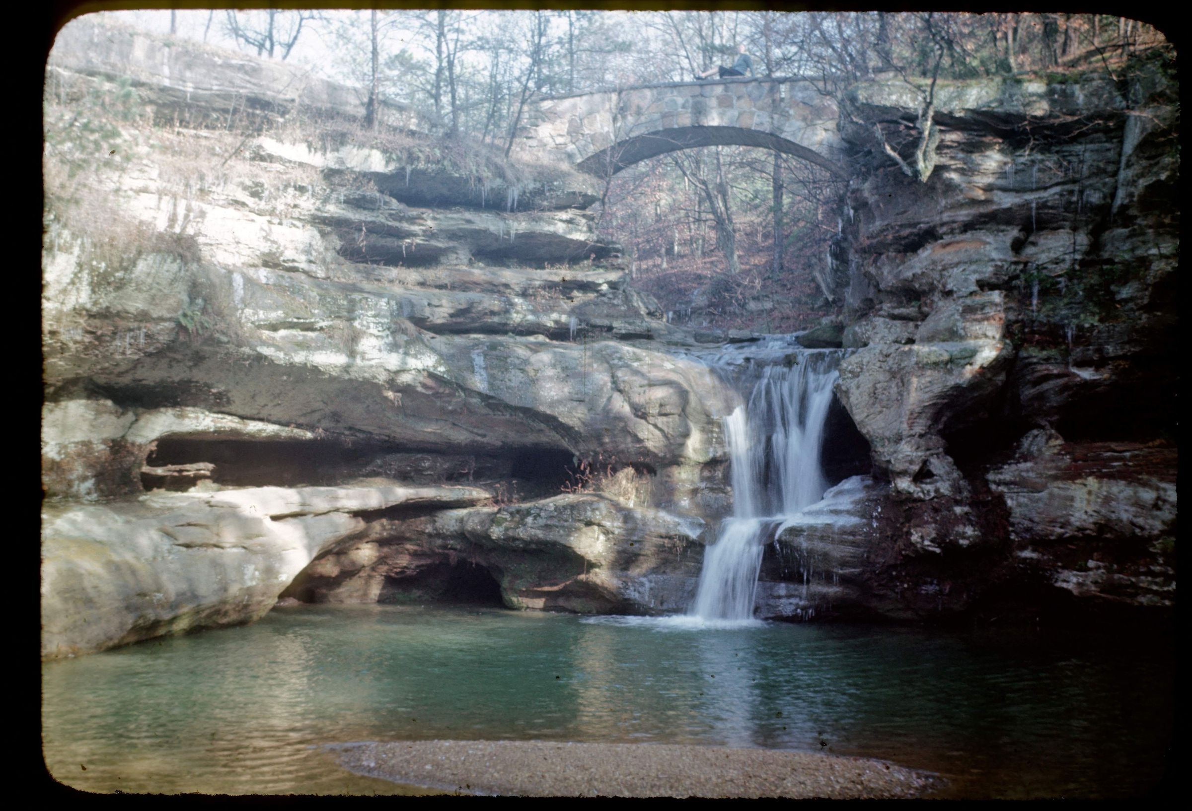
The Upper Falls at Hocking Hills State Park, Hocking County, Ohio. Upstream from Old Man's Cave at the head of the gorge, Old Man's Creek cascades over a series of ledges which are composed of the resistant upper layers of the Black Hand Sandstone. The cascade terminates in a waterfall, 30 to 40 feet high, called the Upper Falls. The undercut ledges associated with this falls are due to undermining by older streams that once flowed at these various levels. Bedrock is from the Mississippian Geologic Period. The photograph was taken by George W. White in 1945.
Information taken from The Geology of Hocking State Park by John F. Hall (Ohio Geological Survey, Information Circular No. 8, 1953) and Geology of the South Bloomingville Quadrangle, Hocking and Vinton Counties, By Richard M. DeLong (Ohio Geological Survey, Report of Investigations, No. 63, 1968) and Geology of the Hocking Hills State Park Region by Michael C. Hansen (Ohio Division of Geological Survey, Guidebook No. 4, 1975).
This slide image included in the USGS National Digital Catalog for NGGDPP Grant G15AP00115 in FY2015.Context
Small waterfall flowing down from sandstone outcrop into pond. Hocking Hills State Park.