Name/Title
S08.01.045Description
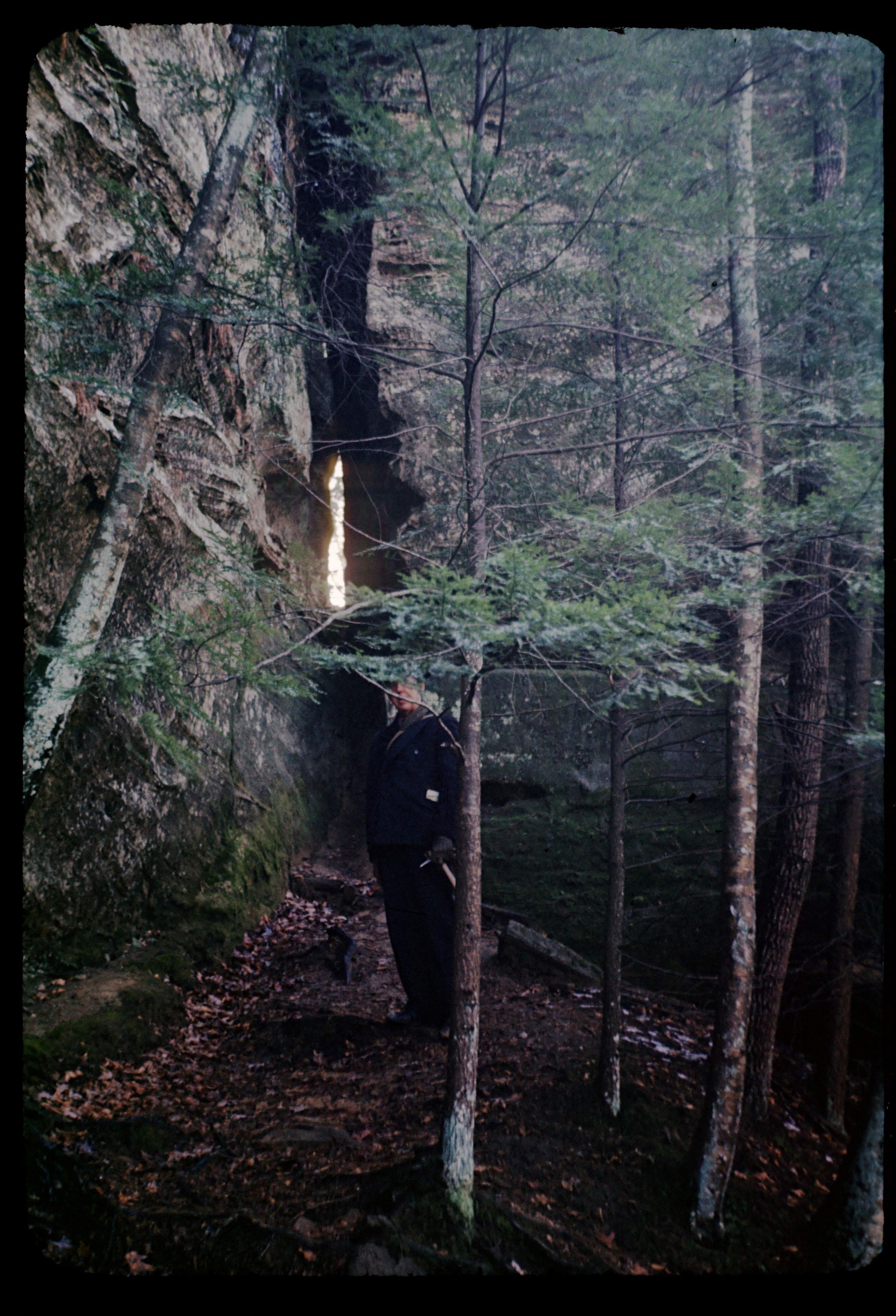
Cantwell Cliffs is the farthest north of the park areas in the Hocking Hills State Park, Hocking County, Ohio. It is primarily a gigantic precipice, 150 feet high in the shape of a horseshoe. The headward erosion of Buck Run worked on the Black Hand Sandstone to create the valley. Joints in the Black Hand Sandstone are abundantly evident. The trail approaching the rock shelter or recess cave at Cantwell Cliffs winds through narrow passages created by large slump blocks next to the main cliff. The narrowest of these passageways, known as Fat Woman's Squeeze is pictured in this photograph taken by George W. White in 1945. Bedrock is from the Mississippian Geologic Period.
Information taken from The Geology of Hocking State Park by John F. Hall (Ohio Geological Survey, Information Circular No. 8, 1953) and Geology of the South Bloomingville Quadrangle, Hocking and Vinton Counties, By Richard M. DeLong (Ohio Geological Survey, Report of Investigations, No. 63, 1968) and Geology of the Hocking Hills State Park Region by Michael C. Hansen (Ohio Division of Geological Survey, Guidebook No. 4, 1975).
This slide image included in the USGS National Digital Catalog for NGGDPP Grant G15AP00115 in FY2015.Context
Man standing at the bottom of sandstone outcrop wall in the woods. Cantwell Cliffs in Hocking Hills State Park.