Name/Title
S08.01.081Description
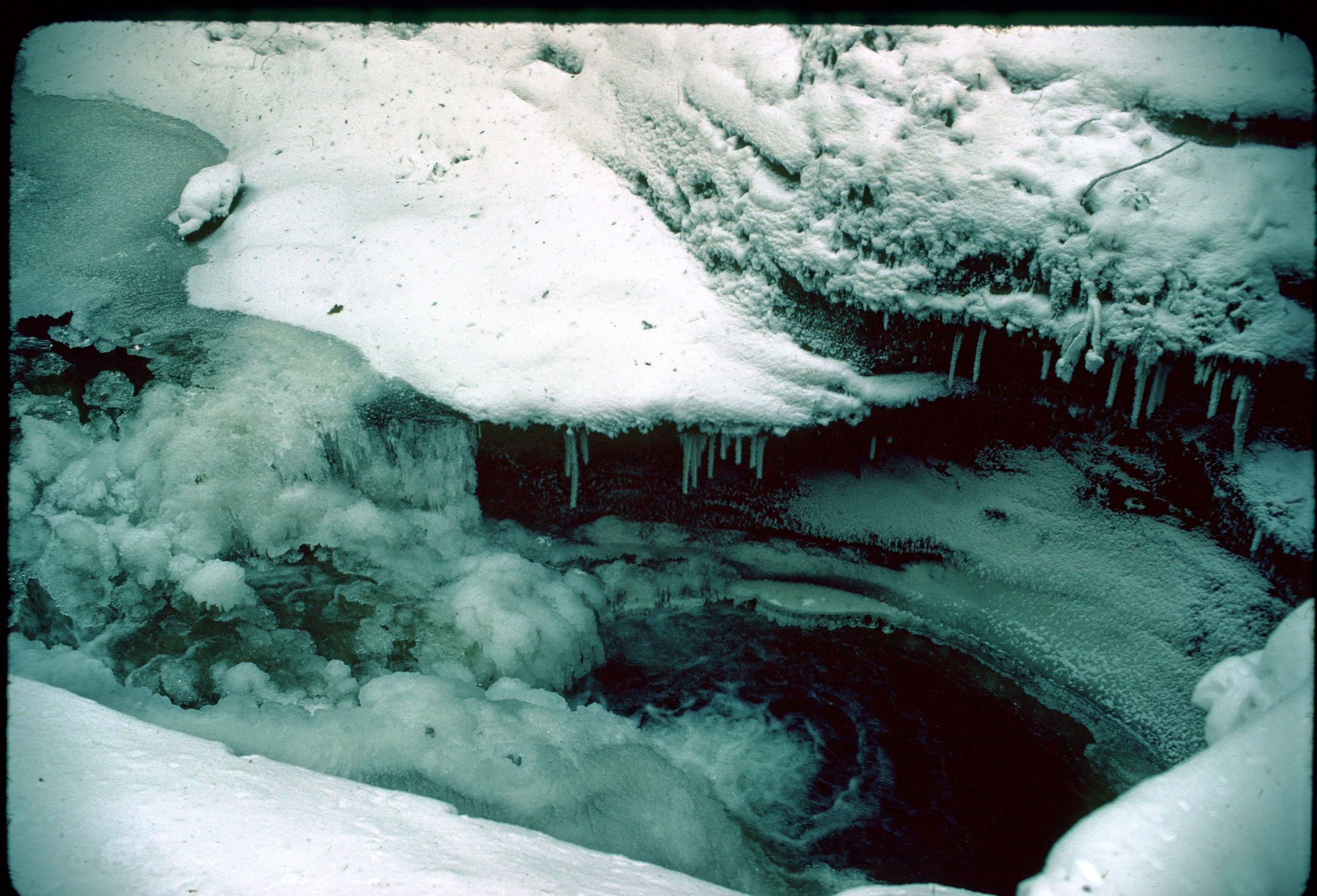
The Devil's Bathtub is a pothole developed downstream from the Upper Falls by the swirling action of Old Man's Creek at Hocking Hills State Park, Hocking County, Ohio. Pebbles and sand are spun around in one spot, gradually boring a hole downward into the rock. The Devil's Bathtub and the narrow overhanging walls of the stream channel just below it are formed in a resistant layer in the middle zone of the Black Hand Member. The photograph was taken by Michael C. Hansen in January 1978.
Information taken from The Geology of Hocking State Park by John F. Hall (Ohio Geological Survey, Information Circular No. 8, 1953) and Geology of the South Bloomingville Quadrangle, Hocking and Vinton Counties, By Richard M. DeLong (Ohio Geological Survey, Report of Investigations, No. 63, 1968) and Geology of the Hocking Hills State Park Region by Michael C. Hansen (Ohio Division of Geological Survey, Guidebook No. 4, 1975).
This slide image included in the USGS National Digital Catalog for NGGDPP Grant G15AP00115 in FY2015.Context
Pothole filled with water; surrounded by snow and overhanging rocks. Devil's Bathtub at Hocking Hills State Park.