Name/Title
S08.01.098Description
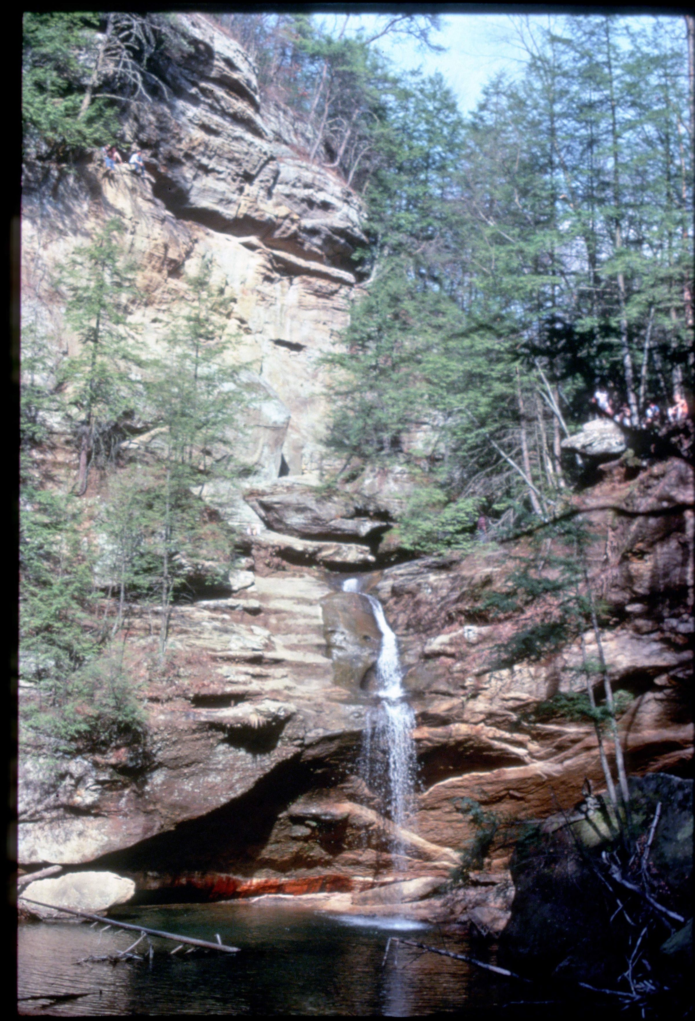
The Lower Falls at Hocking Hills State Park, Hocking County, Ohio. Downstream from Old Man's Cave, Old Man's Creek encounters the resistant lowermost zone of the Black Hand Sandstone and cascades into a broad plunge pool as a scenic waterfall known as the Lower Falls. A large rock shelter is developed behind the waterfall. At the base of the rock shelter the contact between the Fairfield Shale and the Black Hand Sandstone Members of the Cuyahoga Formation can be seen. Bedrock is from the Mississippian Geologic Period. This photograph was an entry in the 1983 Ohio Geology Slide Contest.
Information taken from The Geology of Hocking State Park by John F. Hall (Ohio Geological Survey, Information Circular No. 8, 1953) and Geology of the South Bloomingville Quadrangle, Hocking and Vinton Counties, By Richard M. DeLong (Ohio Geological Survey, Report of Investigations, No. 63, 1968) and Geology of the Hocking Hills State Park Region by Michael C. Hansen (Ohio Division of Geological Survey, Guidebook No. 4, 1975).
This slide image included in the USGS National Digital Catalog for NGGDPP Grant G15AP00115 in FY2015.Context
Long-distance view of waterfall. Lower Falls at Hocking Hills State Park.