Name/Title
S08.01.129Description
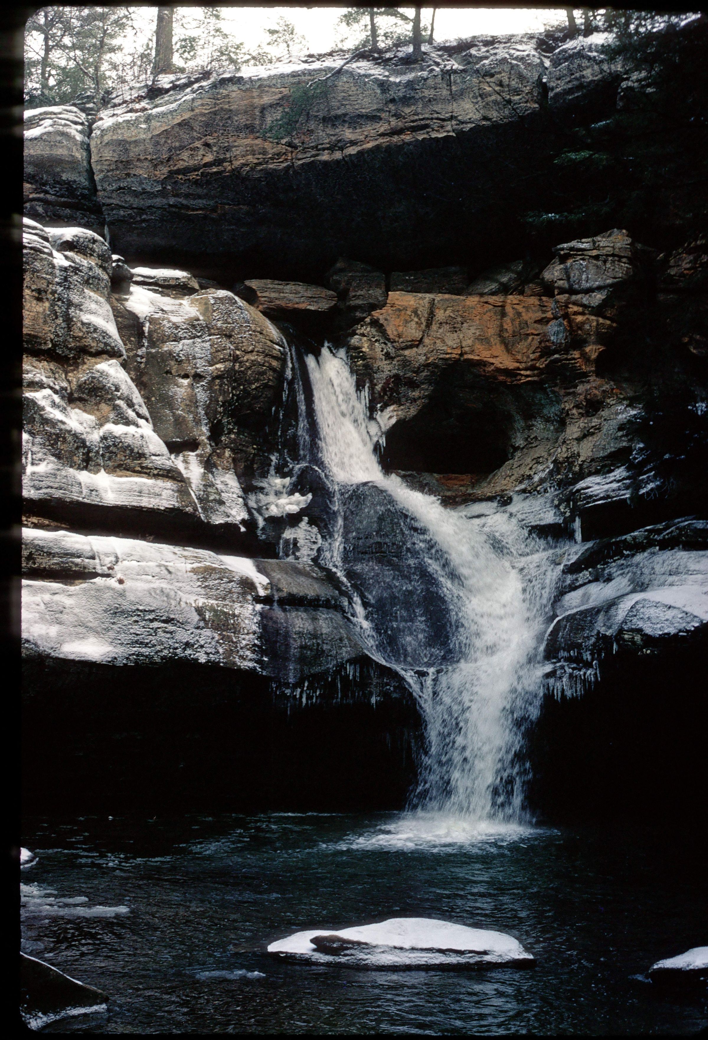
Trails leading through the Lower Gorge come to Queer Creek and eventually to Cedar Falls at Hocking Hills State Park, Hocking County, Ohio. Cedar Falls is a semi-circular cliff over which Cedar Creek flows to form a waterfall, 50 feet in height. Behind the falls is a small recess cave formed by the sapping action of the plunge pool. The face of the waterfall is crossed by two deep grooves, formed by the abrasive action of small sand particles, through which the water flows. The rim of Cedar Falls is composed of the hard, massive upper layer of the Black Hand Sandstone. Two joint fractures are readily visible in the upper zone caprock in this picture. The plunge pool, recess cave, and gorge are all cut into the less resistant middle zone. Below the falls, Cedar Creek joins with Queer Creek to form a deeply wooded gorge with large slump blocks. Bedrock is from the Mississippian Geologic Period. This photograph was taken by Michael C. Hansen in January 1974.
Information taken from The Geology of Hocking State Park by John F. Hall (Ohio Geological Survey, Information Circular No. 8, 1953) and Geology of the South Bloomingville Quadrangle, Hocking and Vinton Counties, By Richard M. DeLong (Ohio Geological Survey, Report of Investigations, No. 63, 1968) and Geology of the Hocking Hills State Park Region by Michael C. Hansen (Ohio Division of Geological Survey, Guidebook No. 4, 1975).
This slide image included in the USGS National Digital Catalog for NGGDPP Grant G15AP00115 in FY2015.Context
Waterfall spilling into creek; small, flat boulder in foreground. Cedar Falls at Hocking Hills State Park.