Name/Title
S11.19.039Description
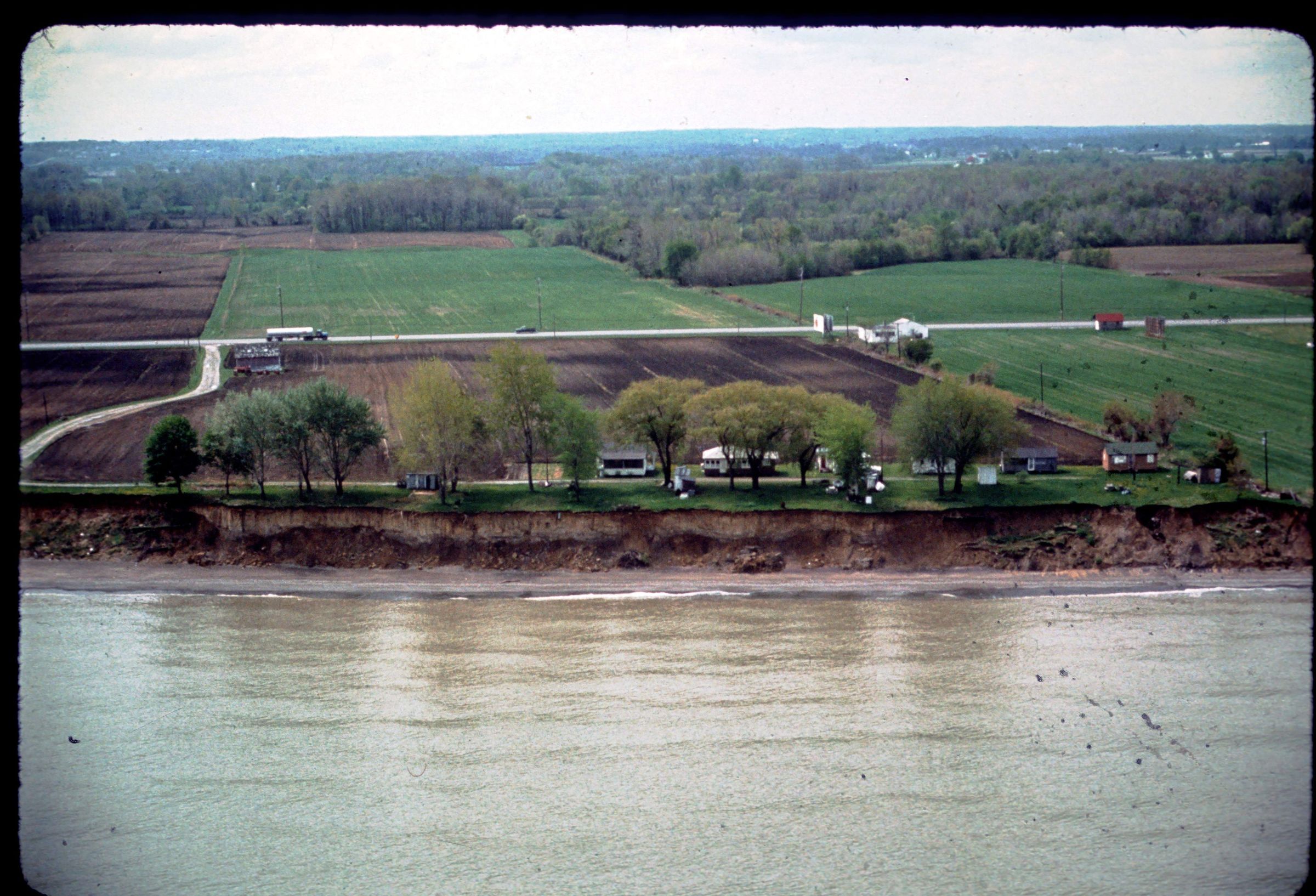
An aerial view of Lake Erie bluffs east of Oberlin Beach in Erie County, Ohio. The lower part of the bluff is composed of glaciolacustrine silt and clay on till. This site is one of the few locations where laminated glaciolacustrine sediment is well exposed along the shoreline. It is also the site of the Oberlin Beach recession rate study. The image was taken on April 26, 1977.
REVIEW
Donald E. Guy provided a detailed map attachment of where the shore collection site was located at Oberlin Beach in an e-mail to Lisa F. Long on 8 July 2016.
This slide image included in the USGS National Digital Catalog for NGGDPP Grant G15AP00115 in FY2015.Context
Aerial view of steep cliff banks along beach shoreline. Oberlin Beach in Erie County, Ohio.