Name/Title
S11.19.040Description
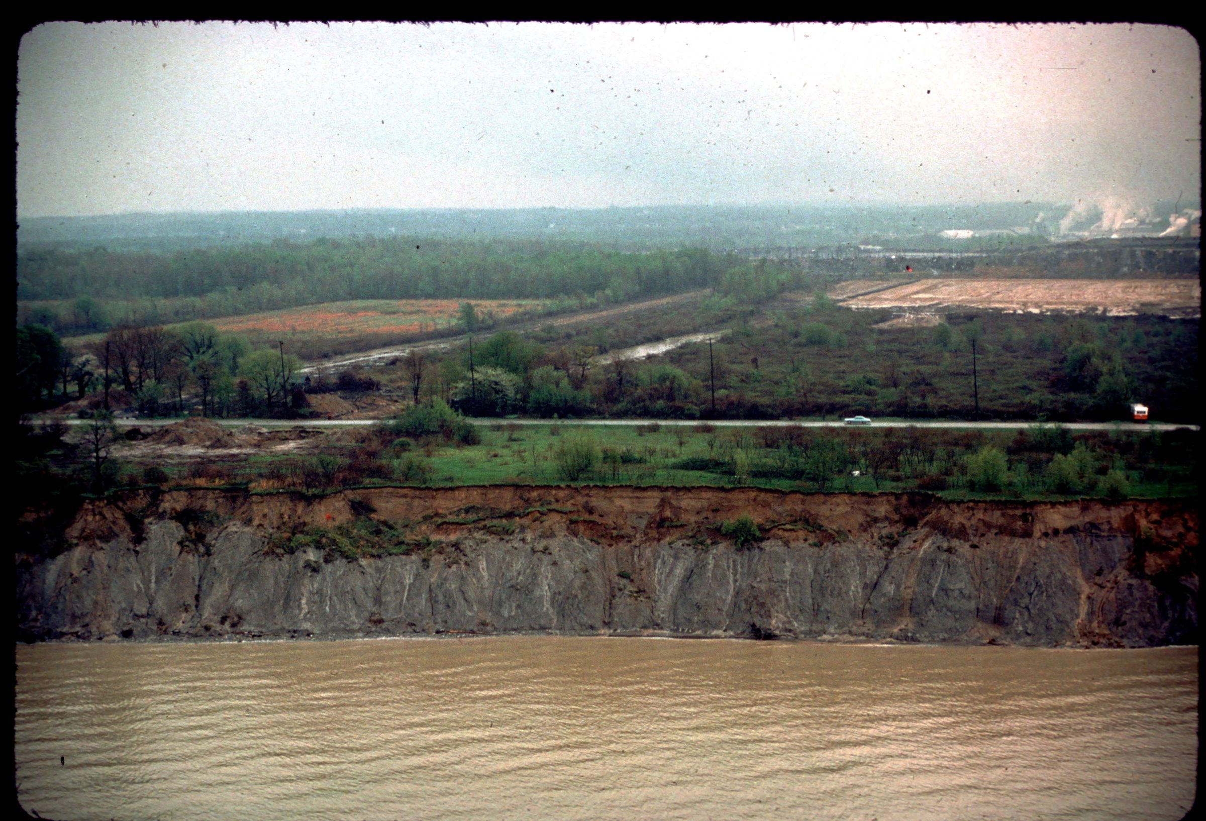
An aerial view of Lake Erie shore erosion. The image was taken from over the water, looking back at the coast between Ashtabula and La Bounty Road in Ashtabula County, Ohio. The image was taken on April 26, 1977.
REVIEW
This slide image included in the USGS National Digital Catalog for NGGDPP Grant G15AP00115 in FY2015.Context
Aerial view of shoreline erosion. Lake Erie up by Ashtabula, Ohio.