Name/Title
S17.08.027Description
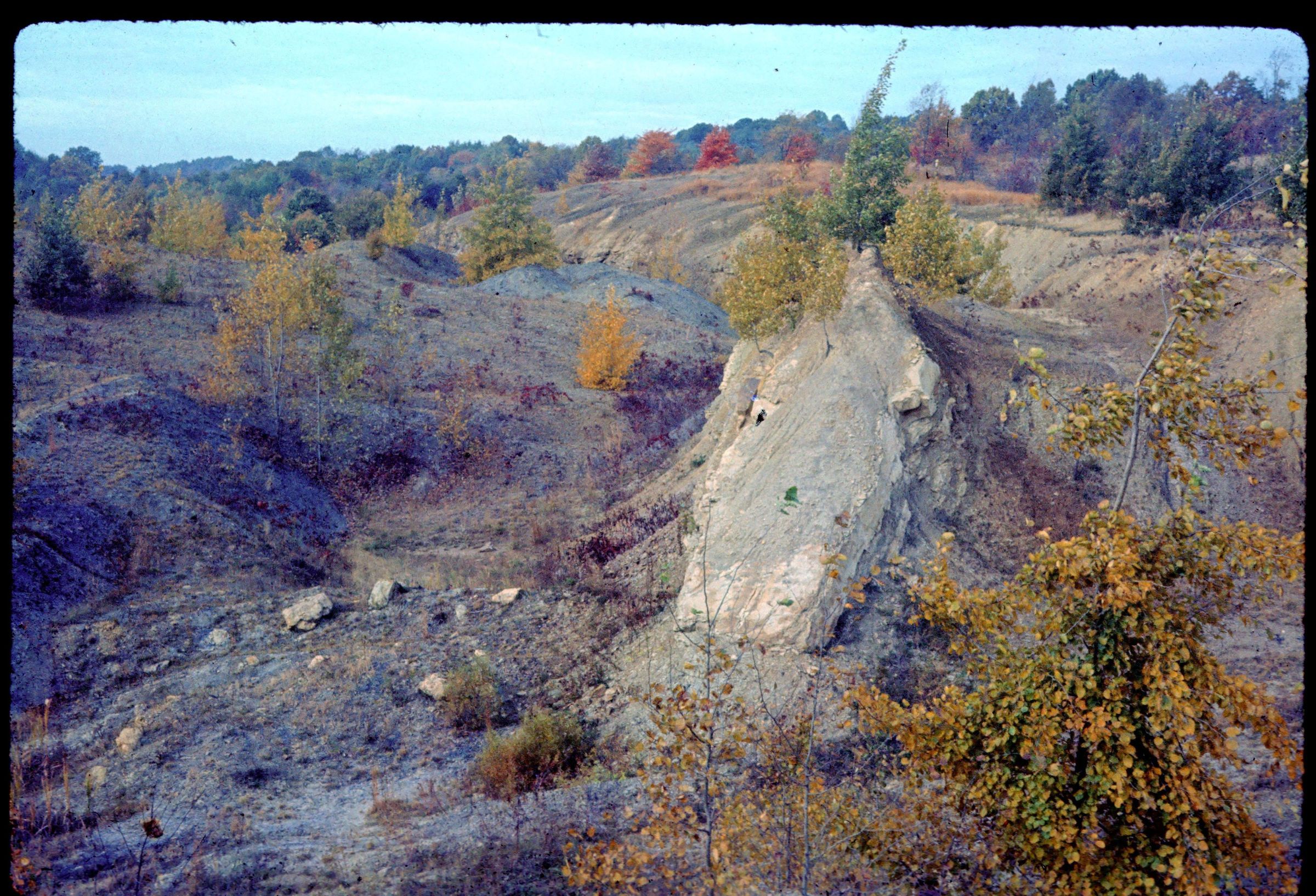
A strip mine for the Lower Kittaning (No. 5) coal in Osnaburg Township, Stark County, Ohio. The stripping operation located on the south side of a hill in the center of survey section 21 in the township. The mine floor was covered with water and talus was against the highwall. The photograph was taken at the location of Measured Stratigraphic Section File Number 13468, measured by Richard M. DeLong, Russell A. Brant, and Joseph A. Granachi on October 1, 1959.
REVIEW
This slide image included in the USGS National Digital Catalog for NGGDPP Grant G15AP00115 in FY2015.Context
Open pit mine with rock outcrop on the right. Stark County, Ohio.