Name/Title
S22.04.012Description
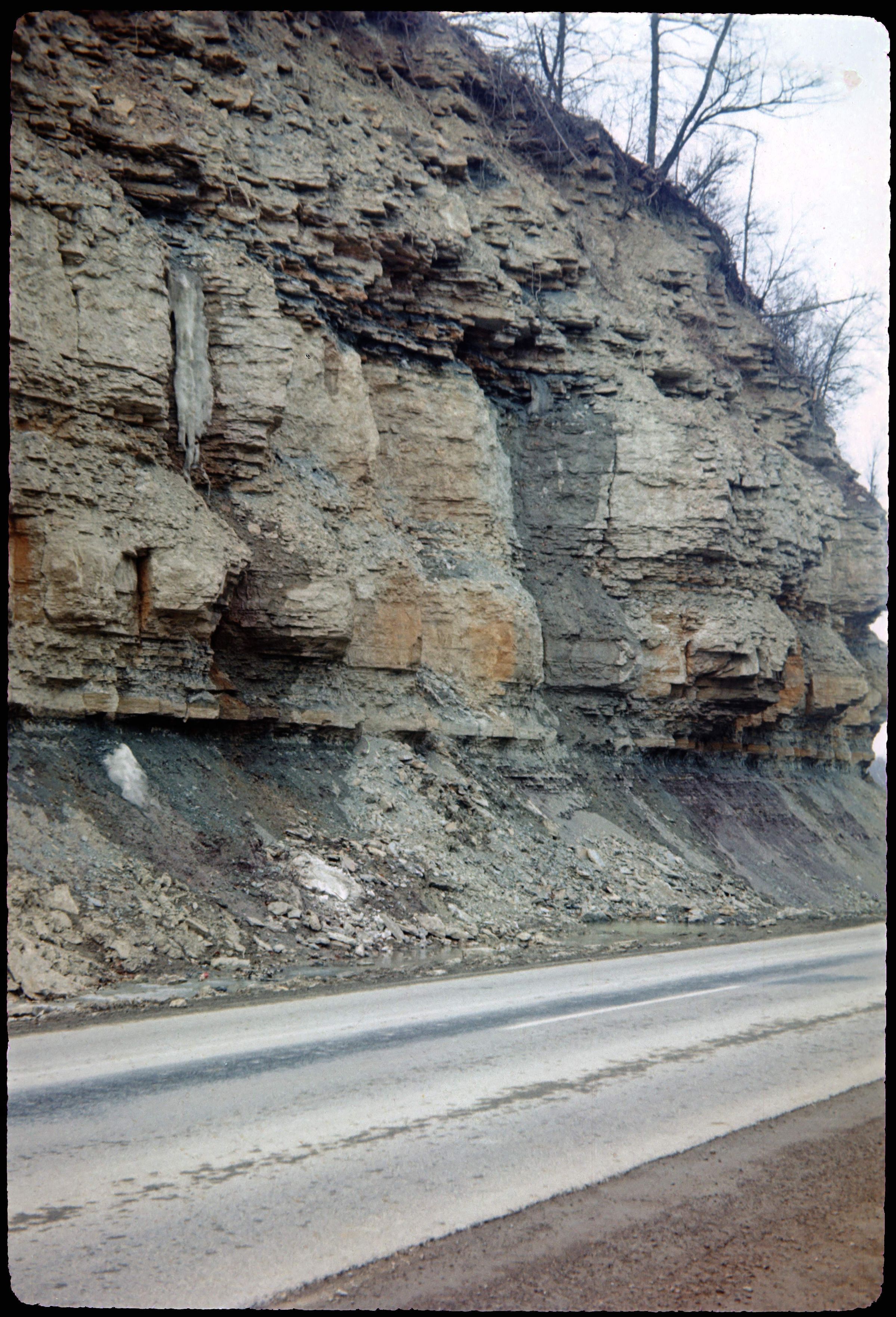
Outcrop in Oliver Township, Adams County, Ohio, on State Route 41 at Ohio Brush Creek. The location of the feature is ¼ mile southwest of Jacksonville, Ohio. Unit lithology in this area is interbedded shale and dolomite. Bedrock shows the contact between the Ordovician and Silurian Geologic Periods. The photograph was taken in 1968.
This slide image included in the USGS National Digital Catalog for NGGDPP Grant G15AP00115 in FY2015.Context
Rock outcrop along highway. On State Route 41 at Ohio Brush Creek; Adams County, Ohio.