Name/Title
S23.05.027Description
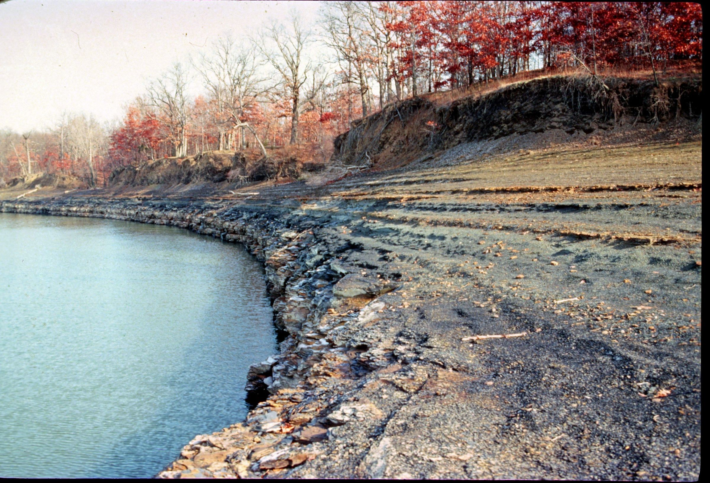
An outcrop on the east side of Hoover Reservoir at the Franklin County and Delaware County boundary line. Water in the reservoir was lowered 25 feet exposing the contact of the Ohio Shale and the Bedford Shale. Unit lithology in this area is sandstone, siltstone, and shale. Bedrock is from the Devonian Geologic Period. Michael C. Hansen took this photograph in 1982.
This slide image included in the USGS National Digital Catalog for NGGDPP Grant G15AP00115 in FY2015.Context
Flat outcrop lining the lake. Hoover Reservoir at the Franklin County and Delaware County boundary line in Ohio.