Name/Title
S26.02.034Description
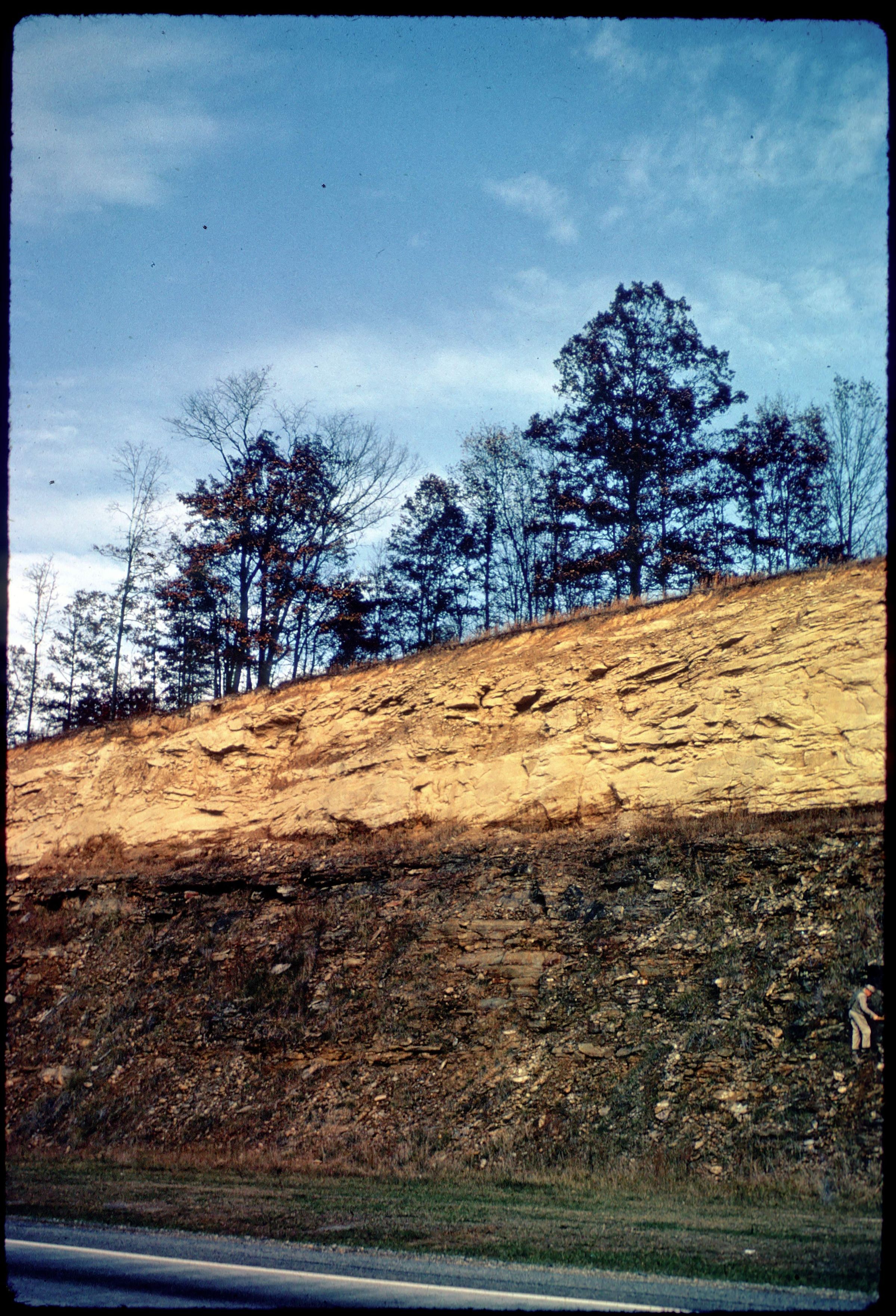
An outcrop at the road cut for United States Highway 35 in Jackson County, Ohio. The outcrop shows contact between the Byer Member of the Logan Formation and the Pottsville Group Sharon sandstone/conglomerate. This area has shale, siltstone, sandstone, conglomerate, limestone, coal, clay and flint lithologies. Bedrock is from the Mississippian and Pennsylvanian Geologic Periods. The photograph was taken by Pauline Smyth during the Geological Society of America field trip through eastern Ohio on October 31, 1961, at the general location of Measured Stratigraphic Section File Number 15064.
The following information concerning the United States Highway 35 road cut is taken verbatim from pages 178, 179 and 205 for Stop Number 17 on Field Trip 4: Pennsylvanian Geology of Eastern Ohio in Guidebook for Field Trips, Cincinnati Meeting, 1961/ by Geological Society of America, New York : Geological Society of America (Guidebook Series), 1961. The basal Pennsylvanian Sharon conglomerate is well exposed about 27 feet above the base of the road cut. The Sharon rests unconformably on the Mississippian Byer member of the Logan formation. In the valley just to the southeast of this contact, the Sharon conglomerate goes to below stream level. The relief on the Mississippian surface, in this area, averages from 45 to 60 feet and occasionally reaches 120 feet. The Sharon member has been rather extensively worked, in this area, for industrial uses.
This slide image included in the USGS National Digital Catalog for NGGDPP Grant G15AP00115 in FY2015.Context
Rock outcrop along the highway; trees seen at the top of outcrop. Jackson County, Ohio.