Name/Title
S26.03.012Description
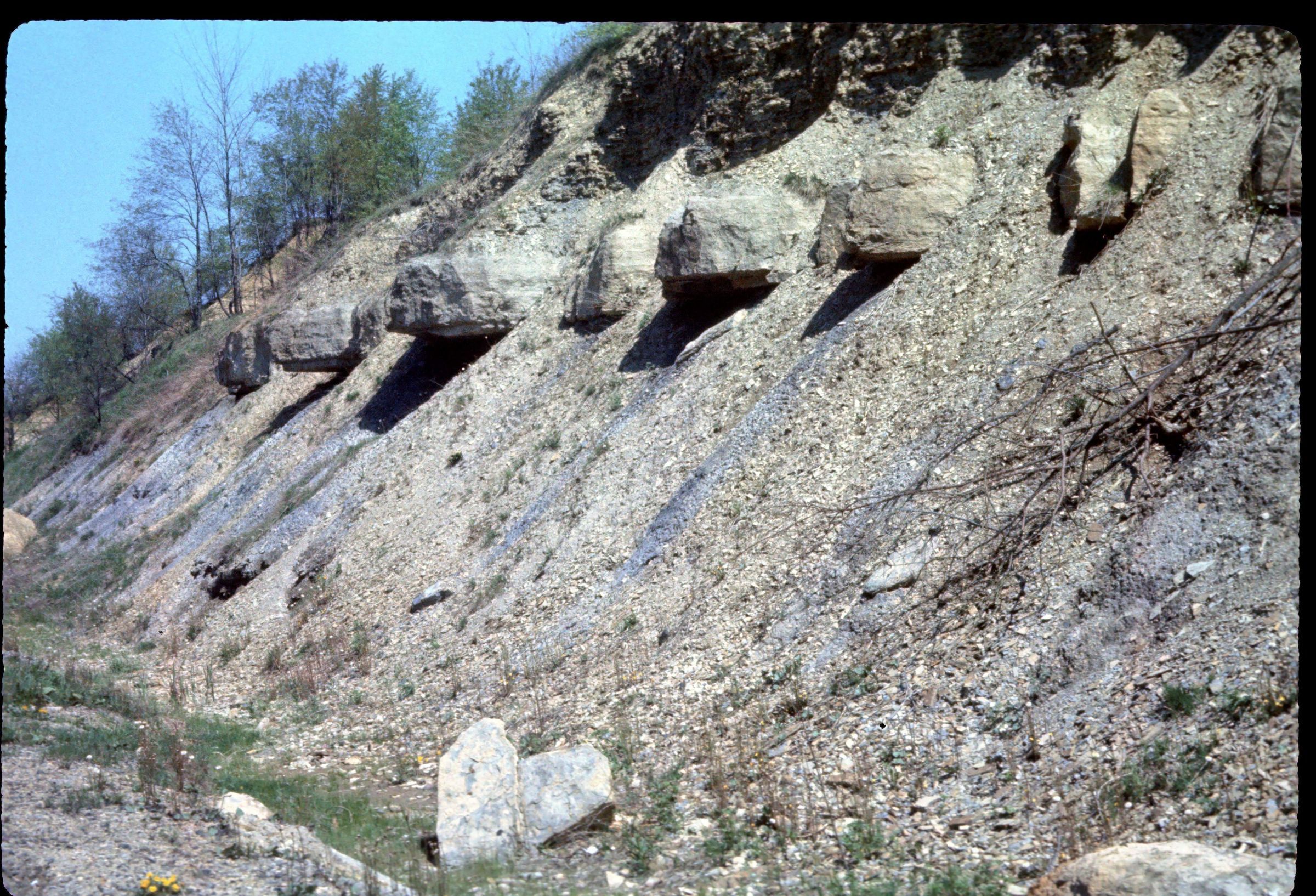
Field work documenting an outcrop of the Upper Mercer limestone of the Pottsville Group. This image is of the work done for Measured Stratigraphic Section File Number 11417 for outcrop along the railroad cut for the Wheeling and Lake Erie Railway Company track 2 miles south of Navarre, Bethlehem Township, Stark County, Ohio. This area has shale, siltstone, sandstone, conglomerate, limestone, coal, clay and flint lithologies. Bedrock is from the Pennsylvanian Geologic Period. The outcrop was measured by Henry Gray on July 6, 1951.
This slide image included in the USGS National Digital Catalog for NGGDPP Grant G15AP00115 in FY2015.Context
Limestone outcrop with limestone pebbles in it. Along railroad cut for the Wheeling and Lake Erie Railway Company and 2 miles south of Navarre; Stark County, Ohio.