Name/Title
S26.03.013Description
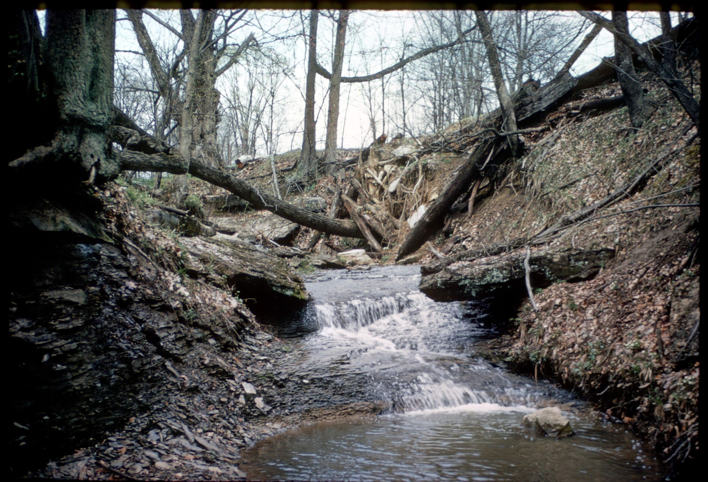
Outcrop of the Lower Mercer limestone and underlying shales of the Pottsville Group in Opossum Run, Coshocton County, Ohio. This area has shale, siltstone, sandstone, conglomerate, limestone, coal, clay and flint lithologies. Bedrock is from the Pennsylvanian Geologic Period. The photograph was taken by Pauline Smyth on April 26, 1952.
This slide image included in the USGS National Digital Catalog for NGGDPP Grant G15AP00115 in FY2015.Context
Stream with underwater shale. Opossum Run in Coshocton County, Ohio.