Name/Title
S26.03.041Description
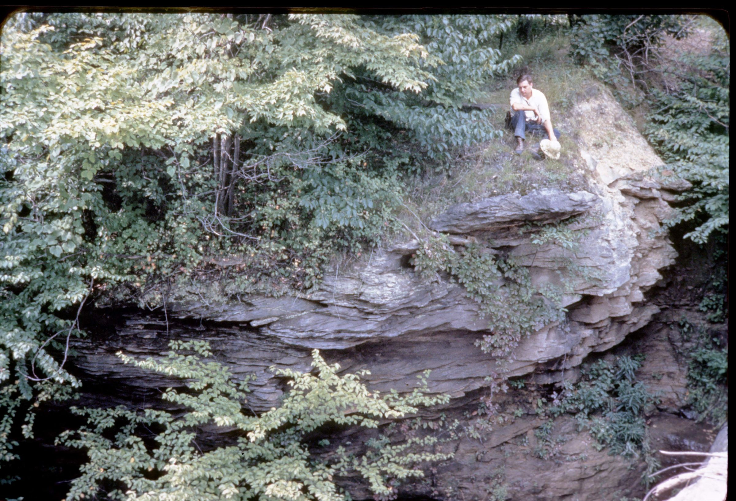
An outcrop of the Pottsville Group-Sharon sandstone/conglomerate west of Hartville, Stark County, Ohio. Bedrock is from the Pennsylvanian Geologic Period. This area has shale, siltstone, sandstone and conglomerate lithologies. The photograph shows James Osborn Fuller at the cliff edge and was taken by Myron T. Sturgeon in 1942.
Location approximate to west of Hartville, Ohio.
This slide image included in the USGS National Digital Catalog for NGGDPP Grant G15AP00115 in FY2015.Context
Limestone outcrop in forest; man sitting on top. West of Hartville in Stark County, Ohio.