Name/Title
S26.04.081Description
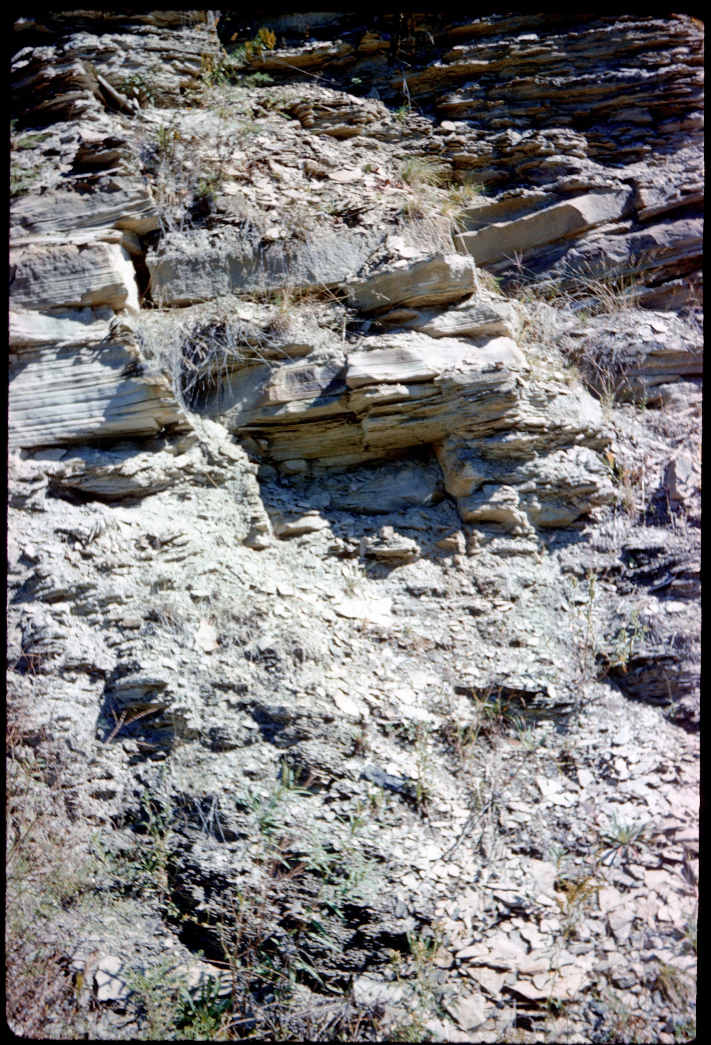
An outcrop showing the typical sandstone between Middle Kittanning (No. 6) coal and the Lower Freeport (No. 6a) coal of the Allegheny Group in Paris Township, Stark County, Ohio. The photograph was taken at the location of Measured Stratigraphic Section File Number 14910, measured by Richard M. DeLong and Joseph Granchi on May 28, 1959. This area has shale, siltstone, sandstone, conglomerate, limestone, coal, clay and flint lithologies. Bedrock is from the Pennsylvanian Geologic Period. The image is from 1961.
This slide image included in the USGS National Digital Catalog for NGGDPP Grant G15AP00115 in FY2015.Context
Closeup of layered sandstone outcrop. Stark County, Ohio.