Name/Title
S26.08.009Description
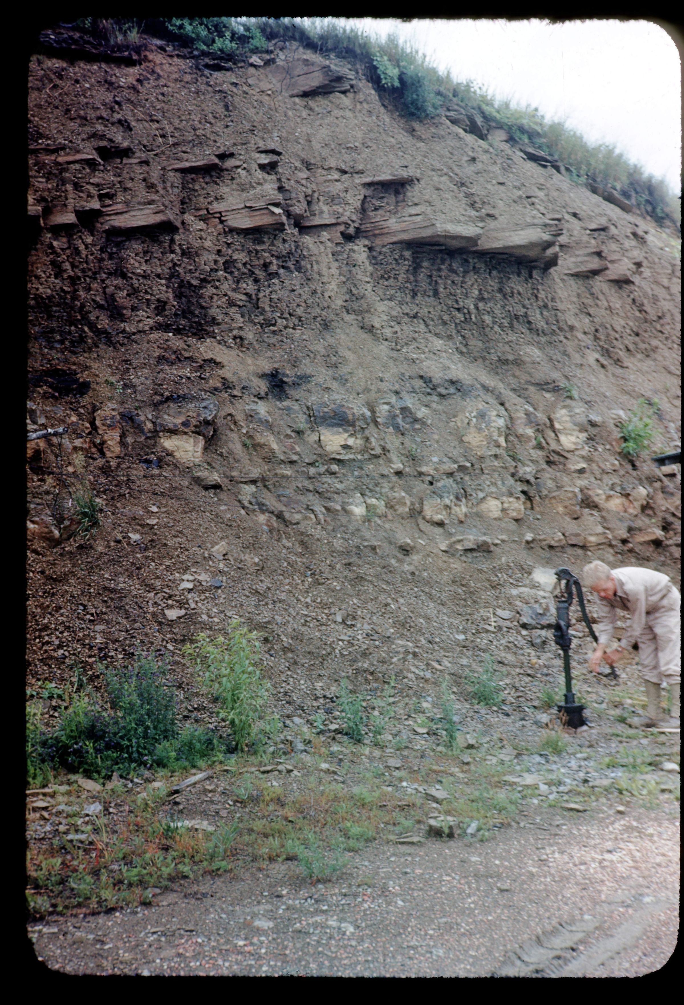
An outcrop of the Dunkard Group limestone along United States Highway 40 east of St. Clairsville, Belmont County, Ohio. This area has shale, siltstone, mudstone, sandstone, limestone and coal lithologies. Bedrock is from the Late Pennsylvanian, Early Permian Geologic Period. The photograph was taken by Myron T. Sturgeon in June 1944.
Location approximate to Belmont County. In the future, consider checking with Ohio University's, Mahn Center Archives for the Dr. Myron T. Sturgeon unprocessed manuscript collection in the hopes that it contains a code for localities.
This slide image included in the USGS National Digital Catalog for NGGDPP Grant G15AP00115 in FY2015.Context
Woman pumping water well at the bottom of rock outcrop. Belmont County, Ohio.