Name/Title
S26.08.015Description
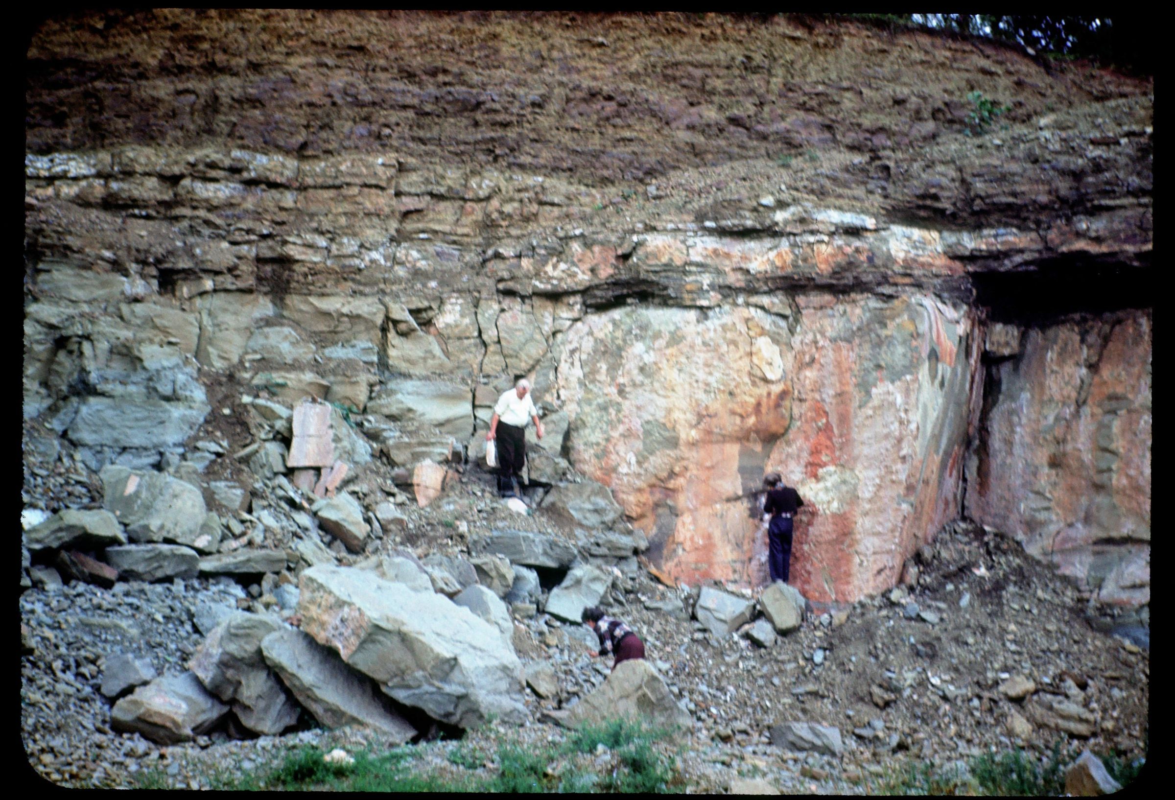
An outcrop with the Upper Marietta sandstone of the Dunkard Group at Clark Hill in Salem Township, Monroe County, Ohio. This area has shale, siltstone, mudstone, sandstone, limestone and coal lithologies. Bedrock is from the Late Pennsylvanian, Early Permian Geologic Period. The photograph was taken by John H. Melvin during the Special Field Conference on the Stratigraphy, Sedimentation and Nomenclature of the Upper Pennsylvanian and Lower Permian Strata (Monongahela, Washington and Greene Series) in the Northern Portion of the Dunkard Basin of Ohio, West Virginia and Pennsylvania on September 8, 1950. The detailed description for this stratigraphic section is Stop Number 13 (Section 9, detailed section on pages 54 through 62) of the field conference guidebook. The Measured Stratigraphic Section File Number 9982 includes a very detailed description. The section was measured on June 12, 1949 by Donald A. Buck and Aureal T. Cross. This is the most complete stratigraphic section for the Dunkard series in Ohio. It extends from the base of the Washington Formation to within 100 feet of the top of the Greene Formation in Ohio.
This slide image included in the USGS National Digital Catalog for NGGDPP Grant G15AP00115 in FY2015.Context
Rock outcrop in the woods; two people at the bottom of outcrop in the foreground. Clark Hill in Monroe County, Ohio.