Name/Title
S26.09.013Description
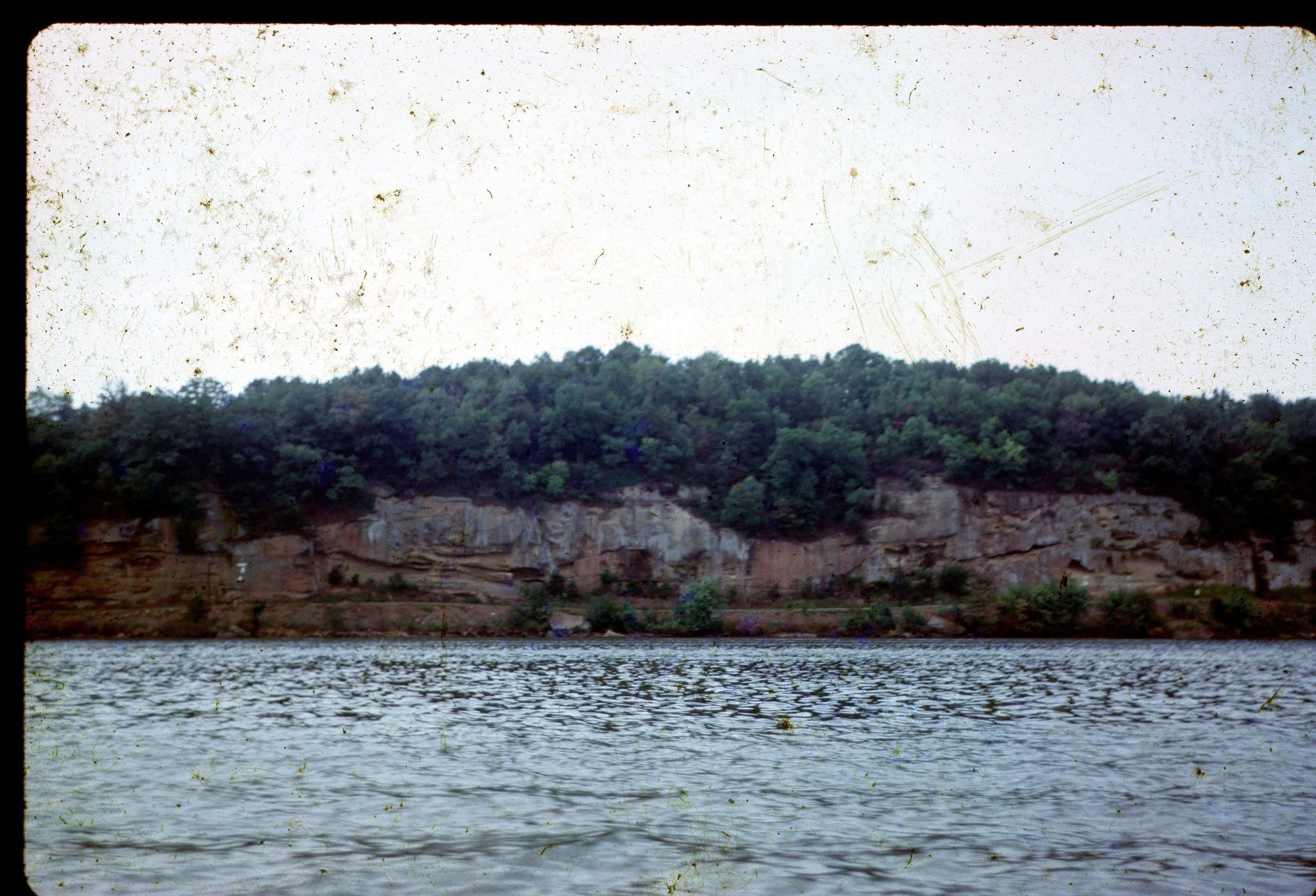
An outcrop of the Waynesburg sandstone of the Dunkard Group along the Ohio River north of Reedsville, Meigs County, Ohio. This area has shale, siltstone, mudstone, sandstone, limestone and coal lithologies. Bedrock is from the Late Pennsylvanian, Early Permian Geologic Period. The photograph was taken in 1970.
REVIEW
This picture might be related to the report found in Accession # 2016_008 Ohio Geology Subject Files, Box 1160, Folder 20, "Geologic Report on Landslip of Fugate Property, Reedsville, Ohio." This is only a guess based on year of the image and description in the report--comment from LFL in 2016.
This outcrop has a distinctive weathering appearance that can be seen in the following slides (for comparison). The locations are near to Reedsville/Hockingport, but metadata written on the slides can be interpreted differently. More research needed on S20.05.009.tif, S26.09.003.tif, S26.09.004.tif, S26.09.007.tif, S26.09.009.tif, S26.09.013.tif & S26.09.018.tif. Also see other outcrops in this series by searching for “Reedsville” in the Media Pro image management catalog.
In an e-mail exchange between Ronald F. Riser of ODOT District 10 and Lisa F. Long on 9 June 2016: Lisa, We believe the photos are both near the Meigs / Athens County line on now or former State Route 124. There are 2 locations which very closely resemble the rock outcrop the narrow bank between the Ohio River and State Route 124.
We believe the locations are or could be MEG State Route 124 – 66.45 (Milemarker –Now) Lat- 39.1736037, Long- -81.755824, or former ATH State Route 124 (Now Abandoned) Lat- 39.196389, Long- -81.736667.
The locations are approximate. Hope this helps.
Ron
Ronald F. Riser P.S
Survey Operations Manager
O.D.O.T. District 10
338 Muskingum Drive
Marietta, Ohio 45750
This slide image included in the USGS National Digital Catalog for NGGDPP Grant G15AP00115 in FY2015.Context
River view of layered sandstone near Reedsville, Meigs County, Ohio.