Name/Title
S28.02.001Description
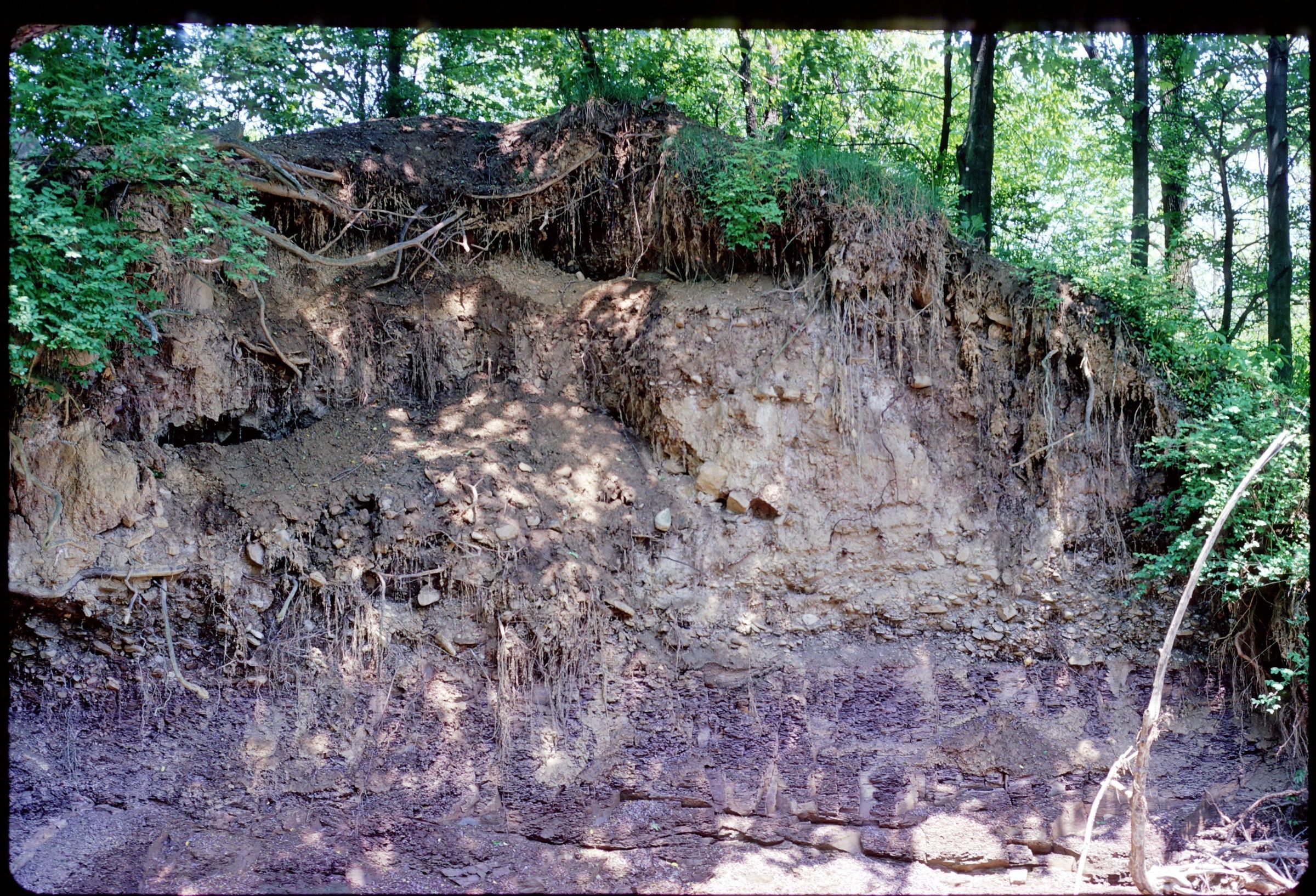
Bedford Shale underlain by Lockbourne Gravel and till on the bank of Rocky Fork Creek on the North side of Havens Corners Road in Gahanna, Franklin County, Ohio. The image was made by Michael C. Hansen in 1973.
REVIEW
This slide image included in the USGS National Digital Catalog for NGGDPP Grant G15AP00115 in FY2015.Context
Shale embankment underlain by gravel; shaded by trees; on the bank of Rocky Fork Creek in Gahanna, Ohio.