Name/Title
S28.05.023Description
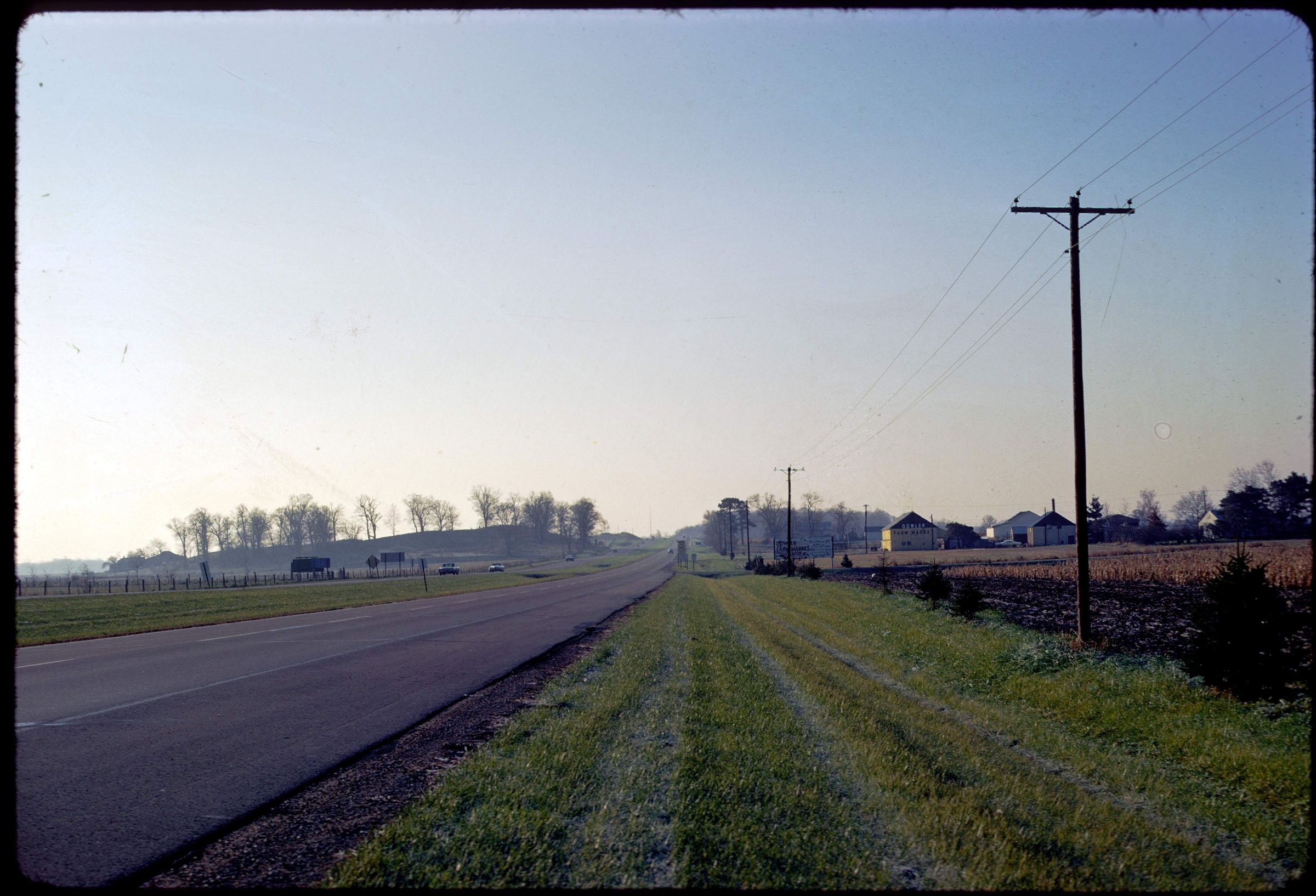
A segment of the Circleville Esker seen from United States Highway 23, a quarter mile south of South Bloomfield, Pickaway County, Ohio. The image was taken in 1972.
REVIEW
For more information, see: Guide to the Geology along U.S. Route 23 Between Columubus and Portsmouth by Michael C. Hansen (Ohio Department of Natural Resources, Division of Geological Survey, Educational Leaflet no. 11)
This slide image included in the USGS National Digital Catalog for NGGDPP Grant G15AP00115 in FY2015.Context
Side-of-the-highway view of Circleville gravel ridge. Taken in Pickaway County, Ohio.