Name/Title
S28.10.003Description
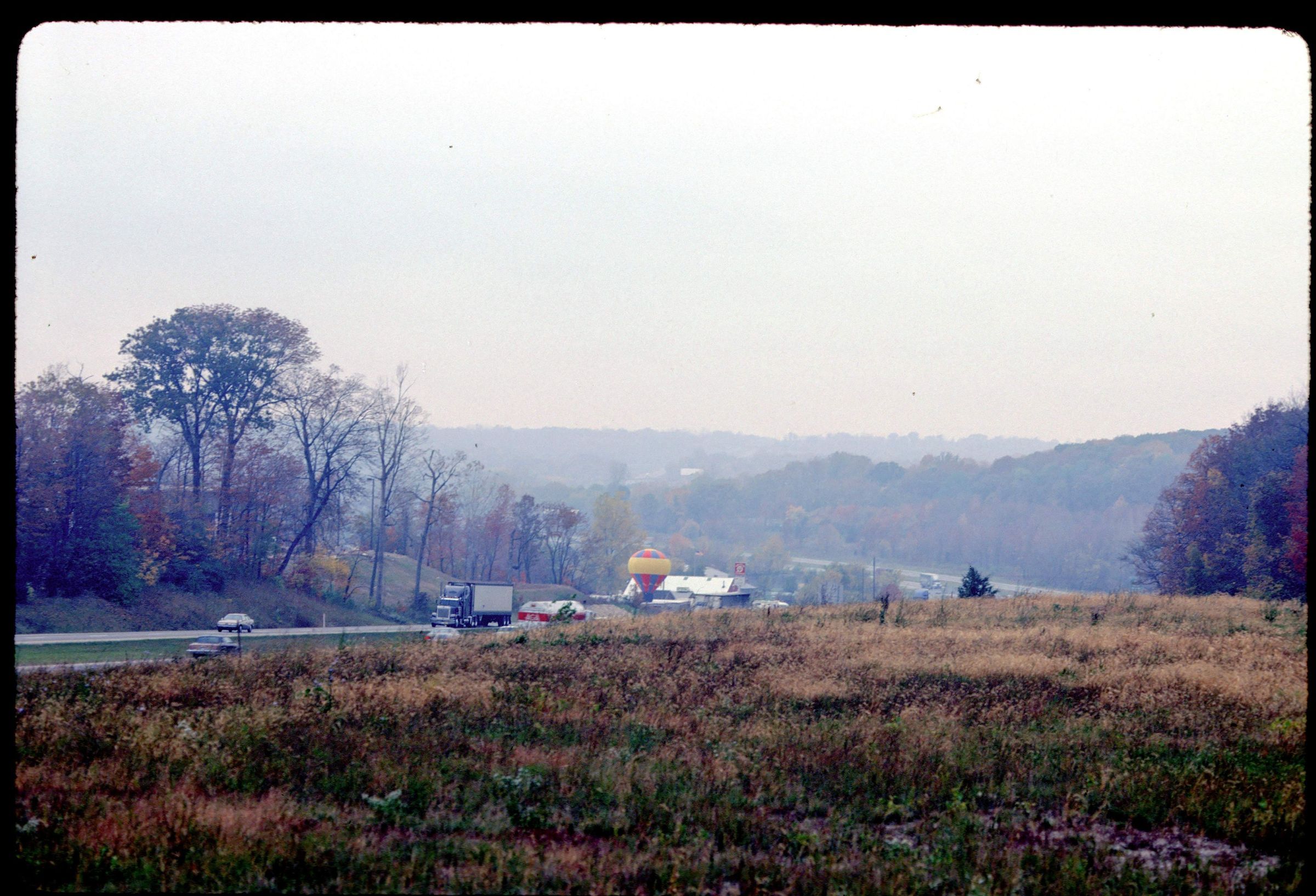
A view of the Miami River Valley taken near Interstate 70 at the intersection with Ohio State Route 202 at mile marker 36 near Dayton, Montgomery County, Ohio. . This area has well-exposed outcrops of dolomite. The Osgood Shale is overlain by Euphemia and Cedarville Dolomites. The image was made in 1989.
REVIEW
For more information, see: Guide to the Geology Along Interstate 70 by Dennis N. Hull (Division of Geological Survey, Education Leaflet no. 14, 1993)
This slide image included in the USGS National Digital Catalog for NGGDPP Grant G15AP00115 in FY2015.Context
View of the highway in the Miami River Valley. Pictured are cars and trucks on the highway. Taken near Dayton Ohio.