Name/Title
S28.10.004Description
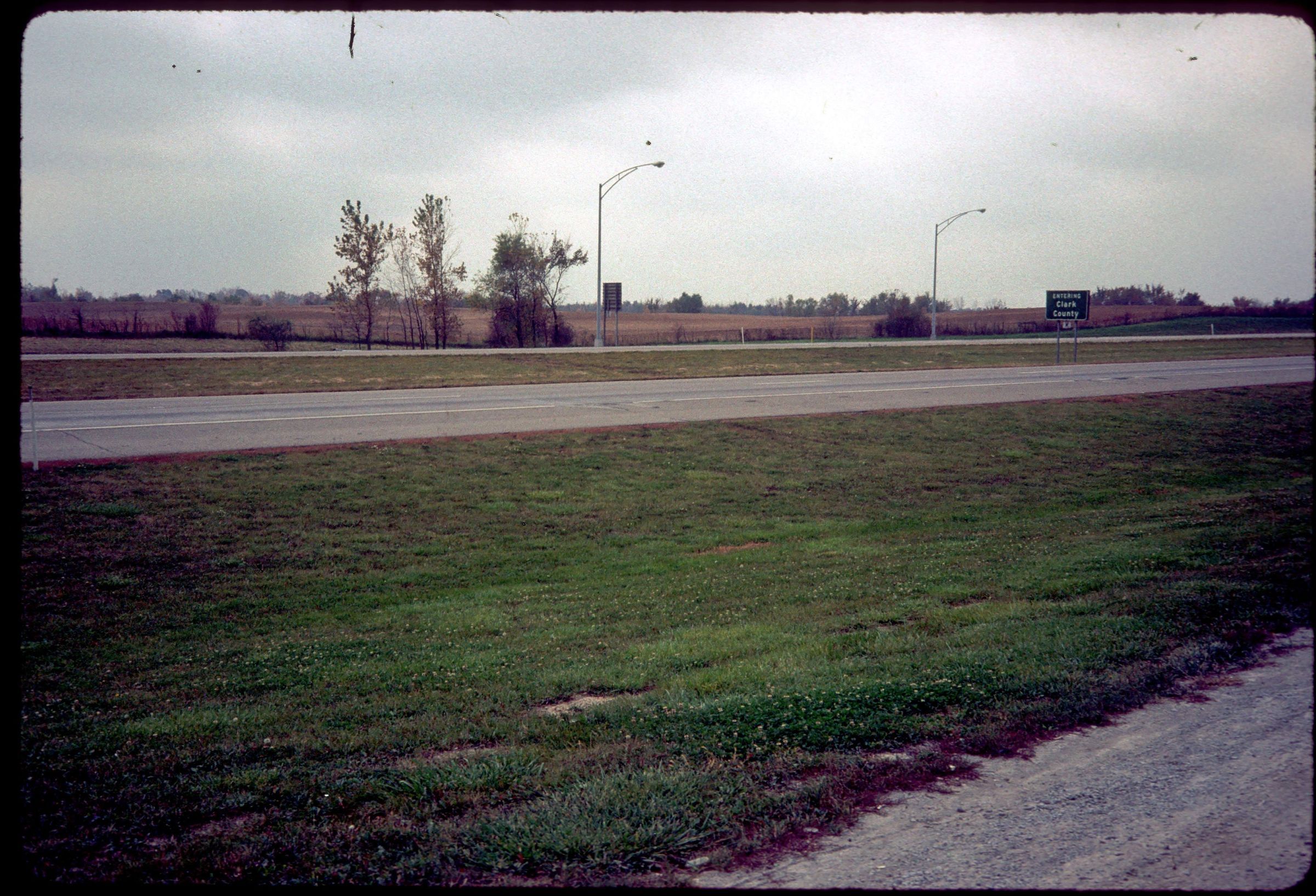
A view of the undulating topography of the London Moraine along Interstate 70 at mile marker 70 in Somerford Township, Madison County, Ohio. The London Moraine is a low-lying, crescent-shaped ridge that extends eastward to the Scioto River and markes the position of the ice front during a minor halt in the reteat of a glacier. The image was made in 1989.
REVIEW
For more information, see: Guide to the Geology Along Interstate 70 by Dennis N. Hull (Division of Geological Survey, Education Leaflet no. 14, 1993)
This slide image included in the USGS National Digital Catalog for NGGDPP Grant G15AP00115 in FY2015.Context
Highway passing by gravel path and 2 grass yards. Picture displays undulating topography of the London Moraine. Taken in Madison County, Ohio.