Name/Title
S28.10.005Description
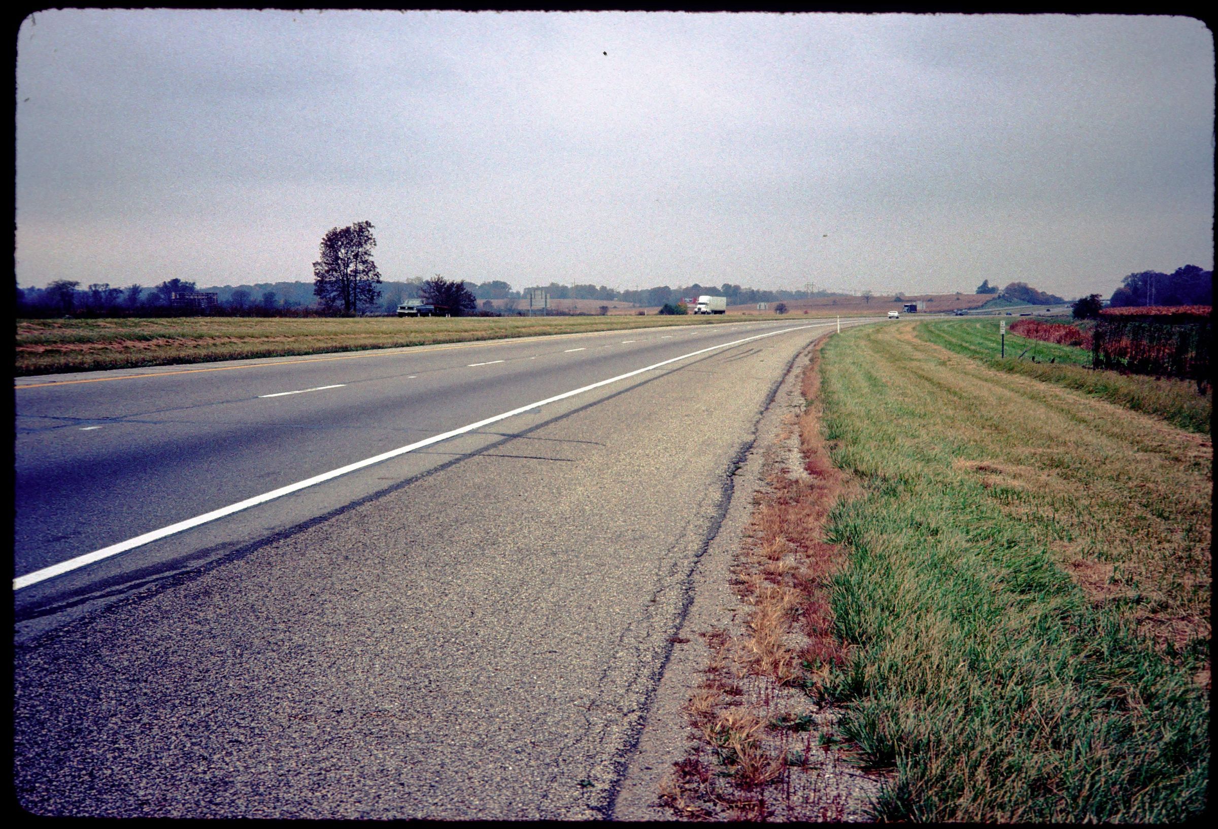
The Kennard Outwash Plain and its west valley wall at Interstate 70, mile marker 58, in Springfield Township, Clark County, Ohio. The Kennard Outwash Plain is a large deposit of level sand and gravel that is 20 miles long, up to 2 miles wide, and extends across all of Clark County and a portion of Champaign County. Outwash-plain deposits typically form in upland areas where glacial meltwater, choked with sand and gravel, flows between walls of glacial ice. The Kennard Outwash Plain formed along the junction of two great lobes of the most recent glacier, the Miami lobe on the west and the Scioto lobe on the east. The image was made in 1989.
REVIEW
For more information, see: Guide to the Geology Along Interstate 70 by Dennis N. Hull (Division of Geological Survey, Education Leaflet no. 14, 1993)
This slide image included in the USGS National Digital Catalog for NGGDPP Grant G15AP00115 in FY2015.Context
Highway headed through the country; looking on towards Kennard Outwash Plain. Taken at the west valley wall of Interstate 70 in Springfield, Ohio.