Name/Title
S28.10.006Description
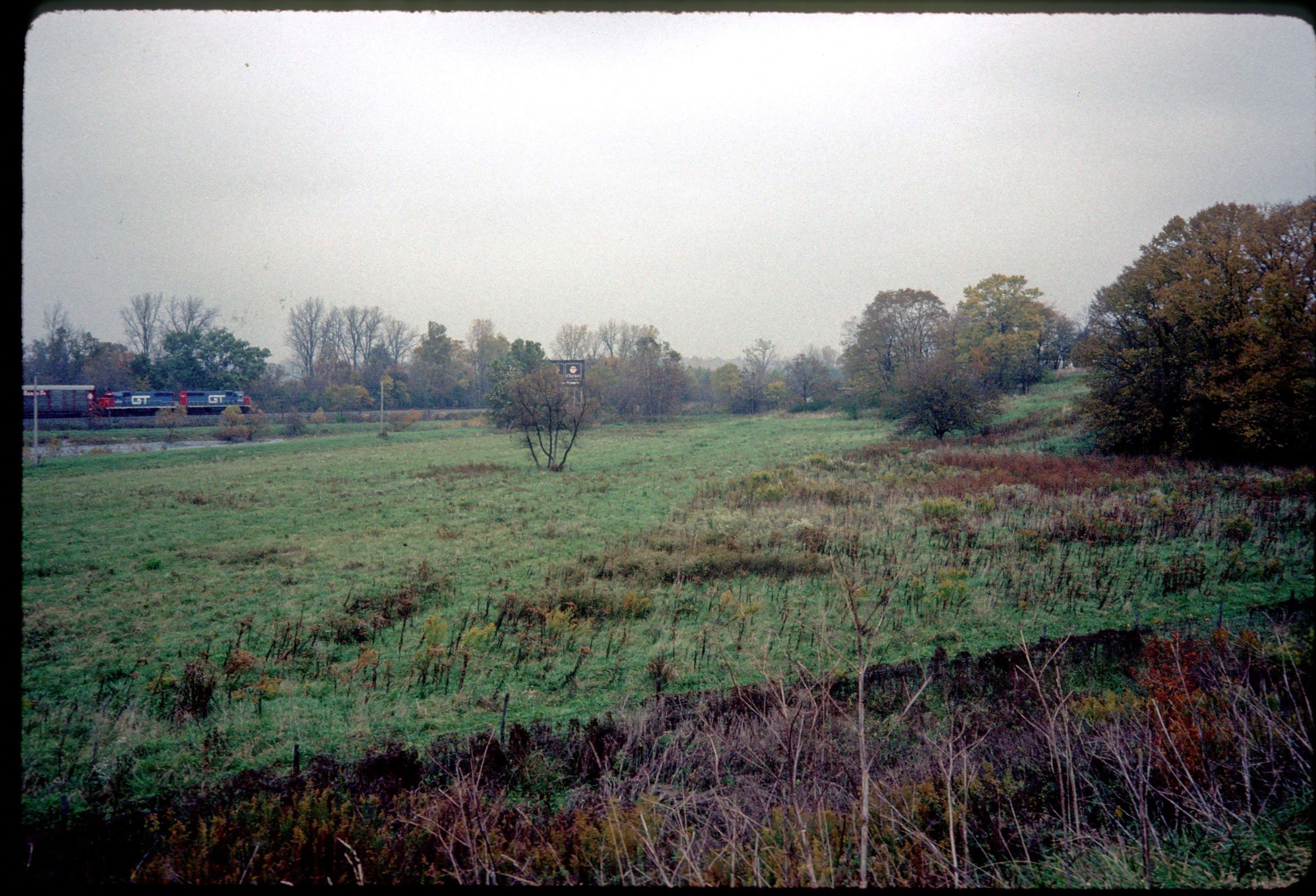
The Mad River outwash plain and part of the east valley wall of the Kennard Terrace along Interstate 70, mile marker 48 in Mad River Township, Clark County, Ohio. Interstate 70 descends onto the broad lowland of the Mad River valley at mile 40.7 and continues there until it leaves the valley floor at mile 48.3. When the Ice Age Mad River valley became free of ice, it served as a drainageway for the debris-choked meltwaters issuing from the northward-retreating glacier. Braided streams crisscrossed the valley floor and deposited thick layers of sand and gravel over 200 feet thick. This deposit is a type of outwash known as a valley train. The image was made by C. Scott Brockman in 1989.
REVIEW
For more information, see: Guide to the Geology Along Interstate 70 by Dennis N. Hull (Division of Geological Survey, Education Leaflet no. 14, 1993)
This slide image included in the USGS National Digital Catalog for NGGDPP Grant G15AP00115 in FY2015.Context
Grassy field of Mad River outwash plain; railroad tracks north of outwash plain; river on the left side looking towards the railroad tracks. Taken in Clark County, Ohio.