Name/Title
S28.10.012Description
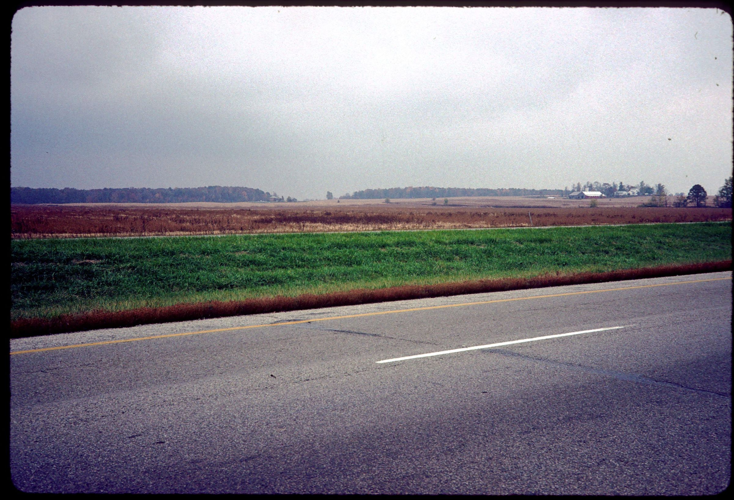
A view of the Camden Moraine along Interstate 70 at mile marker 4 in Jefferson Township, Preble County, Ohio. The Camden Moraine is a broad, low-lying ridge that trends northwest-southeast across the highway and marks the position where a receding Ice Age glacier remained stationary for a period of perhaps several hundred years. The view westward at mile marker 4 provides an excellent view of this end moraine rising above the nearly level ground moraine around it. Meltwater flowing from the front of the glacier scoured a drainage way through the moraine in order to reach the East Fork of the Whitewater River in Indiana. The image was made by C. Scott Brockman in 1989.
REVIEW
For more information, see: Guide to the Geology Along Interstate 70 by Dennis N. Hull (Division of Geological Survey, Education Leaflet no. 14, 1993)
This slide image included in the USGS National Digital Catalog for NGGDPP Grant G15AP00115 in FY2015.Context
View of the flat land of Camden Moraine along Interstate 70. Taken in Preble County, Ohio.