Travis Park [Stereoview]
Name/Title
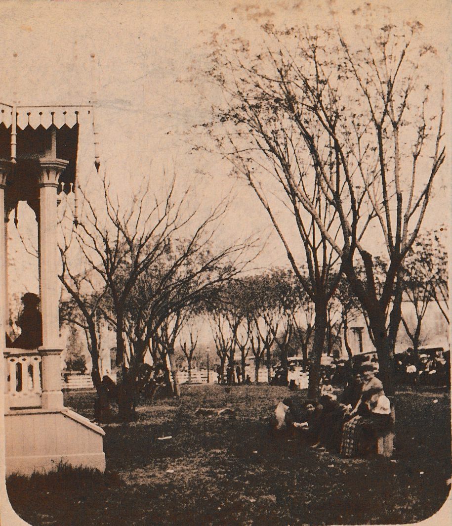
Travis Park [Stereoview]Description
Orange mount includes "F. HARDESTY. PHOTO." printed in black on left and "SAN ANTONIO, TEXAS" printed in black on the right. Frank Hardesty's San Antonio, TX, imprint on recto. Stamped on verso: "Setereoscopic Views, / of / San Antonio, Texas / F. Hardesty Photographer" Below that there is a chart that lists a variety of other locations that stereoscopes had been made by this company. Below the chart, stamped it reads: "All from Original Negatives and Guaranteed the Finest / ever Made in the South. Also A Large Variety of Miscellaneous Views / of San Antonio, and Vicinity." Below that reads, "Parties wishing Special Views made anywhere will please address:- / F. Hardesty / 32 North Flores Street. (near Military Plaza,) / San Antonio, Texas."Context
The area including Travis Park was once part of the upper farmlands of Mission San Antonio de Valero (today called the Alamo). After the mission was closed, the land was sold to Francisco Garcia in 1819, and in 1851 to Samuel Augustus Maverick, who lived at the northwest corner of Alamo Plaza and used this property for his orchard. After Maverick died in 1870, the land was deeded to the City, and an 1873 map calls the square Travis Plaza, named for Col. William Barrett Travis, commander of the Texan troops at the Alamo. By 1876, the City had planted grass, installed wooden painted benches, and soon enclosed the park with a white-washed fence. Concerts were held in a fancy, Victorian-style bandstand. The fence was removed in 1891 to improve access, and the bandstand, too expensive to repair, was torn down in 1937. All of this is pictured.Category
Religions, Texas in Focus: Early Photographs from the Lew Anvil Texas Collection
TSHA Categories