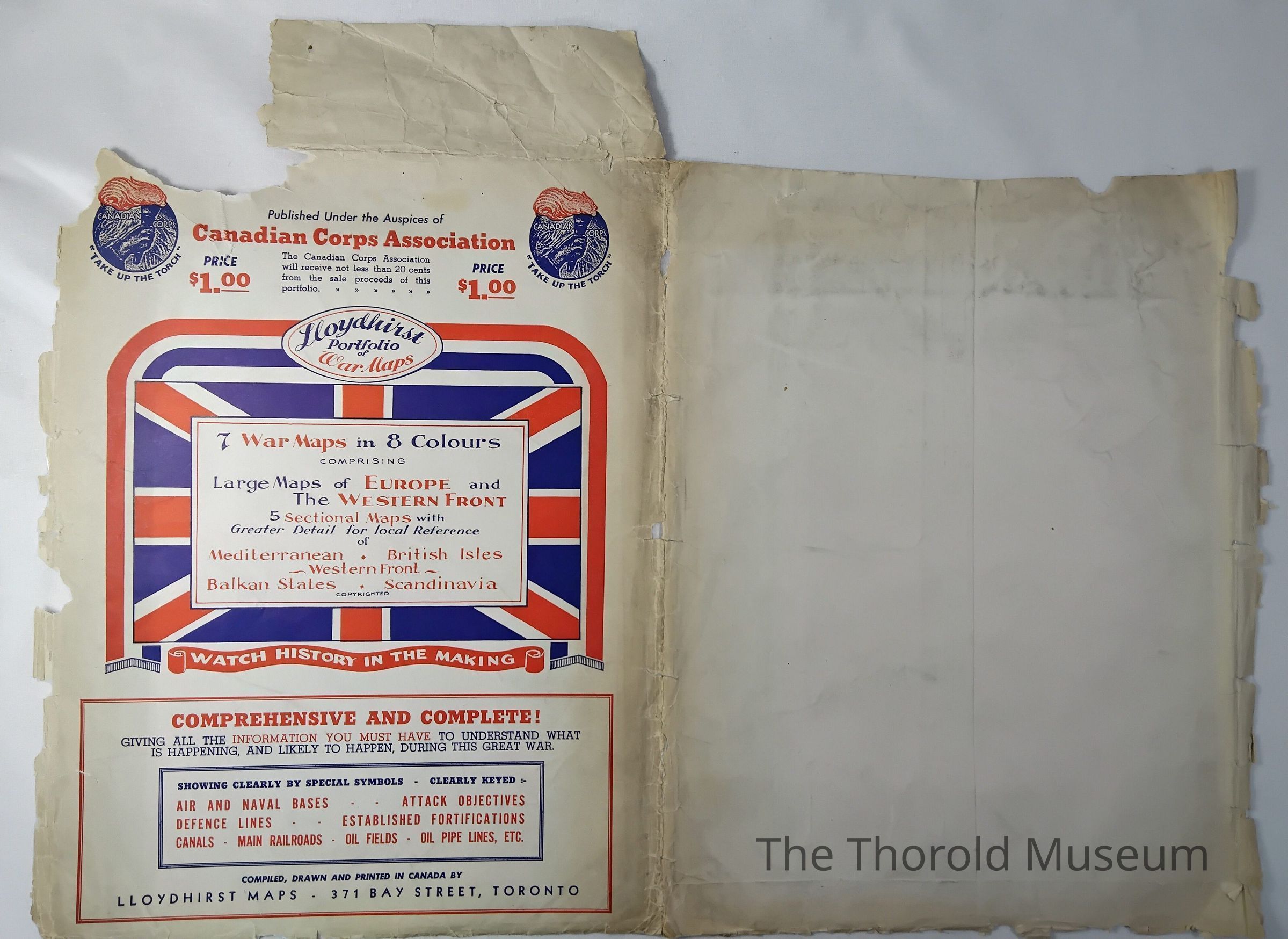
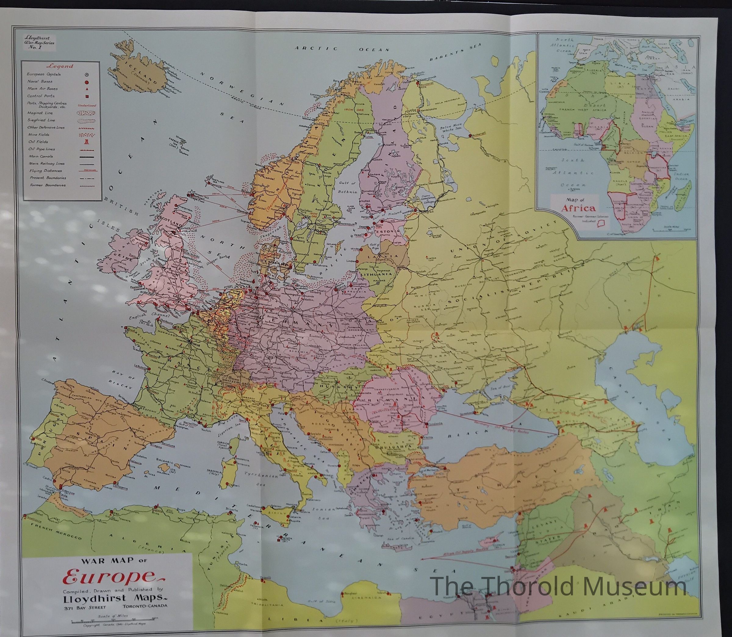
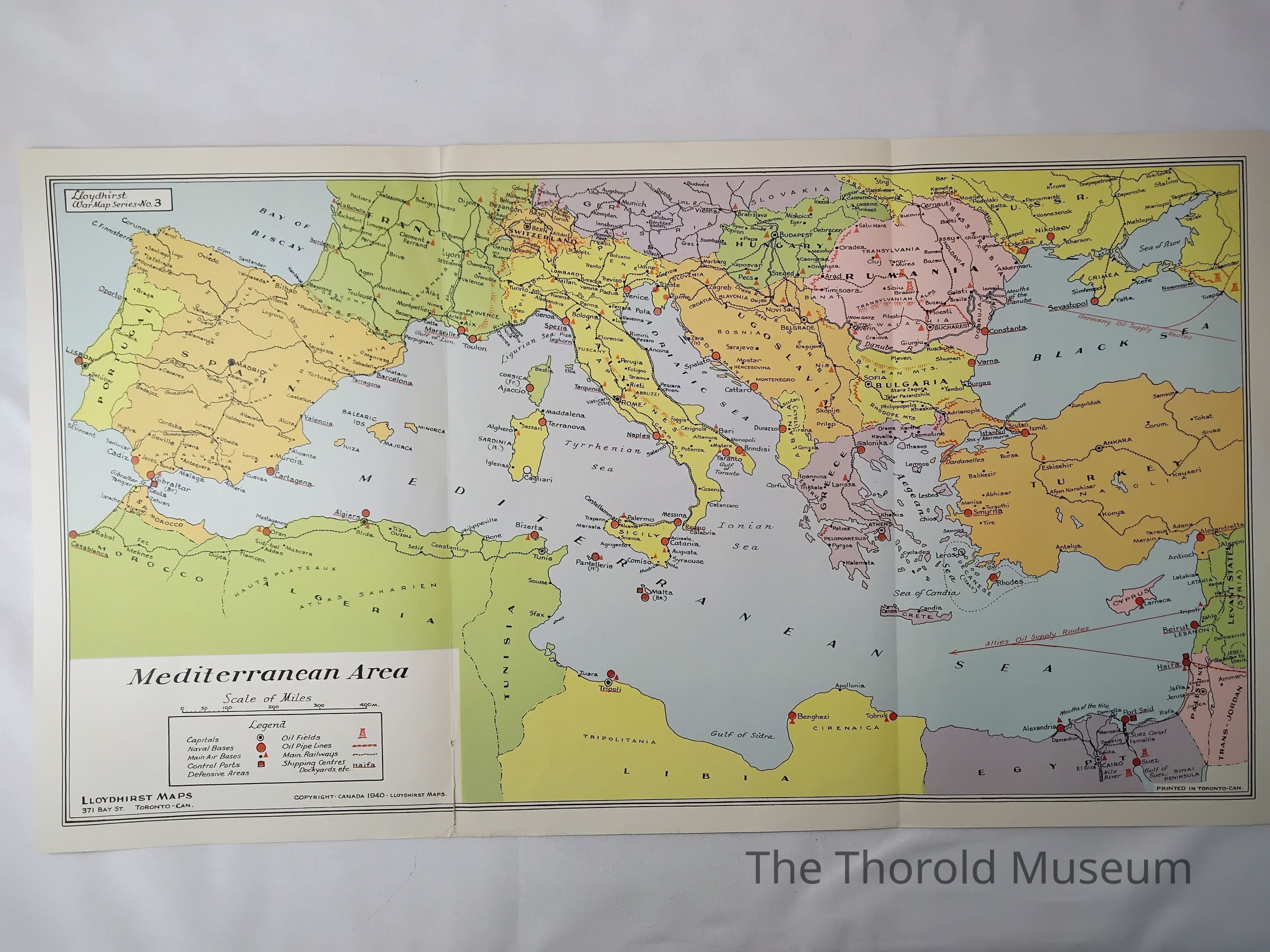
Name/Title
Lloydhirst portfolio of war mapsEntry/Object ID
2024.005.174Tags
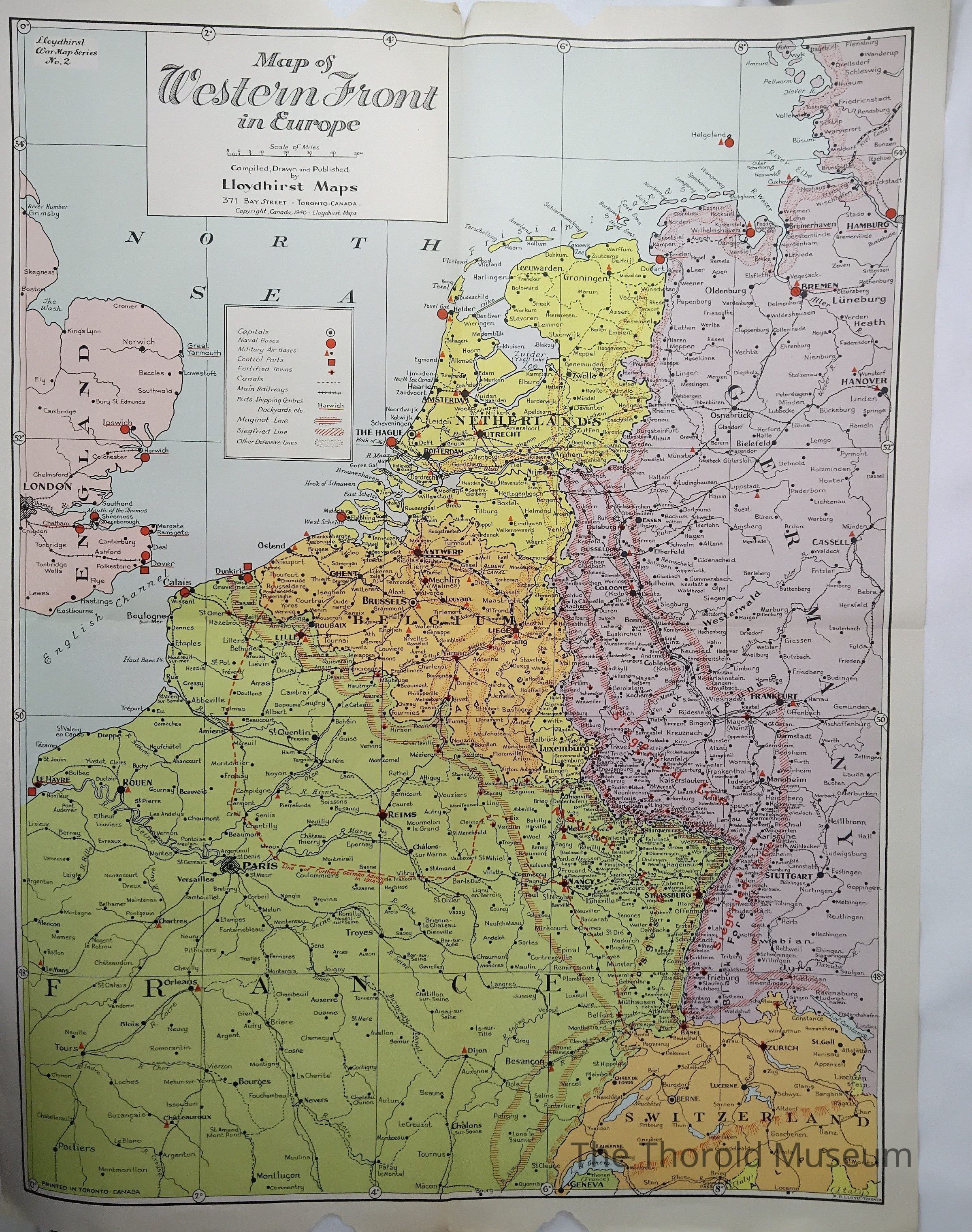
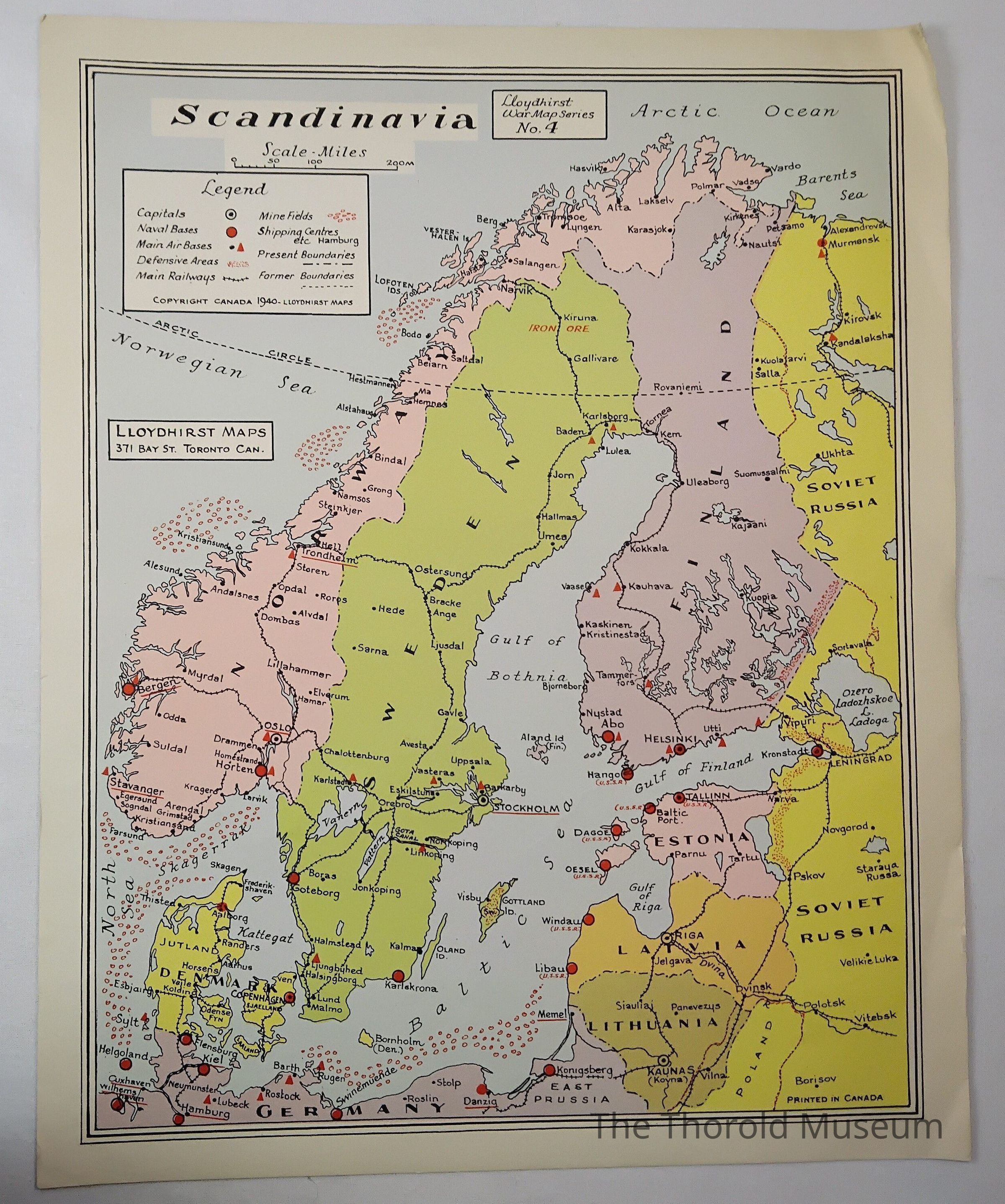
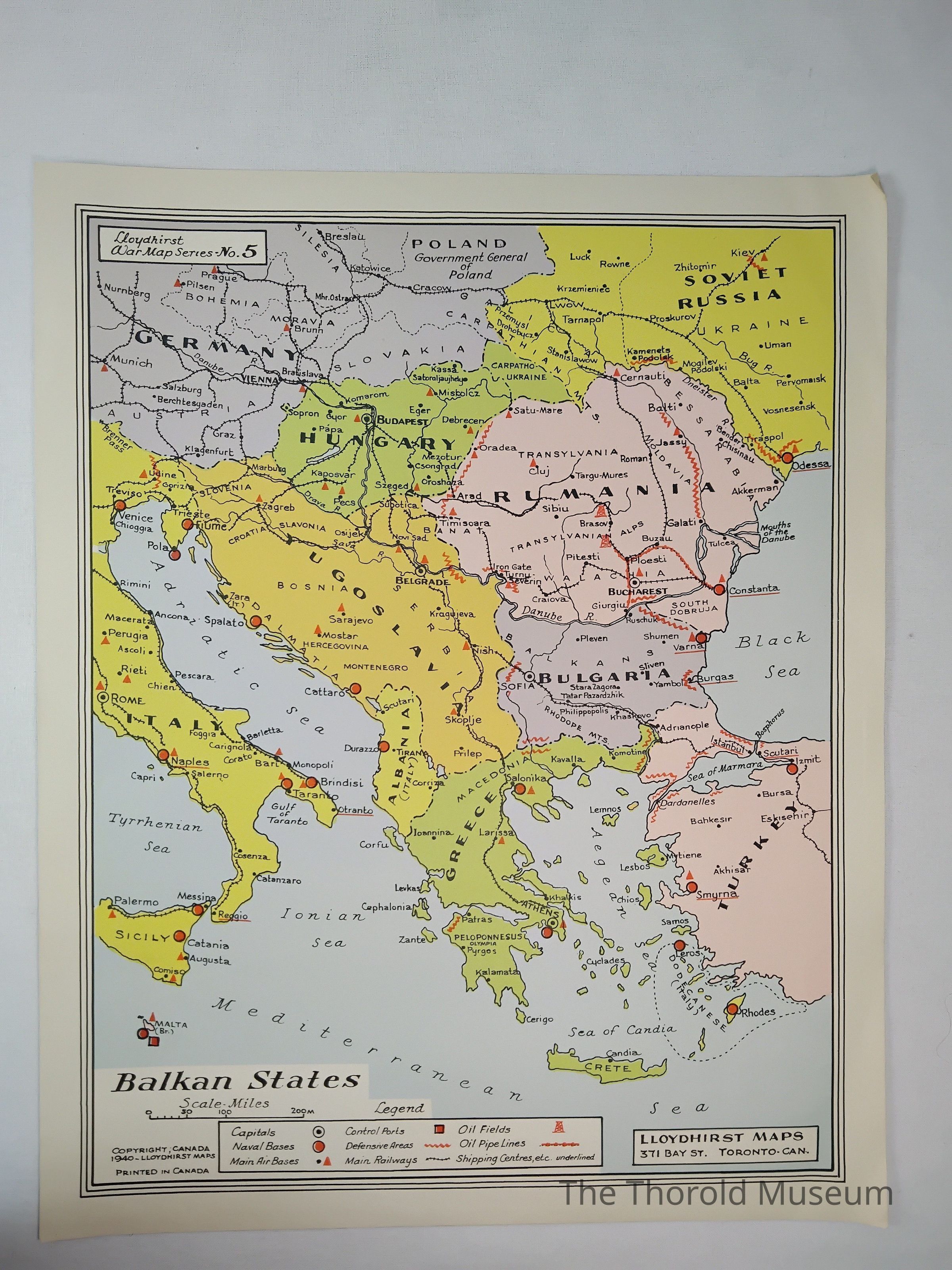
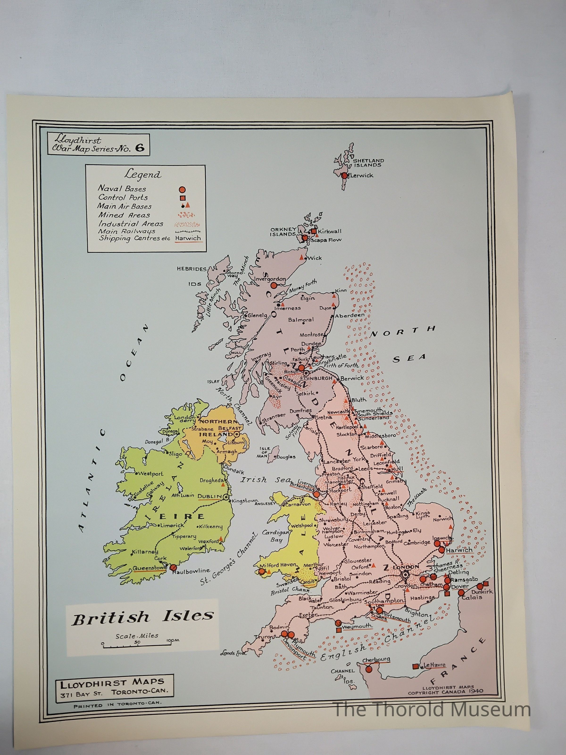
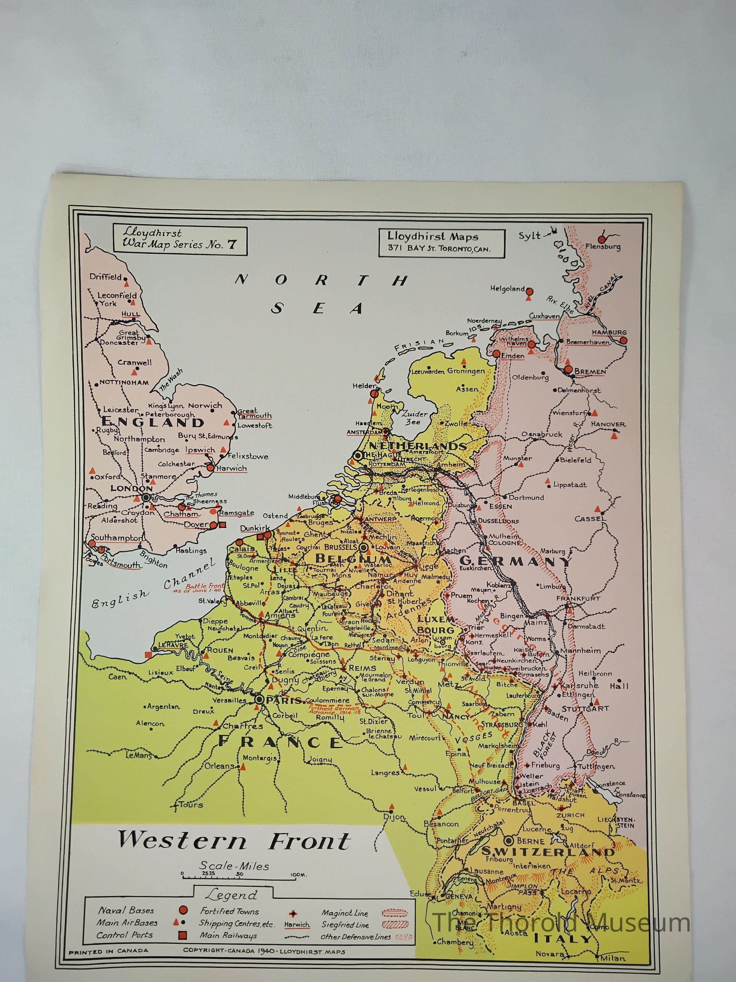
MAPSDescription
A collection of maps outlining Europe and the western fronts from the WW2 eraCataloged By
Victoria StewartPublication Details
Author
Lloydhirst mapsPublisher
Canadian Corps AssociationPlace Published
City
TorontoState/Province
OntarioCountry
CanadaContinent
North AmericaDate Published
circa 1940Time Period
20th CenturyPrinter
Lloydhirst mapsPlace Printed
City
TorontoState/Province
OntarioCountry
CanadaContinent
North AmericaDate Printed
circa 1940Publication Language
EnglishPublication Subjects
MapsParts
Count
8Parts
1 folder, 7 mapsCopyright
Copyright Holder
Lloydhirst mapsCopyright Date
1940Notes
Says copyrighted on the front of A