HUB
Collections
Classifications
About
App
Johnson's maps of Ireland and Scotland
Map
-
The Thorold Museum
Front of map A
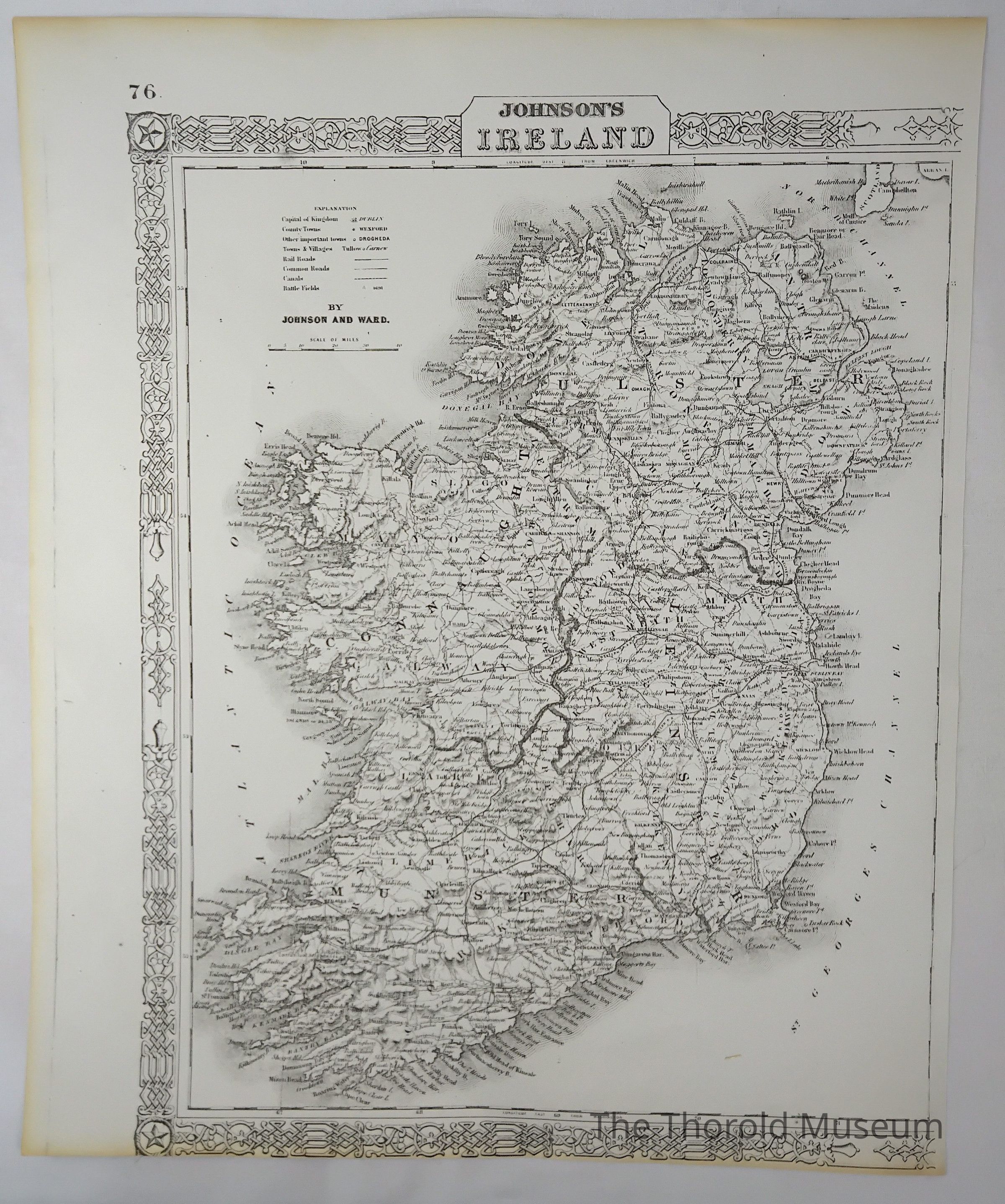
Map of Ireland
Name/Title
Johnson's maps of Ireland and Scotland
Entry/Object ID
2024.005.175
Tags
MAPS
Description
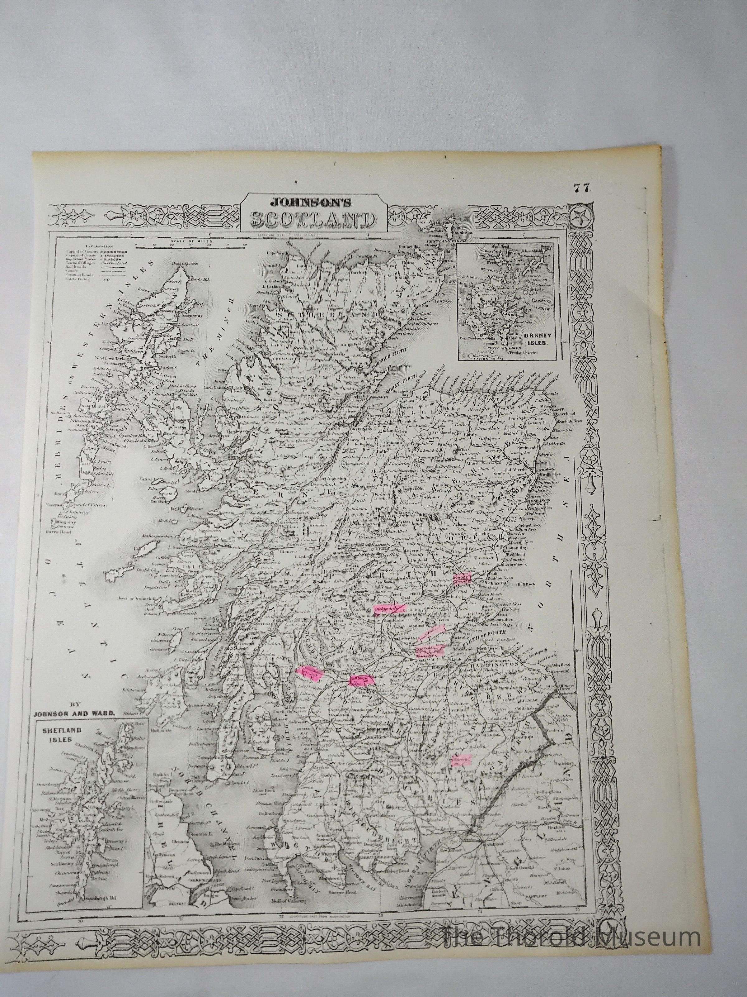
Two pages, page 76 and 77 from an unknown publication, depicting maps
Cataloged By
Victoria Stewart
Map Details
Maker or Creator
Johnson and Wade
Scale
Miles
Area or Region
Country
Ireland
Time Period
20th Century
Publication Language
English
Map Notes
Map A shows Ireland, map B shows Scotland
Inscription/Signature/Marks
Type
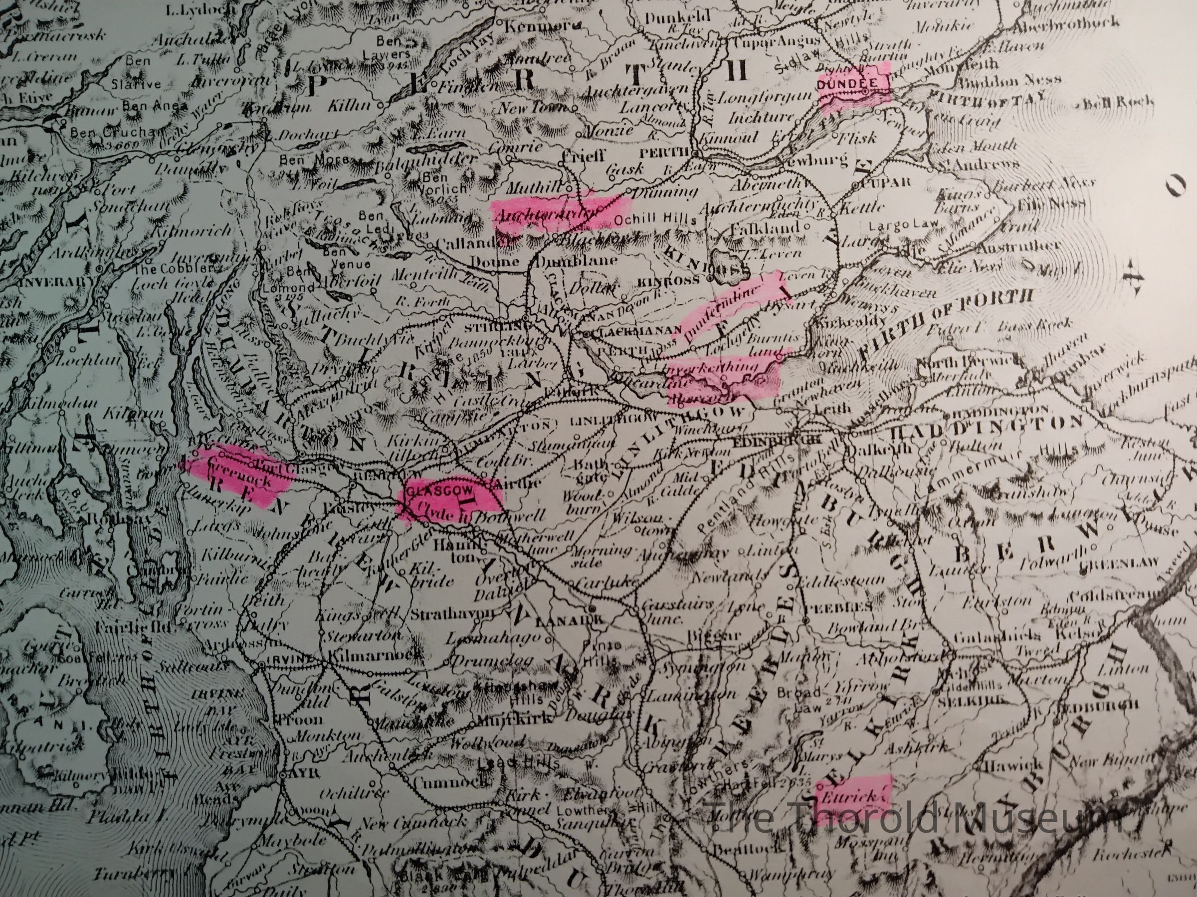
Highlights
Location
Lower half on the front of map B
Notes
Highlights these places Dundee Ettricks Greeuock -Uncerain- Dunfermline -Uncerain- -Uncerain- Glasgow Clyde H
Dimensions
Height
42.5 cm
Width
35 cm
Parts
Count
2
Parts
Map A - Ireland, map B - Scotland