HUB
Collections
Classifications
About
App
Lloydhirst portfolio of war maps
Publication
-
The Thorold Museum
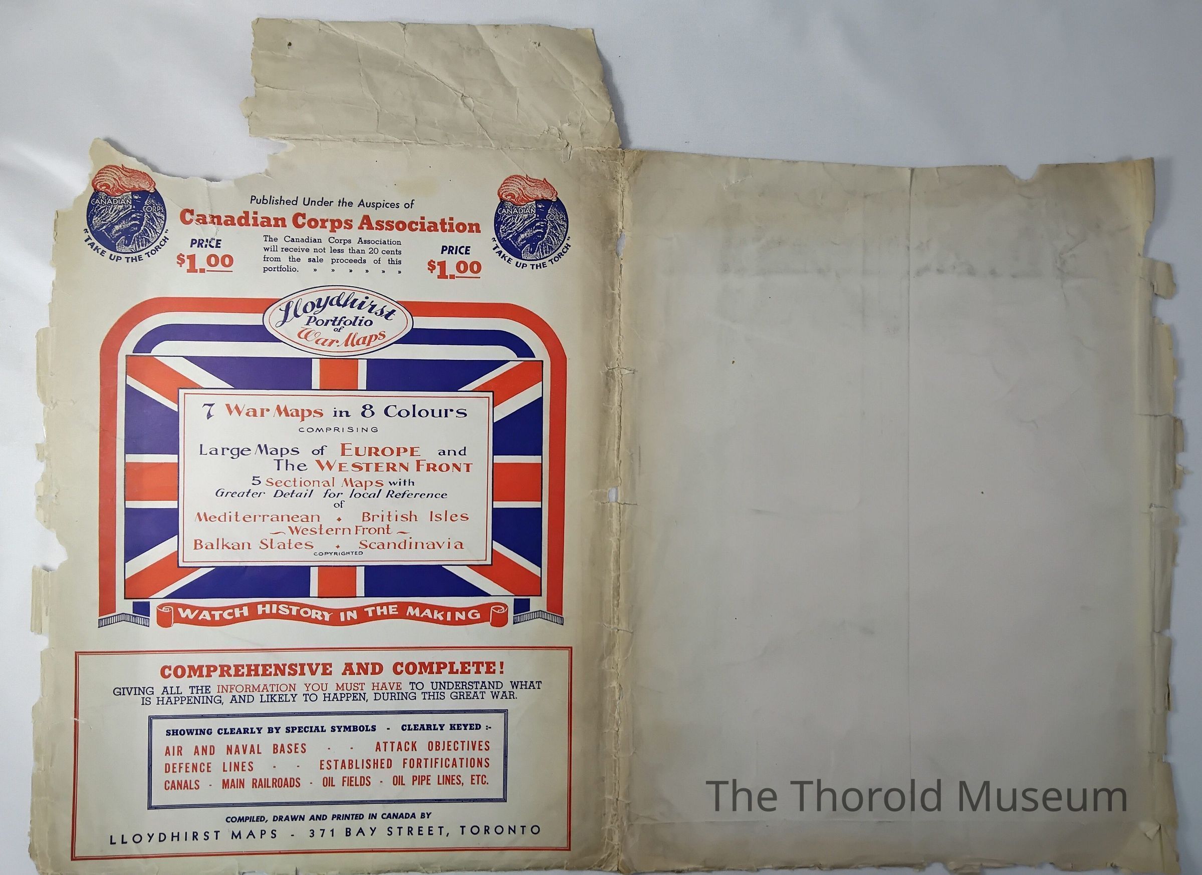
Front of A
Folder that holds the maps
Name/Title
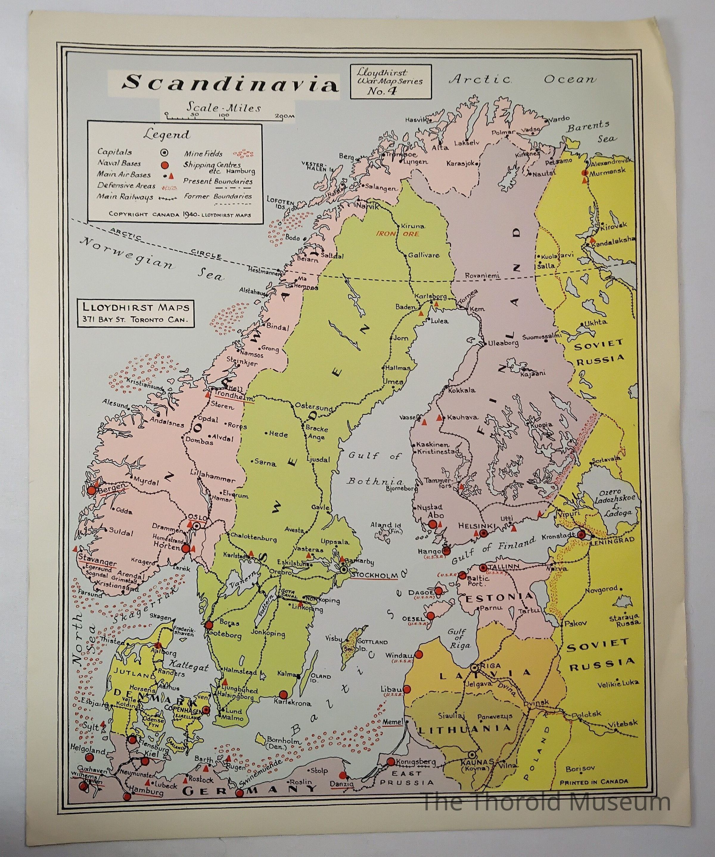
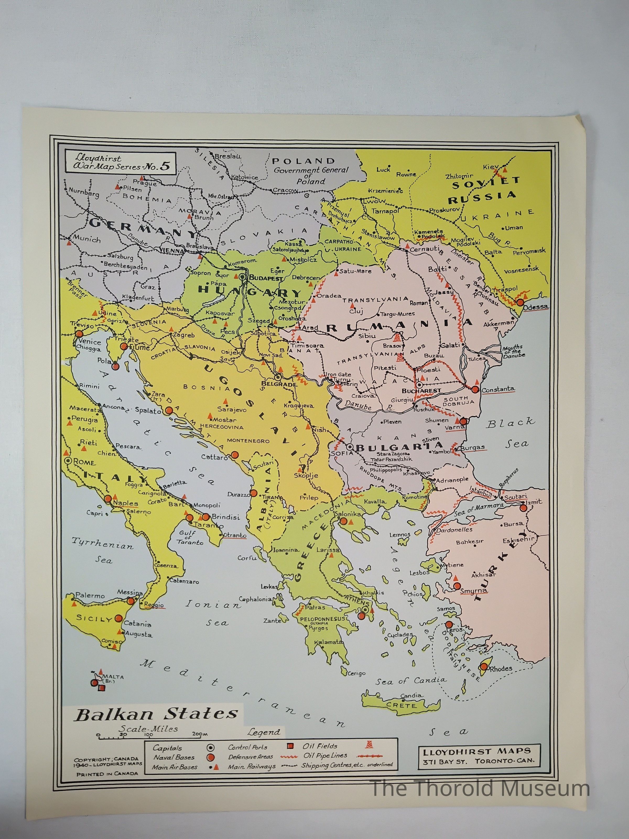
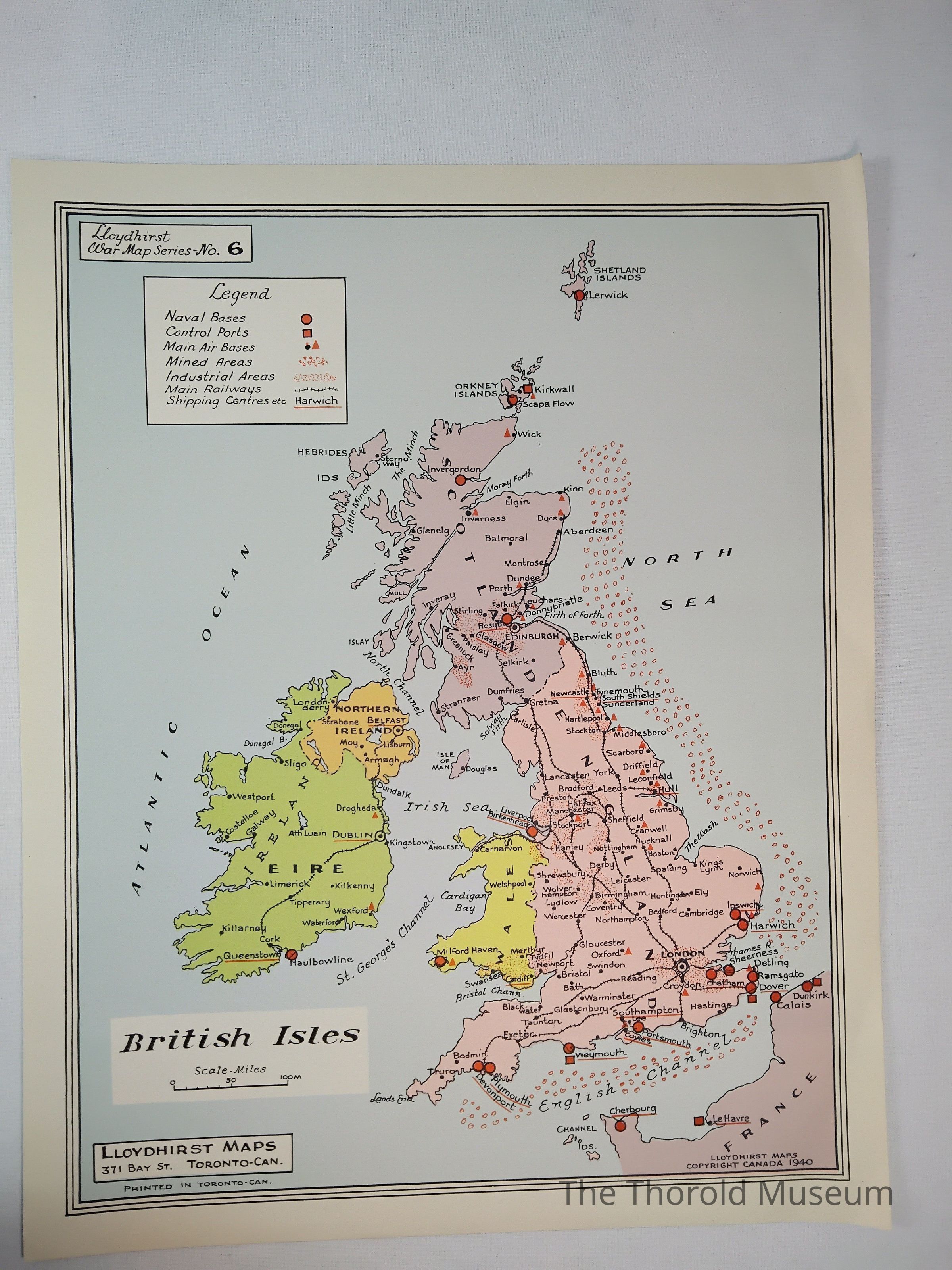
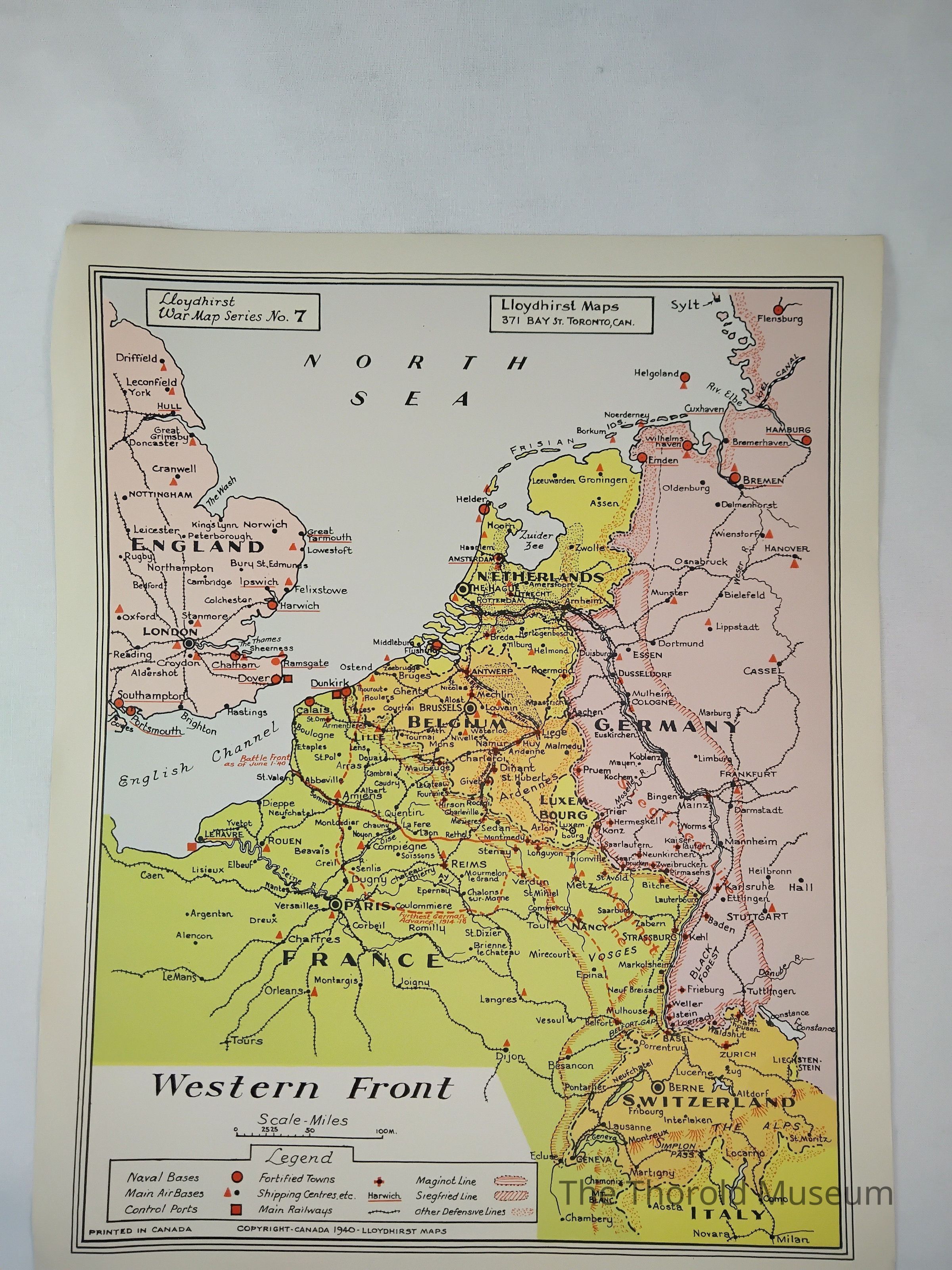
Lloydhirst portfolio of war maps
Entry/Object ID
2024.005.174
Tags
MAPS
Description
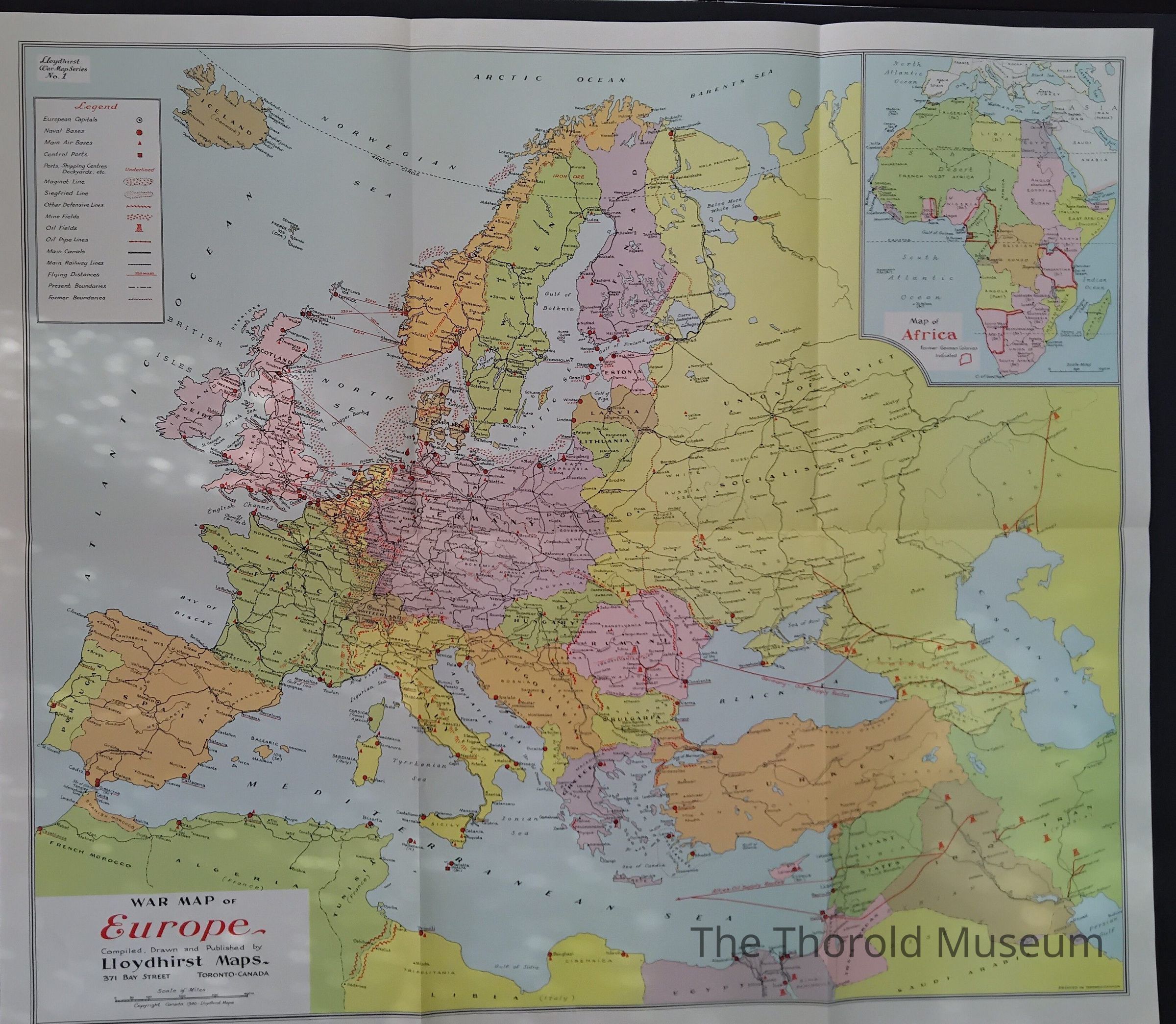
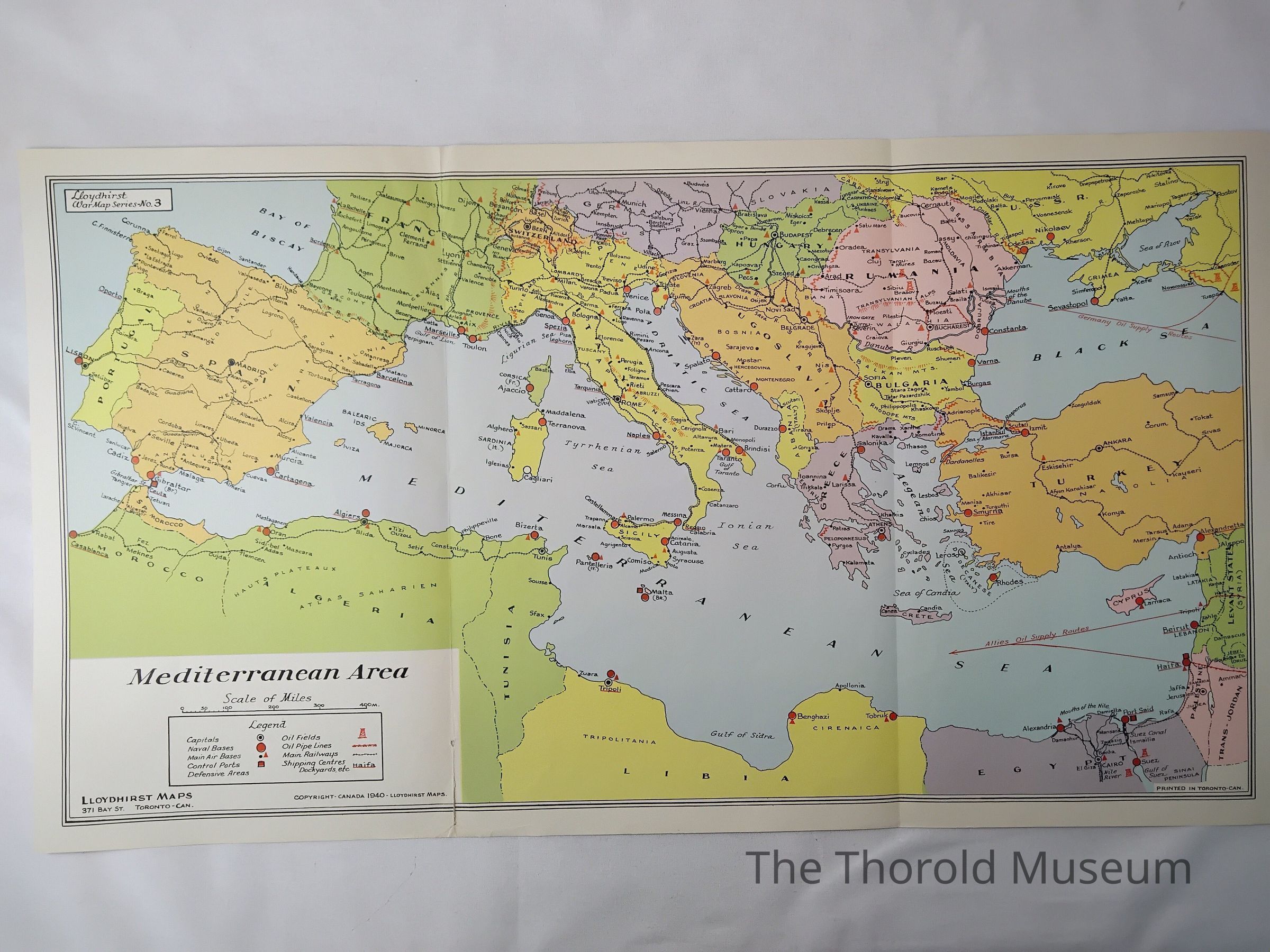
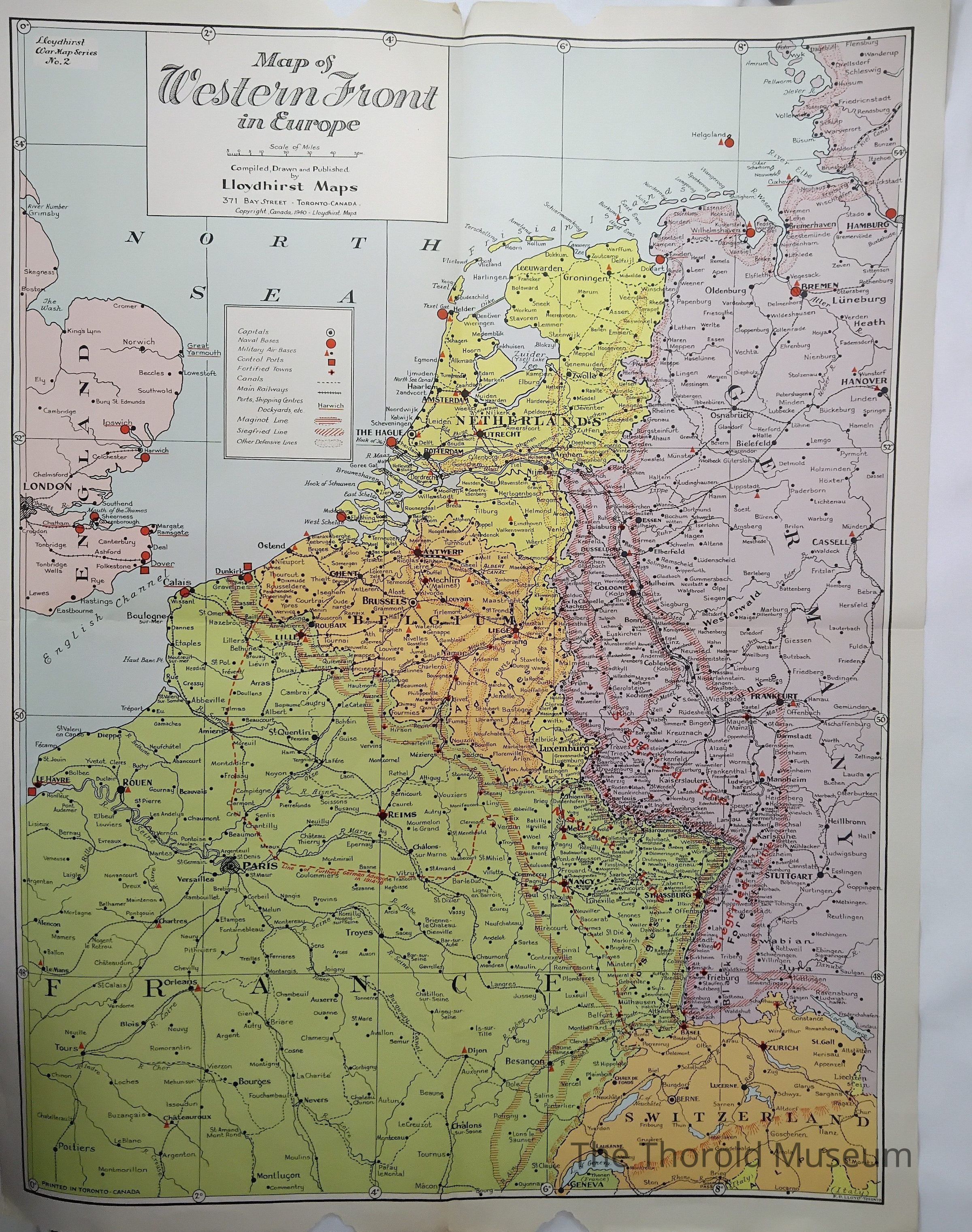
A collection of maps outlining Europe and the western fronts from the WW2 era
Cataloged By
Victoria Stewart
Publication Details
Author
Lloydhirst maps
Publisher
Canadian Corps Association
Place Published
City
Toronto
State/Province
Ontario
Country
Canada
Continent
North America
Date Published
circa 1940
Time Period
20th Century
Printer
Lloydhirst maps
Place Printed
City
Toronto
State/Province
Ontario
Country
Canada
Continent
North America
Date Printed
circa 1940
Publication Language
English
Publication Subjects
Maps
Dimensions
Height
43 cm
Width
58 cm
Parts
Count
8
Parts
1 folder, 7 maps
Copyright
Copyright Holder
Lloydhirst maps
Copyright Date
1940
Notes
Says copyrighted on the front of A