Name/Title
East Machias Historic District | East Machias, MaineDescription
From East Machias Historic District Nomination Form:
The Town of East Machias is located in central Washington County, the easternmost county in Maine. The village is situated along the banks of the East Machias River. The village is approximately four miles from the County Seat at Machias.
The exact boundaries for the district are as follows: Beginning at a point 200'+ north of Route 1 at the western end of the Pope Memorial Bridge, which point is at the intersection of Latitude 44°44'22" and Longitude 67°23'23"; thence easterly crossing Factory Street; the East Machias River, Route 1, and Bridge Street to a point just east of the church cemetery, whih point is at the Intersection of Latitude 44^44'18" and Longitude 67°23'07"; thence southerly to a point 450'+ east of High Street, which point is at the intersection of Latitude 44^44'02" and Longitude 67°23'34"; thence westerly crossing High Street and Water Street to a point in East Machias River, which point is at the intersection of Latitude 44°43'58" and Longitude 67®23'18"; thence northerly to the point of beginning.
The boundaries herein described encompass an area of 63 acres+ of high ground and water.Web Links and URLs
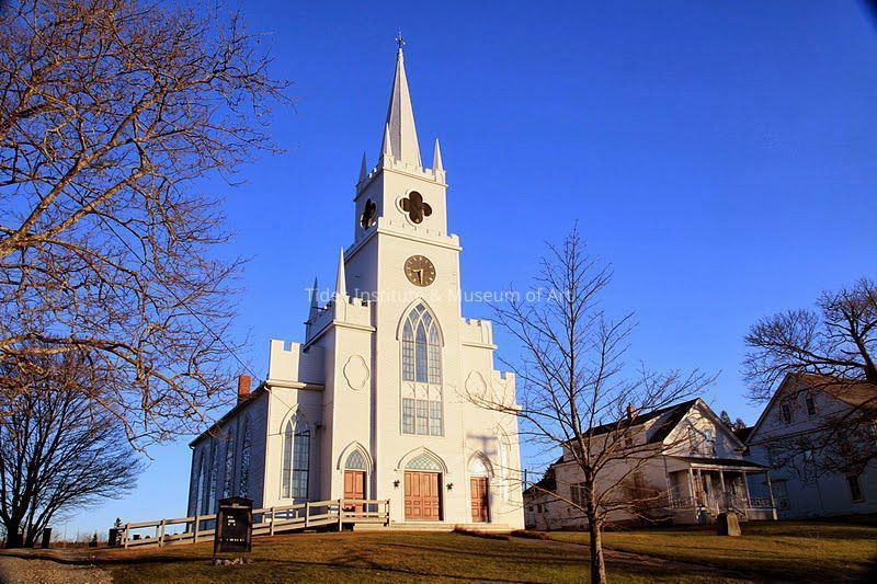
East Machias Historic District National Register Nomination (1973), 1. Pope Memorial Bridge, 2. Gaddis Brothers Company Building, 3. Daniel Foster House, 4. John Foster House, 5. Dennis Garland House, 6. First Congregational church, 7. Burrill's Store, 8. G. E. Burrill House, 9. Simon McNeil House, 10. Colonel C.W. Foster House, 11. Cyrus Gardner House, 12. G. H. Hovey House, 13. J. Harris House, 14. Mrs. P. Hyatt House, 15. Old School House, 16. A. F. Kingsley House, 17. C. S. Gardner House, 18. Mrs. Kahaley House, 19. First Congregational Church Vestry, 20. First Congregational Church Parsonage, 21. G. D. Gaddis House, 22. Woodin Foster House, 23. William Chase House, 24. Washington Academy Building, 25. Church of the Disciples of Christ, 26. James Foster House, 27. Charles Foster House, 28. J. McNulty House, 29., Hammond Dennison House, 30. B. T. Chaloner House, 31. Benjamin G. Chaloner House, 32. C. P. Hovey House, 33. Jabez West House, A. Site of S. W. Pope and Company Grist Mill., B. Site of S. W. Pope and Company Saw Mill., C. Site of Grist Mill built by James Foster in 1818., D. Site of Saw Mill and Grist Mill of the J. M. Wiswell and Company.