Name/Title
Maps of the Woodbine and Sand Lake Union Cemetery Burial PlotsEntry/Object ID
2021.4.2Scope and Content
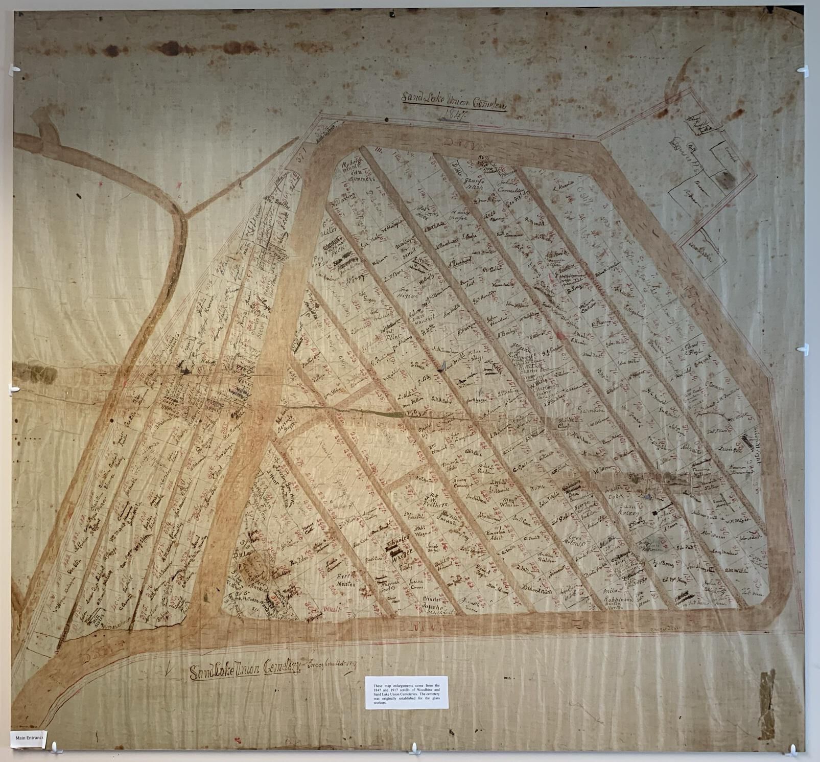
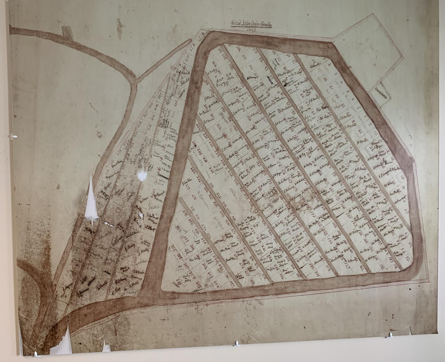
Two enlarged (approximately 4-foot square) photographs of hand-drawn maps of the burial plots in the Woodbine and Sand Lake Union Cemetery in the Hamlet of Averill Park in the Town of Sand Lake, NY, as of 1847 and 1917. The cemeteries were initially established for the internment of glass factory workers. Both maps are currently hanging on the wall near the rear exterior entrance to the TOSL Library on the 2nd floor of Town Hall. The enlarged prints were created to provide visual displays in support of the first Amazing Graves cemetery walking tour and theatrical production on October 15 and 16 2016 and have since proved to be useful in support of research efforts. Refer to the web links portion of this entry for more information about Amazing Graves.Cataloged By
Michael Frederick PerryCreated By
curator@slhstrustees.orgCreate Date
May 16, 2021Updated By
curator@slhstrustees.orgUpdate Date
March 22, 2022