Name/Title
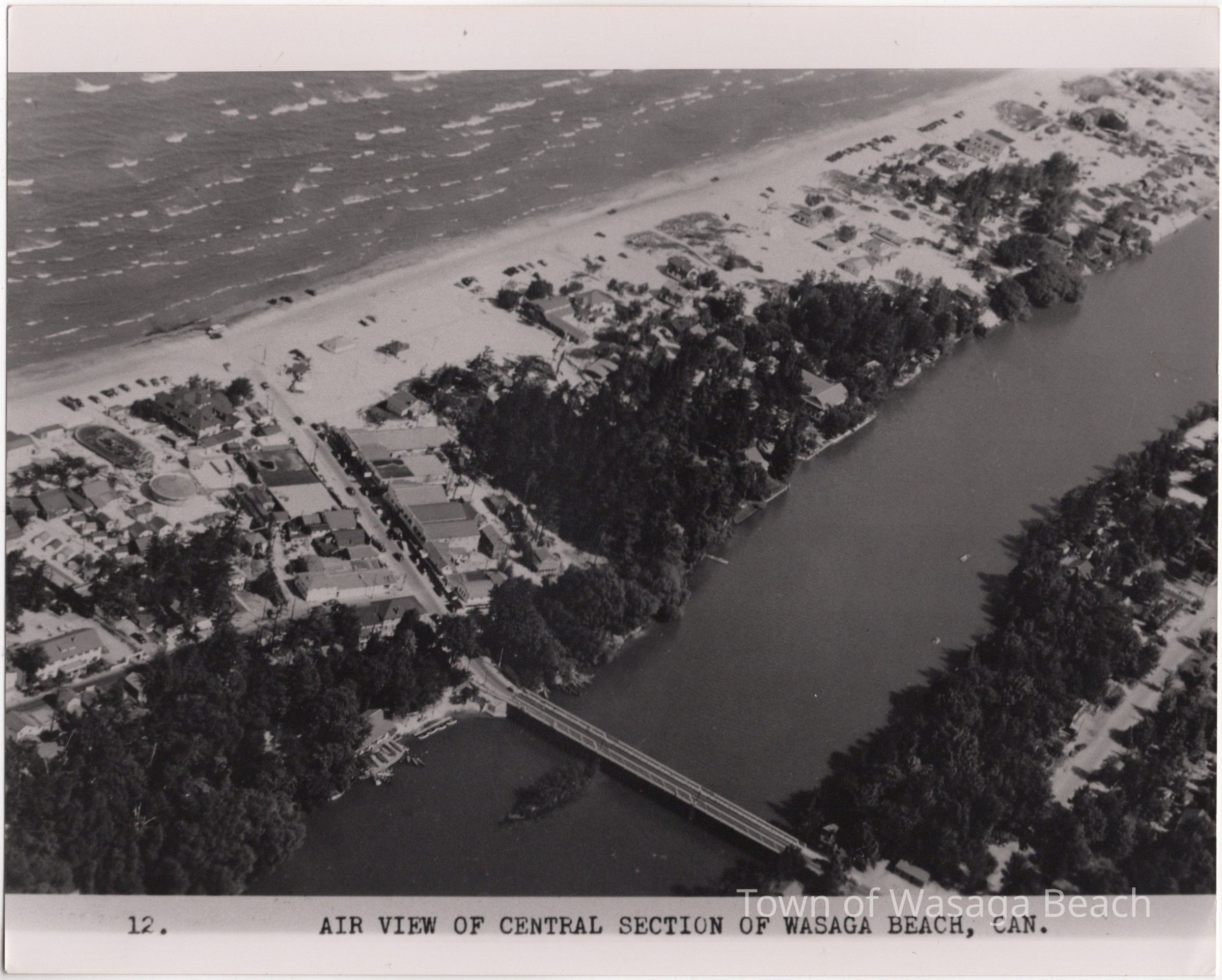
Aerial View Main Street to the Point, Wasaga Beach, OntarioEntry/Object ID
2020.44.4Scope and Content
PhotographContext
The aerial photograph includes as area west of the Main Street business section eastward towards the mouth of the Nottawasaga River (AKA the Point). The aerial picture was photographed when buildings were still located along the beachfront from Main Street to the Point, prior to the expropriation of property by the Province of Ontario. The photograph can be seen on Page 74 of "Wasaga Saga" by Thelma Morrison.Acquisition
Accession
2020.44Source or Donor
Thelma MorrisonAcquisition Method
Gift