Aerial View Nottawasaga River and Beachfront, Wasaga Beach, Ontario
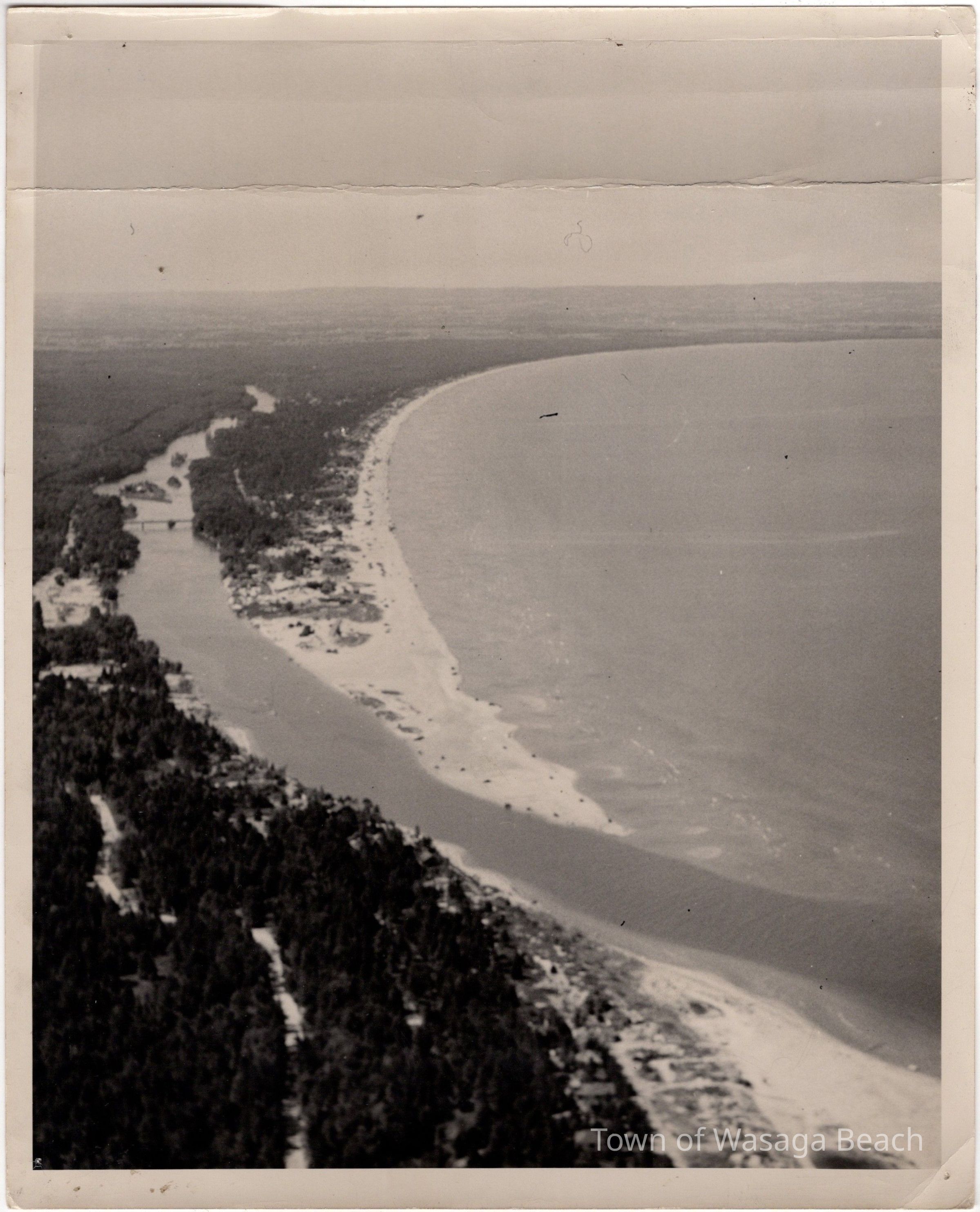
Aerial photograph showing buildings and/or businesses along the beach to the point at the mouth of the Nottawasaga River

Aerial photograph showing buildings and/or businesses along the beach to the point at the mouth of the Nottawasaga River

Name/Title

Aerial View Nottawasaga River and Beachfront, Wasaga Beach, Ontario

Entry/Object ID

2008.63.1

Scope and Content

Aerial Photograph

Context

The photograph, donated to the Archives in 2008, is an aerial view looking westward from the mouth of the Nottawasaga River, along the river and beachfront. Buildings and/or businesses are visible on the "spit" or "point", east of the Main Street bridge to the mouth of the river. Today this area is Beach Area One.

Acquisition

Accession

2008.63

Source or Donor

Ernie Osborne

Acquisition Method

Gift

Dimensions

Height

10 in

Width

8 in