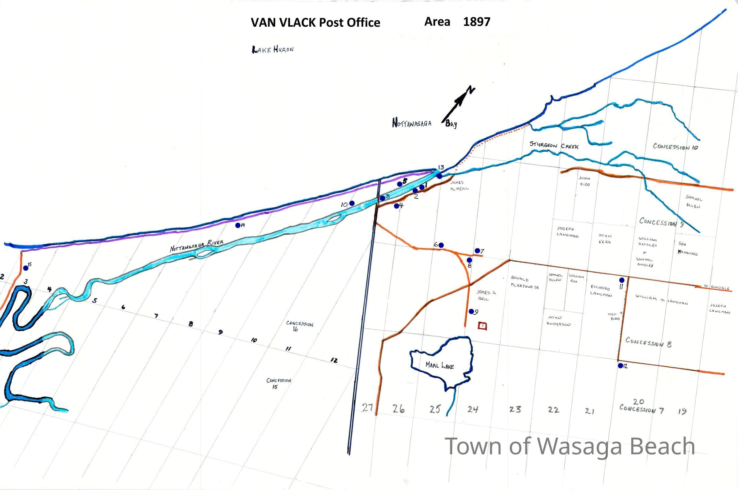
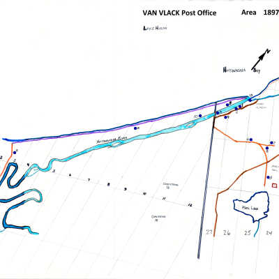
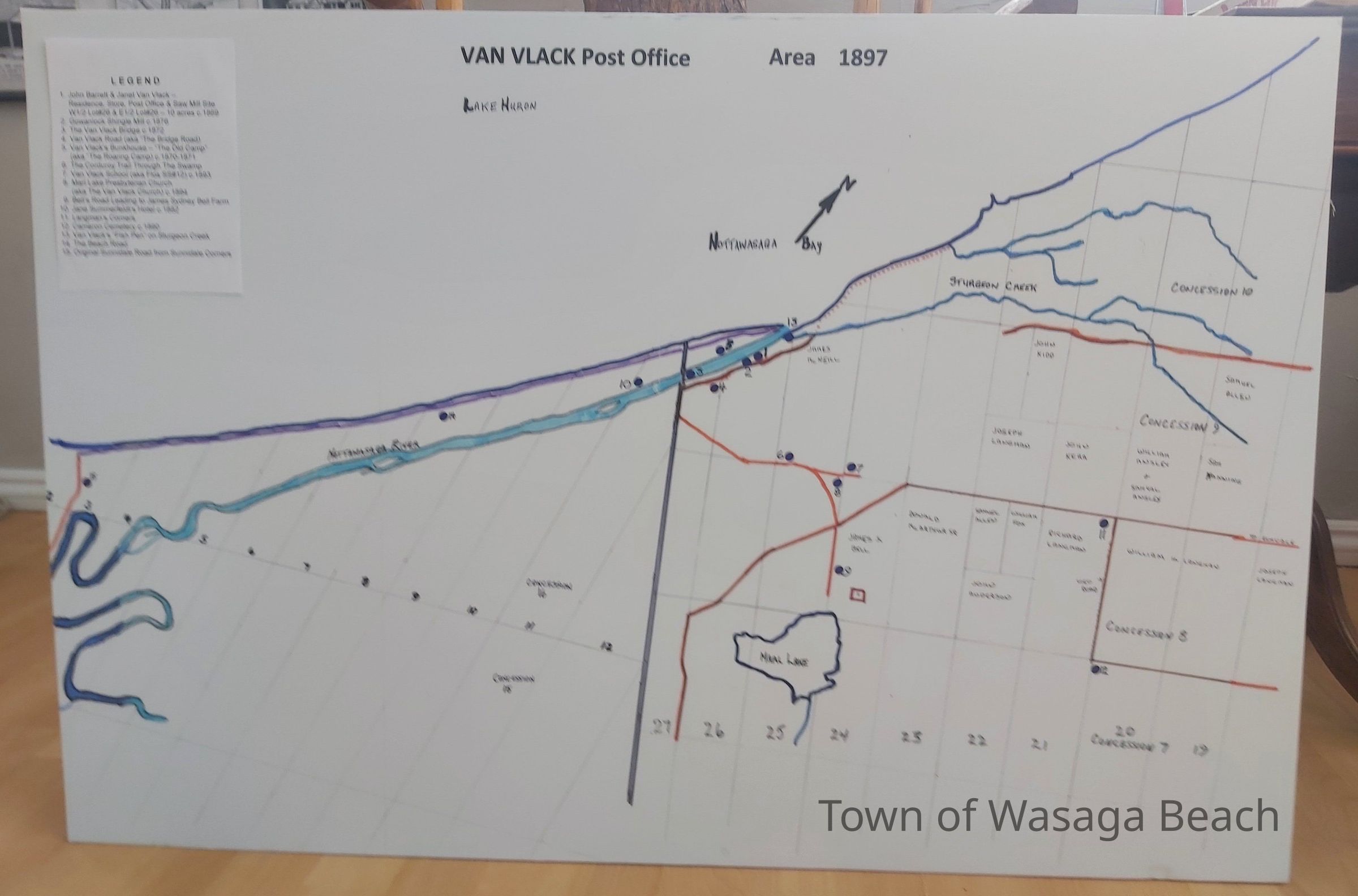
Name/Title
Hand Drawn Map of Van Vlack Post Office Area - 1897Entry/Object ID
2024.789.2Scope and Content
Hand drawn map of Van Vlack Post Office area, researched and drawn by Archives volunteers Karen Bowles and Terry Olaskey.Acquisition
Accession
2024.789Source or Donor
Karen Bowles, Terry OlaskeyAcquisition Method
Gift