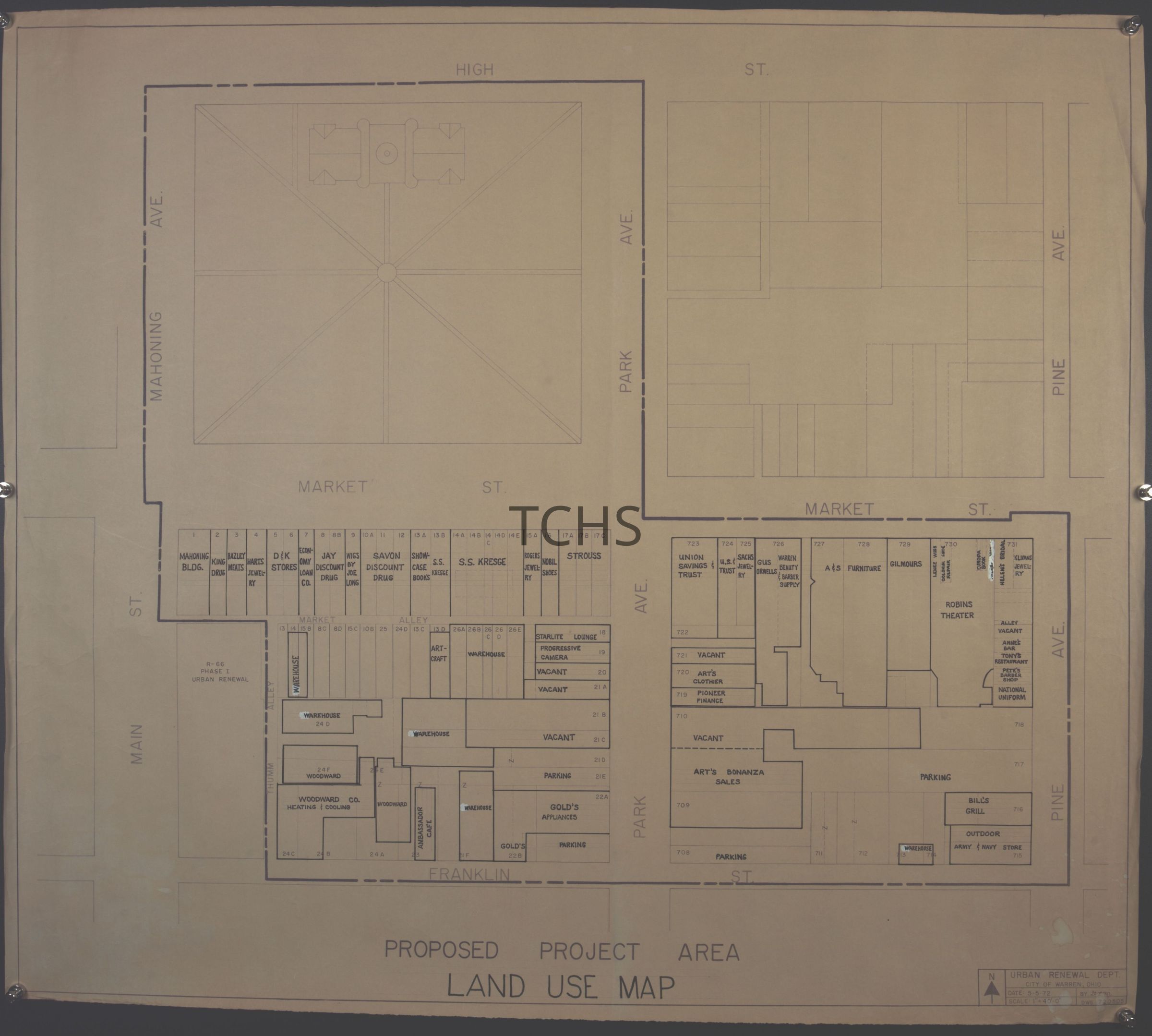
Disposition Plan Map- South St Project No. 2 Code No.R-225
Entry/Object ID
2021.20.3
Tags
1970s
Description
Disposition Plan Map- South St Project No. 2 Code No.R-225
Collection
Urban Renewal
Acquisition
Accession
2021.20
Acquisition Method
Gift
Location
Location
* Untyped Location
Urban Renewal Maps Box 2
Date
March 1, 2025
Relationships
Related Person or Organization
Person or Organization
Trumbull County Land Bank, Lynn, Kittinger, & Noble
Related Places
Place
Street
South Park Ave., Franklin St. S.E., Pine Ave.
* Untyped Place
Warren, Ohio, Main Street, Warren, Mahoning Avenue, Warren, Market Street, Park Avenue
Related Events
Event
Urban Renewal
Notes
Between 1965 and 1980, the city of Warren demolished more than 300 buildings, primarily in the historically black workers housing area of The Flats, as well as commercial buildings on Main Avenue, Franklin Street and South Street.