HUB
Collections
Classifications
About
App
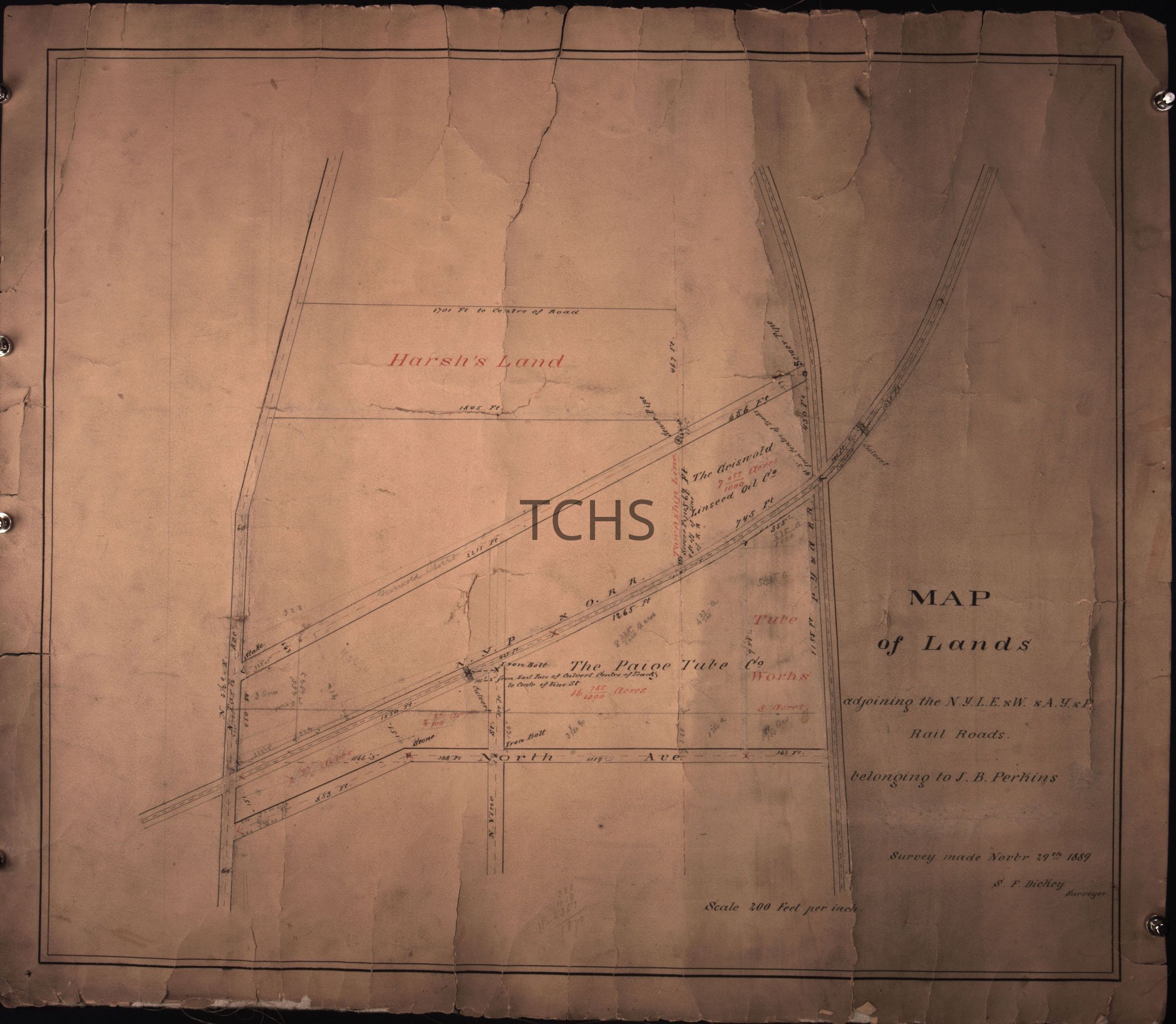
Map of Lands, Surveyed by H.B. Perkins, 1860
Object/Artifact
-
Trumbull County Historical Society
Name/Title
Map of Lands, Surveyed by H.B. Perkins, 1860
Entry/Object ID
02.11.30
Tags
1860s
Description
Elevation Survey - Mahoning River and proposed canal 1860.
Collection
Gillespie
Acquisition
Accession
02.11
Source or Donor
Gillespie Estate
Acquisition Method
Gift
Location
Location
Cabinet
04a
Room
Morgan History Vault
Building
Morgan History Center
Date
March 10, 2025
Location
Room
1870 Parlor
Building
John Stark Edwards House
Notes
Misc. Scanned Oversized Archives Box
Relationships
Related Person or Organization
Person or Organization
Perkins, Henry Bishop (H.B.)