Name/Title
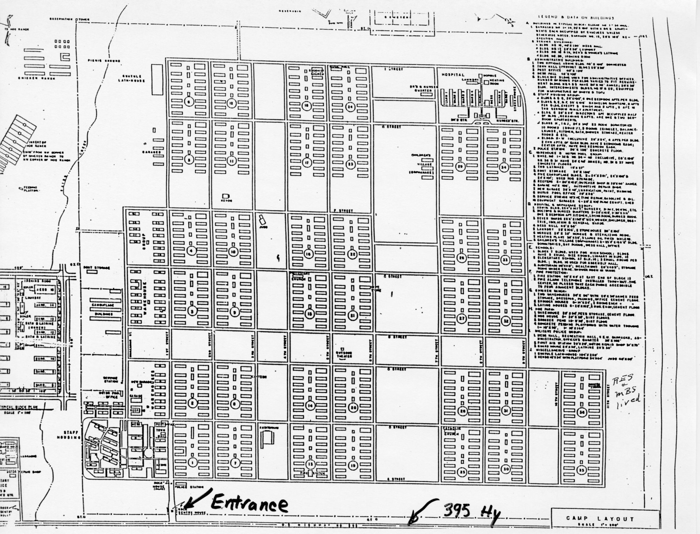
Map of ManzanarEntry/Object ID
H90115Description
An aerial map of the Manzanar internment camp.Made/Created
Notes
Scanned as 300 DPI .TIFLexicon
Legacy Lexicon
Object Name
Japanese Americans--Evacuation and Relocation--1942-1945, Japanese Americans, Manzanar National Historic Site (Calif.), MapsOther Names
Name Type
File NameOther Name
Japanese internment0026.tifLocation
Location
Box
Japanese Internment, Box H9Date
February 28, 2026Inventory
Inventoried Date
Dec 7, 2016Copyright
Copyright Details
For Permissions to publish please contact The University of La Verne Archives and Special collections.Create Date
February 28, 2026Update Date
February 28, 2026