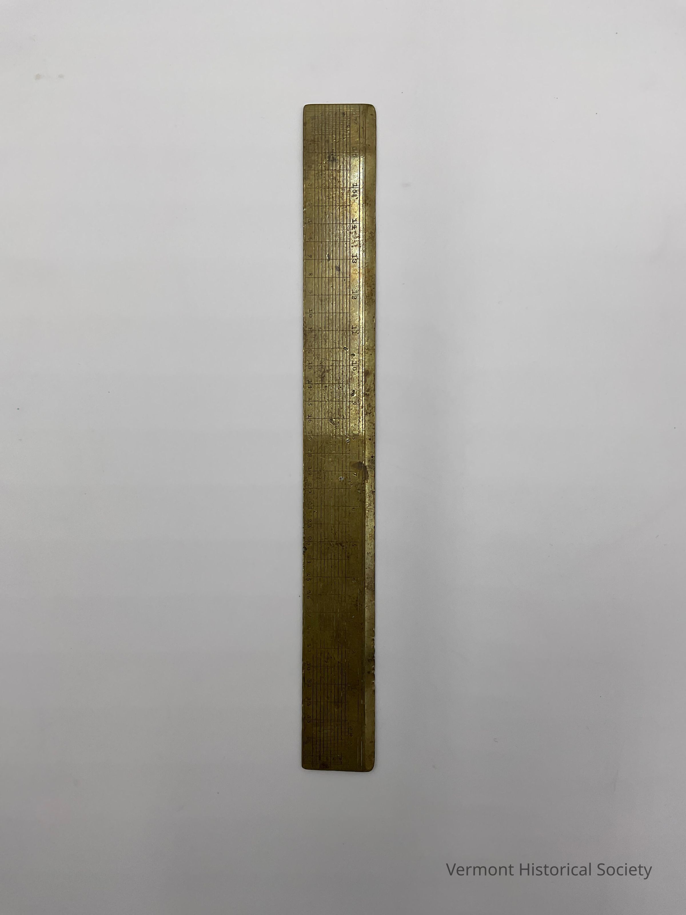
Navigational Rule

Name/Title

Navigational Rule

Entry/Object ID

1885.1.4a

Description

Straight metal ruler engraved with horizontal, vertical, and diagonal lines marking different scales.

Context

Used by James Whitelaw of Ryegate, Vermont's second Surveyor General.

Acquisition

Accession

1885.1

Source or Donor

Whitelaw, George P.

Acquisition Method

Gift

Lexicon

Nomenclature 4.0

Nomenclature Primary Object Term

Scale, Navigational

Nomenclature Sub-Class

Navigational Equipment

Nomenclature Class

Surveying & Navigational T&E

Nomenclature Category

Category 05: Tools & Equipment for Science & Technology

Material

Metal

Relationships

Related Person or Organization

Person or Organization

Whitelaw, James

Related Places

Place

Town

Ryegate

County

Caledonia County

State/Province

Vermont

Country

United States of America

Continent

North America

Interpretative Labels

Label

Navigational Scales Used by James Whitelaw (1748 - 1829), Vermont’s second Surveyor General Ryegate, VT Gift of George P. Whitelaw, 1885.1.4ab James Whitelaw was born in Scotland, and came to America in 1773 as a land scout for the Scotch American Company of Farmers. He worked and traveled in several different colonies, but settled in Ryegate, Vermont. In 1787 he became Vermont’s second Surveyor General. In this capacity he was responsible for completing accurate local surveys of towns and counties. Whitelaw’s work is central to the new settlers’ process of dividing the Vermont landscape for private ownership and development. Mapmaking is a process of definition: Whitelaw and others like him were projecting their own vision of Vermont’s landscape. That vision emphasized European-style agriculture, certain kinds of “productive” wild animals, and left no room for the catamount.