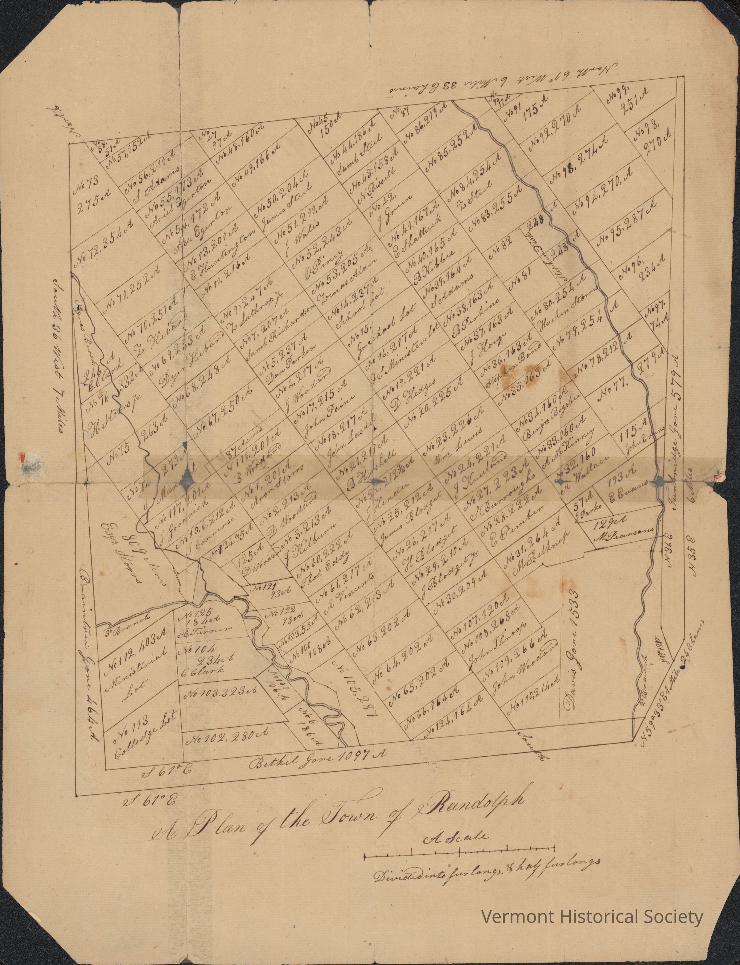
Name/Title
A Plan of the Town of RandolphScope and Content
Manuscript map of the town of Randolph, showing plots as purchased by early residents.Context
During the earliest European settlement of Vermont, land speculators often drew lotting maps and sold parcels without much regard for topography or even desirability. This map of Randolph shows that clearly: dividing up the land in straight lines, sight unseen, with the names of purchasers assigned to most parcels.