Name/Title
WARRENEntry/Object ID
WHC 2018.54Scope and Content
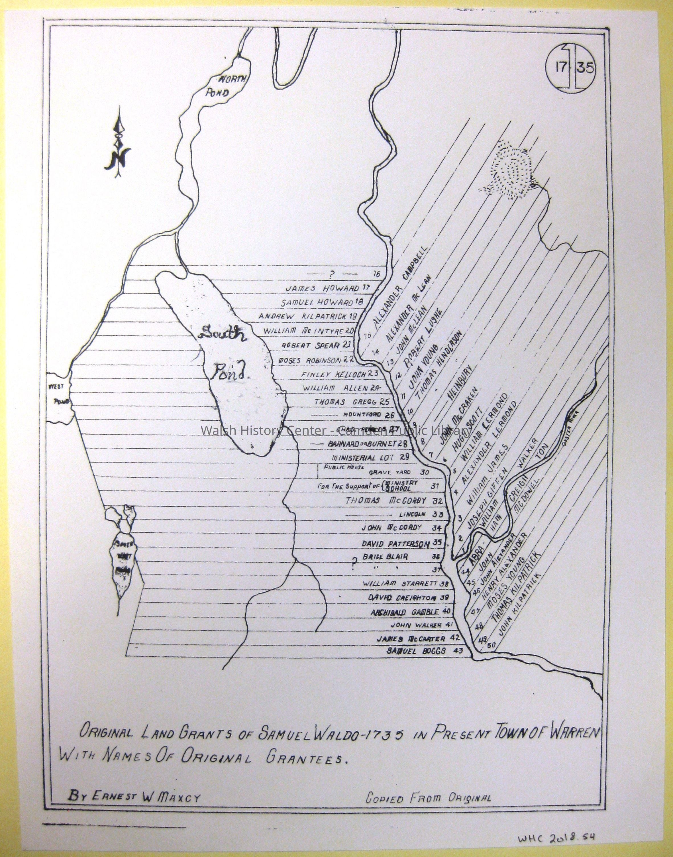
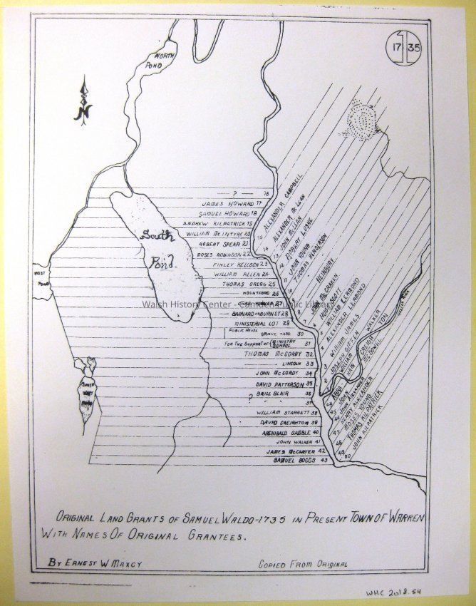
WARREN - Reduced copy of Ernest Maxcy's blueprint No. 1-1735, showing the original lot layouts and the original owners in 1735 according to Cyrus Eaton's Annals of Warren. (The map in Eaton's book shows the later owners as of the writing of the book.)Collection
Camden Public Library Map CollectionCataloged By
Wyatt BerryAcquisition
Accession
WHC 2018.54Source or Donor
CPL Map CollectionAcquisition Method
Found in CollectionLexicon
Nomenclature 4.0
Nomenclature Secondary Object Term
MapNomenclature Primary Object Term
CartographNomenclature Sub-Class
Graphic DocumentsNomenclature Class
Documentary ObjectsNomenclature Category
Category 08: Communication ObjectsLOC Thesaurus for Graphic Materials
MapsSearch Terms
Cyrus Eaton, Annals of Warren, Ernest Maxcy, Warren, Maps, Lots, OwnersArchive Details
Date(s) of Creation
1735Archive Size/Extent
8.5" X 11"Location
Location
Cabinet
Map CaseBuilding
Walsh History CenterCategory
PermanentDate
October 21, 2025Category
PermanentMoved By
Wyatt BerryDate
September 21, 2018Inventory
Inventoried By
Wyatt BerryInventoried Date
Sep 21, 2018Relationships
Related Person or Organization
Person or Organization
Cyrus EatonPerson or Organization
Ernest MaxcyGeneral Notes
Note
Status: OK
Status By: Wyatt Berry
Status Date: 2018-09-21Created By
admin@catalogit.appCreate Date
September 18, 2018Updated By
admin@catalogit.appUpdate Date
October 27, 2025