Name/Title
MAINE GENERAL HIGHWAY ATLASEntry/Object ID
WHC 2018.62Scope and Content
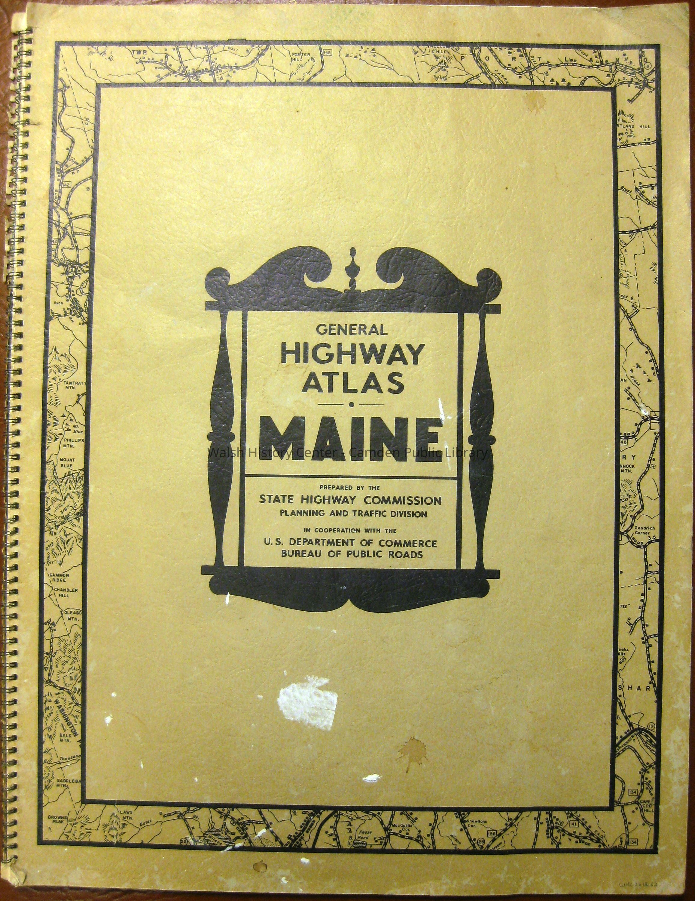
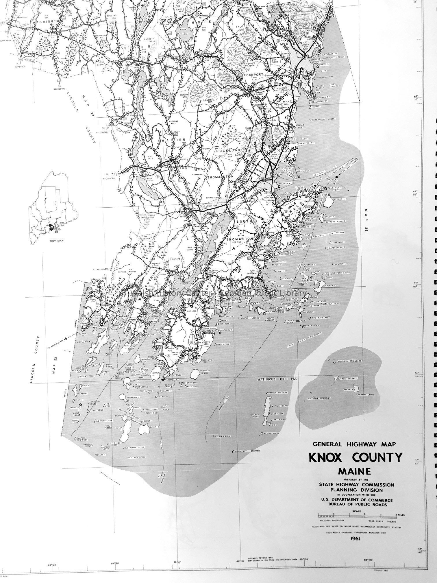
MAINE GENERAL HIGHWAY ATLAS, Prepared by the State Highway Commission - Planning and Traffic Division, 1964. Paperboard covers, spiral bound; v + 51 pages plus 52-54 A&B pages. Maps are arranged by county and show roads and dwellings.Collection
Camden Public Library Map CollectionCataloged By
Wyatt BerryAcquisition
Accession
WHC 2018.62Source or Donor
CPL Map CollectionAcquisition Method
Found in CollectionLexicon
Nomenclature 4.0
Nomenclature Secondary Object Term
MapNomenclature Primary Object Term
CartographNomenclature Sub-Class
Graphic DocumentsNomenclature Class
Documentary ObjectsNomenclature Category
Category 08: Communication ObjectsLOC Thesaurus for Graphic Materials
Maps, RoadsSearch Terms
State Highway Commission, Highway Atlas, Maps, RoadsArchive Details
Date(s) of Creation
1964Archive Size/Extent
18 1/2" X 24 1/2"Location
Location
Cabinet
Map CaseBuilding
Walsh History CenterCategory
PermanentDate
October 21, 2025Category
PermanentMoved By
Wyatt BerryDate
September 21, 2018Inventory
Inventoried By
Wyatt BerryInventoried Date
Sep 21, 2018General Notes
Note
Status: OK
Status By: Wyatt Berry
Status Date: 2018-09-21Created By
admin@catalogit.appCreate Date
September 18, 2018Updated By
admin@catalogit.appUpdate Date
October 27, 2025