Name/Title
A DECORATIVE MAP OF UPPER PENOBSCOT BAYEntry/Object ID
WHC 2018.75Scope and Content
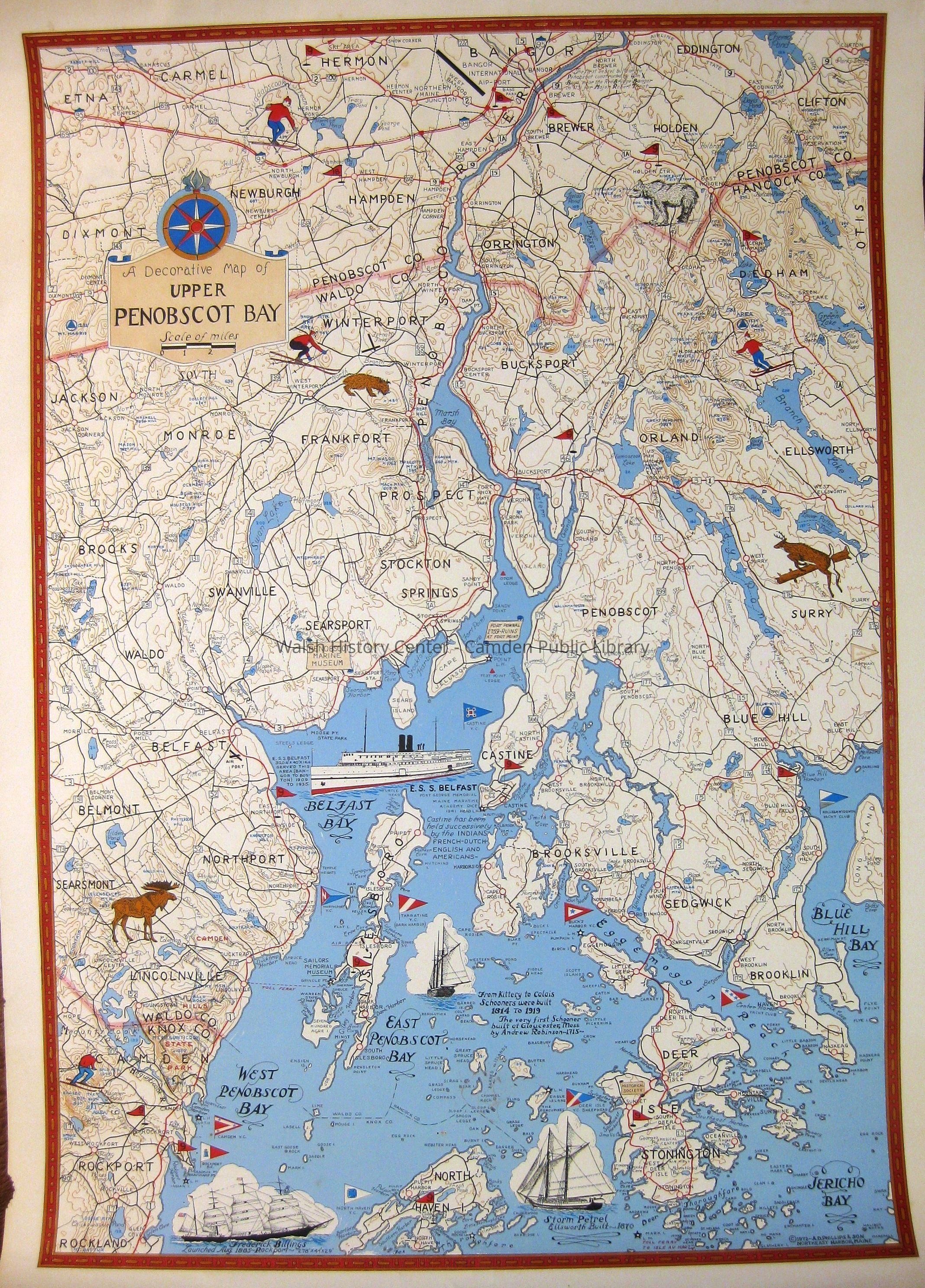
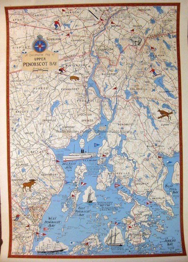
A DECORATIVE MAP OF UPPER PENOBSCOT BAY by A. D. Phillips & Son, Northeast Harbor, Maine, Copyright 1972. This map, with scale of miles, shows towns, roads, ponds and streams, and points of interest. Land areas bear illustrations of wildlife and sports; ocean areas bear marine burgees and sketches of vessels. There are a variety of "point of interest" notes. There is a slight tear in the left margin.Collection
Camden Public Library Map CollectionCataloged By
Wyatt BerryAcquisition
Accession
WHC 2018.75Source or Donor
CPL Map CollectionAcquisition Method
Found in CollectionLexicon
Nomenclature 4.0
Nomenclature Secondary Object Term
MapNomenclature Primary Object Term
CartographNomenclature Sub-Class
Graphic DocumentsNomenclature Class
Documentary ObjectsNomenclature Category
Category 08: Communication ObjectsLOC Thesaurus for Graphic Materials
Maps, Roads, Ponds, Streams, IllustrationsSearch Terms
Maps, A. D. Phillips & Son, Towns, Roads, Ponds, Streams, Points of Interest, Illustrations, Decorative, Penobscot BayArchive Details
Creator
A. D. Philips & SonDate(s) of Creation
1972Archive Size/Extent
20" X 28"Location
Location
Cabinet
Map CaseBuilding
Walsh History CenterCategory
PermanentDate
October 21, 2025Category
PermanentMoved By
Wyatt BerryDate
September 21, 2018Inventory
Inventoried By
Wyatt BerryInventoried Date
Sep 21, 2018Relationships
Related Person or Organization
Person or Organization
A. D. Phillips & SonGeneral Notes
Note
Status: OK
Status By: Wyatt Berry
Status Date: 2018-09-21Created By
admin@catalogit.appCreate Date
September 19, 2018Updated By
admin@catalogit.appUpdate Date
October 27, 2025