Name/Title
APPLETONEntry/Object ID
WHC 2018.105Scope and Content
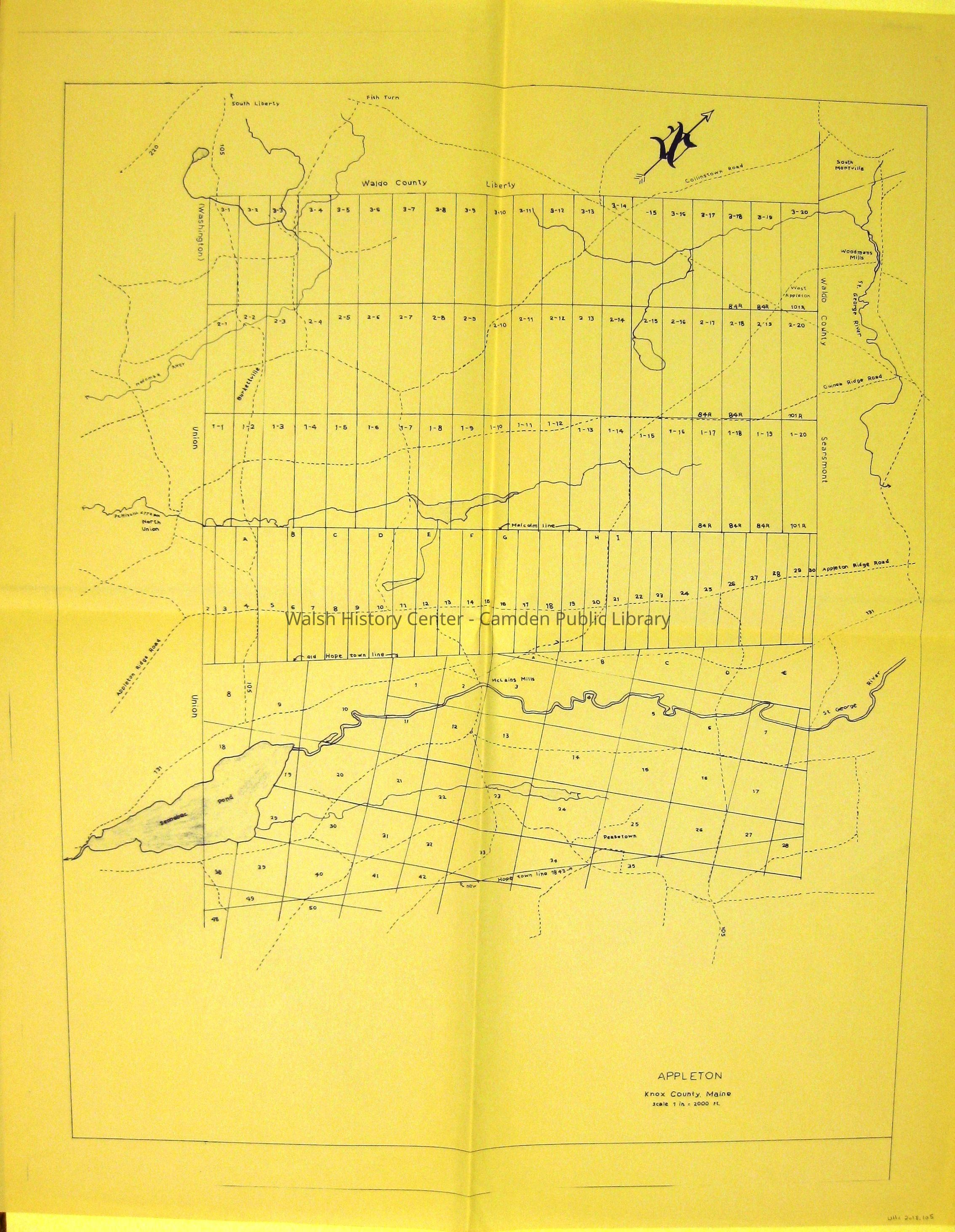
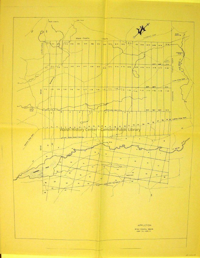
APPLETON. Plan of Appleton incorporating the portion of Hope added to the original town of Appleton in 1843. Modern roads are shown and named. Lots are drawn and numbered according to the original sources, which are: the 20 Associates' map of Appleton Ridge by John Harkness; the three ranges of lots laid out by James Malcom; and that portion of the 20 Associates' 1799 map of Hope as transferred to Appleton in 1843. Blueprint; scale of 1"=2000'.Collection
Camden Public Library Map CollectionCataloged By
Wyatt BerryAcquisition
Accession
WHC 2018.105Source or Donor
CPL Map CollectionAcquisition Method
Found in CollectionLexicon
Nomenclature 4.0
Nomenclature Secondary Object Term
MapNomenclature Primary Object Term
CartographNomenclature Sub-Class
Graphic DocumentsNomenclature Class
Documentary ObjectsNomenclature Category
Category 08: Communication ObjectsLOC Thesaurus for Graphic Materials
Maps, Plans, Roads, BlueprintsSearch Terms
APPLETON, Maps, Plans, Roads, Lots, John Harkness, James Malcom, 20 Associates, BlueprintArchive Details
Date(s) of Creation
1843Archive Size/Extent
24" X 29 3/4"Location
Location
Cabinet
Map CaseBuilding
Walsh History CenterCategory
PermanentDate
October 21, 2025Category
PermanentMoved By
Wyatt BerryDate
September 21, 2018Inventory
Inventoried By
Wyatt BerryInventoried Date
Sep 21, 2018Relationships
Related Person or Organization
Person or Organization
John HarknessPerson or Organization
James MalcomGeneral Notes
Note
Status: OK
Status By: Wyatt Berry
Status Date: 2018-09-21Created By
admin@catalogit.appCreate Date
September 21, 2018Updated By
admin@catalogit.appUpdate Date
October 27, 2025